More storms forecast for Melbourne, after monster deluge

Melbourne faces a repeat of severe storms like those that brought dangerous flash flooding to some suburbs just 24 hours ago.
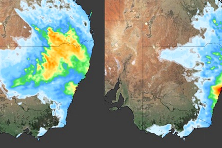
The Bureau of Meteorology warned Melburnians more thunderstorms were likely to hit the city on Wednesday and Thursday afternoon.
Residents in the outer suburb of Lilydale faced a savage downpour on Tuesday night, which brought 70 millimetres of rain in less than an hour – including 40 millimetres in less than half an hour.
The Victorian State Emergency Service received more than 130 calls for help in as flash flooding struck the area, in the city’s outer north-east. Most calls came from Croydon, Chirnside Park, Mooroolbark, Lilydale, Emerald and Olinda.
Cars were submerged and there were 11 flood rescues, prompting a plea for Victorians to resist driving through floodwaters.
While further storms are likely, BOM meteorologist Matthew Thomas said deluges were unlikely to be on the level of Tuesday’s.
“We’ve got slightly stronger winds aloft today over Melbourne so it’s likely that any thunderstorms that do develop, and there is a chance for them developing over the northern and eastern suburbs today, the likelihood is the storms will move quicker,” he told Melbourne’s 3AW.
“While they will still have quite a bit of moisture to tap into they will not drop that all in the one location like they did yesterday.”
Tweet from @ParkerSMcKenzie
However, a fresh system will move across Victoria on Sunday, bringing more flooding to the state’s battered north.
The Bureau of Meteorology has also issued flood warnings for several rivers and creeks, including Snowy River and Murray River upstream of Lake Hume.
On Wednesday afternoon, the Victorian State Emergency Service advised residents of Jarrahmond to move to higher ground. There are also active evacuation orders for Echuca, Echuca Village, Barmah and Lower Moira, Kerang and Bunbartha.
Bunbartha residents have been warned to avoid contact with floodwater, which is considered ‘toxic’ after a failure of the local sewage treatment plant.
Tweet from @EWNAlerts
Storm threats for Sydney, Brisbane
Sydney has enjoyed sunny skies for most of Wednesday – but the storm alert also looms there.
The BOM said there was a chance of severe thunderstorms on Thursday before the weather cleared again.
The NSW State Emergency Service site shows numerous emergency warnings remain active across the state.
Brisbane also faces the threat of severe thunderstorms on Thursday afternoon and evening, before a return to calmer weather.
Tweet from @weatherzone
It’s raining and pouring in South Australia
Adelaide is likely to set a record for a wet October, as the effects of La Nina are felt across much of southern Australia.
Forecaster Weatherzone said on Wednesday the SA capital was on track for its wettest October in 17 years. It has had rain or showers on 13 days so far this month – compared to an average of 10-11 days.
“As it stands Adelaide is having its wettest October since 2016, which had 14 rain days. If it gets to 15 this month, this will be its rainiest October since 2005 (17 rain days),” Weatherzone said.
Sydney has already endured its wettest October in 165 years of records, passing that level on Monday – with a week of the month still to come.
Victoria is also on track for the record books, with up to 50 millimetres of rain forecast across much of the state by Monday.
“There’s no doubt that October will smash the rainfall record across the northern plains,” BOM senior meteorologist Kevin Parkyn said on Tuesday.
“There will never have been a wetter October in our record books.”