Cyclone, heat and floods as triple weather threat hits northern Aus
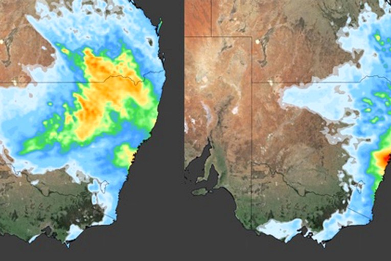
Source: Bureau of Meteorology
Temperatures are soaring in Brisbane as Queensland faces the twin threat of a heatwave and a looming cyclone.
Meanwhile, across the border in the Northern Territory, another tropical low that has caused widespread flooding, road closures and evacuations of some communities as it moves into Western Australia’s Kimberley.
Parts of the Queensland capital were tipped to feel like they’d hit 50 degrees on Monday, as a hot and humid airmass hovered over the city.
“Unfortunately for anyone living in south-east Queensland, Monday’s heat is being exacerbated by high humidity, which is making the air temperature feel around four-eight degrees warmer than thermometers are indicating,” forecaster Weatherzone said.
It said Brisbane’s temperature already felt like 40.5 degrees by 10.20am (AEST), despite the air temperature sitting at 34 degrees. Queensland’s energy use was expected to hit record levels on Monday amid the heatwave.
“This sweltering ‘feels like’ temperature was due to excessive levels of water vapour in the atmosphere, with a dew point of nearly 26 degrees at the time,” Weatherzone said.
Brisbane can expect relief from a southerly change moving up the northern NSW, which will arrive by Monday night.
But temperatures will remain high in central Queensland. Many inland areas, including Bowen, Birdsville, Bundaberg, Brisbane, Gladstone, Ipswich and Longreach, were forecast to reach the low 40s.
Tweet from @QldFES
Further north, a tropical that is expected to become the state’s second cyclone of the summer is moving across the Coral Sea towards the Queensland coast.
The Bureau of Meteorology expected the system to develop into a category one cyclone as soon as early Tuesday morning, and reach category three strength by mid-week.
Cyclone Kirrily, as it will be named, is expected to hit the Queensland coast from Wednesday. It comes a month after ex-Tropical Cyclone Jasper crossed the Queensland Coast near Wujal Wujal, bringing widespread devastating floods.
Cyclone Kirrily is expected to strengthen as it closes in on the coast, with areas around Townsville in the firing line.
“It’s likely to cross the coast between Innisfail and Airlie Beach and then move further south,” the Bureau of Meteorology’s Daniel Hayes said.
“There’s some uncertainty about how far inland it may track before it starts to move south.”
Damaging wind gusts of up to 120km/h and heavy rainfall that may lead to flash flooding are expected in those north Queensland regions from Wednesday.
Emergency Management Minister Murray Watt said the impact could be significant.
“We would obviously be concerned if there was to be any further impact on those areas that were already hit by tropical Cyclone Jasper and are very much still in recovery mode,” he told ABC radio on Monday.
“But really, if we’re talking about a category three system, that could have pretty serious effects wherever it crosses landfall.”
The continued weather events could also have knock-on effects on inflation, Watt warned.
“There are some crops like all pawpaws, tropical fruits, which were directly impacted,” he said.
“But the additional impact is on supply chains.”
The Palmerston Highway, a key supply route, has been badly damaged but Watt said there were no direct signs the weather has had an impact on produce costs and inflation at this stage.
He has held talks with Queensland Premier Steven Miles to ensure emergency management agencies are ready and to get supply chain routes back up and running.
Miles said his concerns were for already-fatigued emergency service personnel and how further rainfall could affect already sodden regions.
Authorities are preparing for a third natural disaster in just over a month.
“Our greatest concern is just stretching out emergency services, the fatigue amongst them has been pretty high,” he told ABC Radio.
“We’ve been trying to rotate and rest them through. But this third disaster, if it’s as bad as the bureau says it could be really will test them.”
Evacuations as flooding hits NT
Narramore said the tropical low that had brought heavy rain and floods to parts of the NT had been “persistent” and was tracking so slowly it was “hardly moving” across the territory.
The community of Kalkarindji was warned it could be isolated as the Victoria River rose to near-record flood levels on Sunday.
Some catchments along the river received up to 370 millimetres of rain in three days.
While the system is not expected to bring as much rain to the Kimberley as it has across the NT, a severe weather warning has been issued for the region.
Heavy rainfall and flash flooding are possible and a flood watch is in place for East Kimberley, Fitzroy River, Sandy Desert De Grey River and Sturt Creek District.
-with AAP