Cyclone Megan could develop into category four in Top End
Tropical Cyclone Megan has become a category three system as it hits the NT coast. Photo: AAP
Tropical Cyclone Megan could develop into a category four system with those in the firing line of the crossing warned to evacuate immediately.
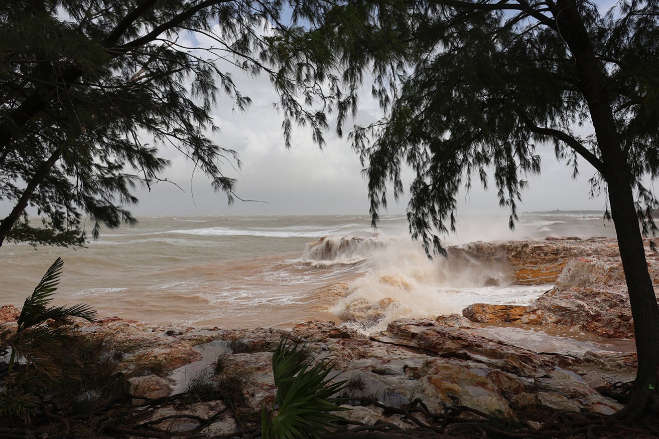
“Severe Tropical Cyclone Megan is beginning to impact the south-western Gulf of Carpentaria coast,” the Bureau of Meteorology advised at 8pm (ACST) on Sunday.
The weather system has intensified into a low-level category three with a 20 per cent chance of developing into a category four when it makes landfall, the bureau says.
“It does have enough time that it can strengthen,” the bureau’s Shenagh Gamble said.
“Our current forecast is that it will not reach a category four tropical cyclone.
Tweet from @BOM_Qld
“However, if this system slows down, it is in a favourable enough environment that it can strengthen to a category four tropical cyclone.”
The cyclone is expected to cross the NT coast on Monday evening but heavy rainfall and wind gusts could hit the Gulf of Carpentaria even earlier.
On Sunday night, there were wind speeds of 130km/h with gusts of up to 185km/h as it moved south through the gulf towards land.
The warning zone for the system stretches hundreds of kilometres from Alyangula on Groote Eylandt in the NT to the Queensland border and inland to Borroloola, the McArthur River Mine and Robinson River.
“It’s quite a large tropical cyclone, taking up around a third of the Gulf of Carpentaria area,” Gamble said.
The bureau said the cyclone would have a “very destructive core” when it makes landfall on Monday, with wind gusts of up to 220km/h expected as it crosses the coast between the Nathan River in the NT and the NT-Queensland border.
Rainfall totals exceeding 300 or 400mm are forecast for the centre of the cyclone while widespread rainfall between 150 to 200mm is forecast for surrounding areas.
Coastal residents between Nathan River and the border are specifically warned of a dangerous storm tide.
“There is a very dangerous storm tide associated with this system and tides are significantly higher than the normal high tides,” Gamble said.
Flood watches are in place for the Carpentaria, north-western parts of the Top End, Arnhem, Barkly and eastern Daly districts.
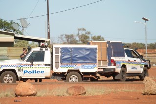
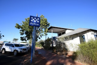
NT Police Superintendent Sonia Kennon says people in the the flood watch zones should consider evacuating now if they have a capable vehicle as there is already damage to the Carpentaria Highway.
“If you are leaving the community, please ensure that you go to the local police station.
“Advise and leave your name, persons in the vehicle, registration of the vehicle, contact details and address of where you’re going to be locating yourself to,” Kennon said.
“This is to ensure that we can follow up on you.”
Residents are urged to prepare now before the cyclone makes landfall by securing loose items on their property, storing water and ensuring they have stocked up on food.
“When the tropical cyclone does arrive, we need you to take shelter inside. Stay indoors until all clear is given by the authorities,” Kennon said.
Communities outside the tropical cyclone warning zone could still feel the impacts of wind and rain, with a severe weather warning for heavy rainfall issued in the East Arnhem district.
The weather system is expected to return to a tropical low as it heads further inland on Tuesday and Wednesday, prompting the bureau to issue flood watches for further river rises across the territory.
But once over land, Megan will weaken and track west through the Northern Territory as a tropical low.
It comes one month after category one ex-tropical Cyclone Lincoln crossed the territory’s coast in the southern Gulf of Carpentaria, bringing high winds and heavy rainfall.