BoM warns ‘high risk’ of Lincoln turning back into a cyclone
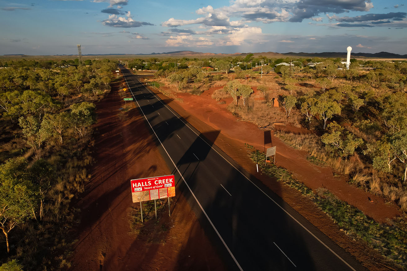
Ex-tropical cyclone Lincoln has crossed the WA border near Halls Creek and is heading to the coast. Photo: AAP
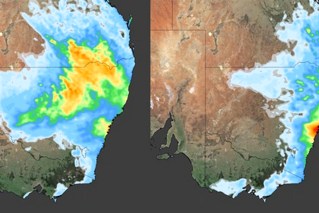
A massive storm dumping heavy rain in Western Australia has a 60 per cent chance of redeveloping into a tropical cyclone.
The weather system, which was formerly Tropical Cyclone Lincoln, continued to move slowly west from the Northern Territory into the Kimberley on Tuesday.
It’s located near Halls Creek, with the Bureau of Meteorology warning widespread rainfall could lead to flooding in some areas.
The system is expected to move west-north-west through the Kimberley and cross the coast by mid-week.
Tweet from @BOM_au
Senior Meteorologist Angus Hines said it could gather strength and develop tropical cyclone strength later this week as it moves south down the WA coast.
“We will see the wind speed really start to ratchet up around the ex-tropical cyclone through the course of the second half of this week,” he said.
“Thursday and Friday bring a high risk, a 60 per cent chance, of re-intensification back into a tropical cyclone for what would then become once again Tropical Cyclone Lincoln.”
The bureau said it was possible the weather system could cross the coast in the Gascoyne region at the weekend as a severe tropical cyclone.
“The current forecast that brings the system back onshore during Saturday morning somewhere near Exmouth in the far north-west of WA,” Hines said.
From Sunday, Lincoln is likely to weaken over land.
Tropical Cyclone Lincoln crossed the NT coast near Borroloola on Friday and weakened as it moved inland across central NT.
The system has bucketed heavy rain in the NT in recent days, with 103mm recorded in six hours early on Tuesday at the remote community of Lajamanu.
A severe weather warning remains in place for parts of the NT’s Tanami and Gregory districts, with residents warned 24-hour rainfall totals up to 200mm and flash flooding are possible.
A similar warning has been issued for parts of the eastern Kimberley district for Tuesday and Wednesday.
Six-hourly rainfall totals between 50 to 80mm and 24-hour rainfall totals between 80 to 120mm are likely, the bureau said.
Isolated areas may receive falls of up to 200mm.
A flood watch alert has been issued for north-west Queensland, central NT and most of WA’s north.