Snow, waterfalls and flood warnings as rain engulfs central Australia
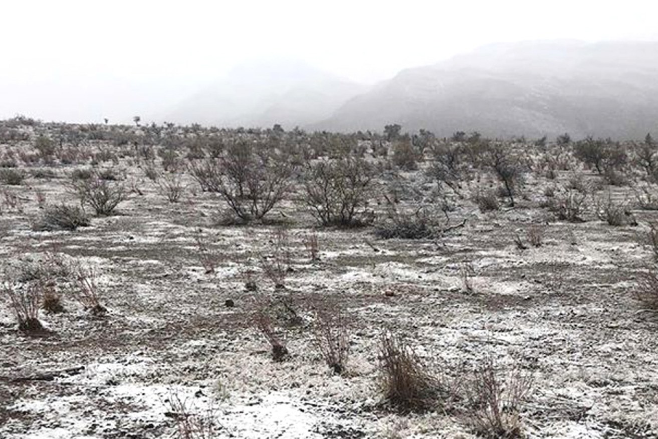
Rare snow on the ground at Wilpena Pound, in central South Australia, in 2020 (file photo). Photo: Facebook/Wilpena Pound Resort
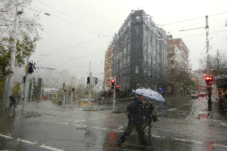
A large rain band sweeping across northern and central Australia has prompted extensive flood warnings, closed roads and disrupted communities.
It is accompanied by a cold snap that could also bring snow to parts of central Australia – for the first time in nearly a quarter of a century.
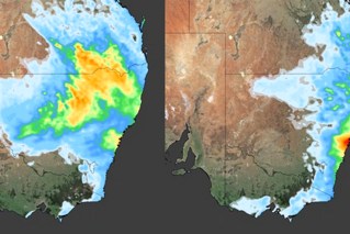
Parts of South Australia, Western Australia and the Northern Territory are being hit by the unseasonable weather system, with rainfall totals over the next few days expected to hit 100 millimetres in some areas.
In parts of WA and SA, June temperature records are also being broken.
“Day-time temperatures are currently 6 to 10 degrees below average and may drop as much as 8 to 14 degrees towards the end of the week,” the Bureau of Meteorology said.
“Central and western Kimberley have received 25 to 50 millimetres of rain, with isolated rainfall totals up to 70 millimetres.
“Widespread rainfall between 25-50 millimetres is expected through parts of the Kimberley and north-east interior, while 50-100 millimetres of rainfall is expected through central Kimberley for the remainder of the week.”
In WA, the weather bureau has active flood watches for the Pilbara, Kimberley and interior districts.
The rain was expected to ease on Wednesday before the system redeveloped on Thursday and peaked on Friday.
“River and creek level rises and localised flooding are possible, however, river levels are expected to remain below the minor flood levels,” the bureau said.
“Localised flooding may affect secondary road conditions, which is likely to impact travel and movement initially across the northern Pilbara, Sandy Desert, and the Kimberley.”
Tweet from @TysonMillar
In the NT, the bureau said flooding was possible in the southern and central regions.
It said up to 80 millimetres of rain had fallen in the past few days and totals between Wednesday and Sunday could hit 100 millimetres, well above the June average of about 20 millimetres.
Waterfalls have begun cascading down the sides of Uluru as the rain has hit this week.
In SA, there are flood watches for the north-west and north-east pastoral districts and the Flinders Ranges.
“Heavy rainfall across the flood watch area may cause areas of ponding and overland flow, along with rises in local creeks and overbank flooding,” the BOM said.
“Roads, travel and transport may be impacted, and communities may be cut off.”
SA police said several outback roads had been closed, including the Birdsville, Strezlecki and Oodnadatta tracks and the William Creek Road.
They also urged people planning to drive to the Birdsville Big Red Bash from July 4-6 to postpone or reconsider their travel routes.
Last week, similar flood concerns hit Adelaide and the surrounding hills with heavy rain swelling creeks and rivers.
At one stage, two private dams at Hope Forest and Basket Range were at risk of collapse and the State Emergency Service took more than 250 calls for help.
The deluge took rainfall totals in Adelaide so far this year to more than 320 millimetres, its wettest first-half total for more than 35 years.
Parts of the SA outback have set unwelcome temperature records this week as well, as the front has moved across.
Forecaster Weatherzone said Port Augusta got only to a maximum of 10.4 degrees in the 24 hours to 9am Wednesday.
“This was Port Augusta’s coldest June day on record, with data from several weather stations collectively dating back to 1957,” Weatherzone said.
Marree, in the state’s north, reached a high of 11.9 in the same timeframe – its lowest daily maximum temperature since 1956, and its coldest day for any month since 1998.
Weatherzone said both towns normally averaged about 18-19 degrees during June.
Tweet from @EvilMattmos
It is also cold in central Australia, with temperatures expected to plummet further on Friday and Saturday. This could bring snow to the Northern Territory’s highest peak of Mount Zeil, in the western MacDonnell Ranges, about 130 kilometres west of Alice Springs.
If it does snow at Mount Zeil, which is 1531 metres above sea level, it will be the first fall there since 1997.
BOM senior forecaster Billy Lynch said forecasts of snow weren’t assured, despite temperatures plunging well below average.
“That model is the European model; all models need to be treated cautiously,” he told the ABC.
“But it is indicating that on Friday and Saturday there is a significant cold pool moving across central Australia.
“As strange as it sounds, I’m not willing to rule out the chance of snow on some of those very high peaks.”
– with AAP