Communities on Sydney’s fringes will be nervously watching river levels as residents there and across southern NSW tackle the damage from record-breaking downpours and major flooding in some areas.
More than 107 warnings were in place late on Saturday night.
Further river rises and moderate to major flooding was expected along the Hawkesbury River north-west of Sydney into Sunday morning after the week ended with 200 millimetres across much of the catchment.
The river was expected to peak above the major flooding level at North Richmond on Sunday morning, albeit two metres below the peaks reached in major floods in 2021 and 2022.
Tweet from @NSWSES
Evacuation centres have been established either side of the river for displaced residents.
The rain on Friday and Saturday earlier caused landslips, flash flooding and a house in Wollongong to be swept into a creek.
Witnesses reported seeing two people emerge from the mangled home in Mount Keira.
Part of a house was washed up onto Koloona Avenue in Mt. Kiera.
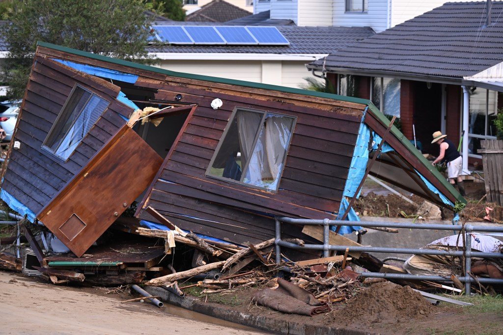
Photo: AAP
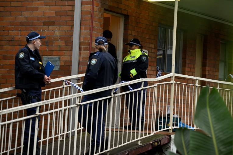
Investigations on Sunday will also continue into the death of a man found in water in Penrith.
The man, whose death was not attributed to a cause, was located by a passer-by about 7.30am on Saturday.
Moderate flooding was occurring at Windsor overnight while Penrith on Sydney’s western fringe had minor flooding.
Meanwhile, coastal erosion was expected along the south coast as strong to gale-force winds drove large waves onto the coast overnight.
More than 100 millimetres fell in Nimmitabel in the Bega Valley on Saturday as the weather system began to move south into the Tasman Sea.
SES crews rescued scores of people from their vehicles with almost half of the 168 flood rescues statewide in metro areas.
Lakes and lagoons overflowed into roads and residences while numerous national parks were closed including urban oasis Lane Cove National Park.
Trains across the Sydney and NSW rail networks faced significant delays and gaps in service into Saturday night due to flooding affecting infrastructure in various locations.
Commuters were advised to avoid travel or allow plenty of extra time.
An overflowing Parramatta Weir was also continuing to stop river ferry services from going further upstream of Rydalmere.
Almost a dozen evacuation alerts were in place overnight but conditions elsewhere were expected to ease.
Tweet from @BOM_NSW
Partly cloudy conditions were forecast for the hardest-hit areas including Sydney and Wollongong.
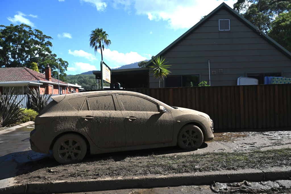
A mud covered car in the suburb of Bulli in Wollongong. Photo: AAP
Scattered showers were expected about the southern and central slopes and ranges, and the NSW southeast.
The weather system’s final hurrah was expected to hit the northeast of the state, as the coastal trough brought thunderstorms, possibly severe on Sunday.
—with AAP