‘Conveyor belt of cold fronts’ coming to south-east Australia
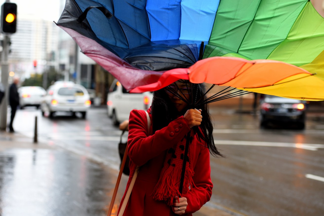
Southeast Australia is set to be hit by a three cold fronts for at least the next week, Photo: AAP
Australians are being warned as a “conveyor belt of cold fronts” begins to sweep over the country’s south-east from Thursday, with warnings of severe weather.
Forecasters have warned of days of fierce winds, hail, thunderstorms, cold temperatures and heavy rainfall for four states and territories, as three consecutive cold fronts roll across the nation, and into next week.
Residents of South Australia, Victoria, Tasmania and the ACT can expect to bear the brunt of the wet and windy weather.
“Here they come. One cold front after another for at least the next week for south-east Australia,” forecaster Weatherzone reported on Thursday.
Cold, showery weather is predicted for all three states and the ACT from Thursday into Friday morning, with a second, even colder front arriving on Saturday.
The third and potentially strongest and coldest front approaching south-east Australia is expected to arrive on Tuesday.
The Bureau of Meteorology warned of increasing rain for Victoria on Thursday, predicting it to remain for much of the next week.
Tweet from @BOM_Vic
It also issued a severe weather warning for damaging winds, with gusts of up to 110km/h for parts of the state.
Hobart, Adelaide and Canberra can expect three days of rain, with very high chances of showers until Sunday, according to BoM.
“Damaging winds averaging 60-70km/h, with peak gusts in excess of 90km/h, are possible for parts above 1500 metres of the Snowy Mountains, ACT, southern tablelands and south coast from Thursday morning,” BOM said in a warning for the national capital.
“Damaging winds averaging 80-90km/h, with peak gusts in excess of 125km/h, are possible for alpine areas above 1900 metres from Thursday morning into Thursday evening. The time of greatest risk will be in the afternoon.”
Winds are expected to ease in alpine areas on Friday morning.
Sydney is expected to duck the worst of the wild weather, even as rain increases and moves north from Victoria into southern NSW on Thursday night.
There are chances of showers across parts of NSW on Thursday and into Friday. But the state will be relatively warm compared to the chill forecast further south.
Temperatures in NSW are expected to stay in the high teens and peak in the low 20s until Tuesday.
The wild weather for Victoria follows flooding in the state’s south-east earlier this week.


