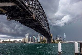
Storms and flooding as ‘near-stationary’ weather bomb parks over Sydney

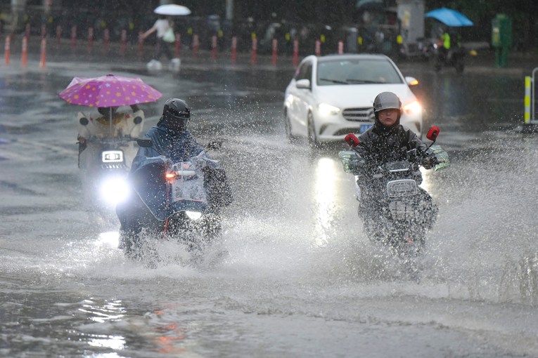
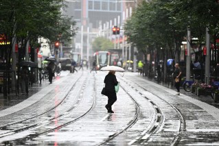
Heavy rain was again falling across Sydney on Wednesday afternoon, as NSW residents faced the prospect of even more flooding in coming days.
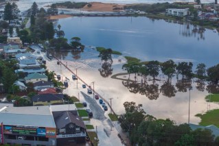
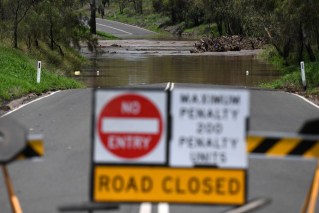
The forecast torrential rain has hit NSW ahead of schedule, with downpours lashing greater Sydney and already causing minor flooding on some roads by mid-afternoon.
There are major concerns for catchments in the city’s north-west and Hawkesbury Nepean, where the dams are already full. Warragamba Dam, which is already at 100 per cent capacity, is expected to spill on Friday after days of rain.
The Bureau of Meteorology reissued a severe weather warning for the area from Gosford to Bega as the rain hit.
“Six-hourly rainfall totals between 60 to 100 millimetres are likely, reaching up to 140 millimetres over coastal areas,” it said.
That is almost double the area’s typical monthly rainfall.
The NSW SES renewed its warnings for residents to clear gutters on their homes, and avoid travel unless it was essential.
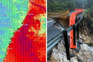
It has also warned of the potential for further landslips, as heavy rain and strong winds make the ground increasingly unstable.
Earlier this week, two British tourists were killed and two critically injured in a landslide in the Blue Mountains. All tracks in the area remain closed after Monday’s tragedy.
Bureau senior meteorologist Sarah Scully said heavy rain across the NSW south coast would extend across Sydney and the adjacent ranges by Thursday.
Rain is likely to increase across greater Sydney on Wednesday night.
“Heavy and persistent showers over coming days will increase the risk of flash flooding and landslips over already saturated catchments,” Ms Scully said.
“Severe thunderstorms are possible at the north-east of NSW on Friday.”
- See all of the BOM’s warnings for NSW here
The biggest rainfall totals are expected on the central and southern coasts, as far south as Bega.
NSW’s north – which has already enduring two major flooding episodes in recent weeks – can expect localised storms later in the week. Ms Scully said riverine flooding was unlikely in the region, but localised flash flooding was possible.
Weatherzone forecaster Ben Domensino said the latest rain was due to a stream of moisture-laden air feeding into a coastal low-pressure trough near NSW.
“This weather pattern is near stationary and is being enhanced by a slow-moving upper-level pool of cold air sitting about five-six kilometres above the ground,” he said.
“The result of this dynamic weather pattern will be several days of persistent and heavy rain and thunderstorms … [with the] heaviest rain likely to fall over the central and southern coast and ranges in NSW.”
This week’s wet weather comes after Sydney endured its wettest March on record, with more than 500 millimetres falling.
