Queensland set for ‘life-threatening’ flooding
With dams full, grounds saturated and snow melting, flooding around NSW could continue for months. Photo: AAP
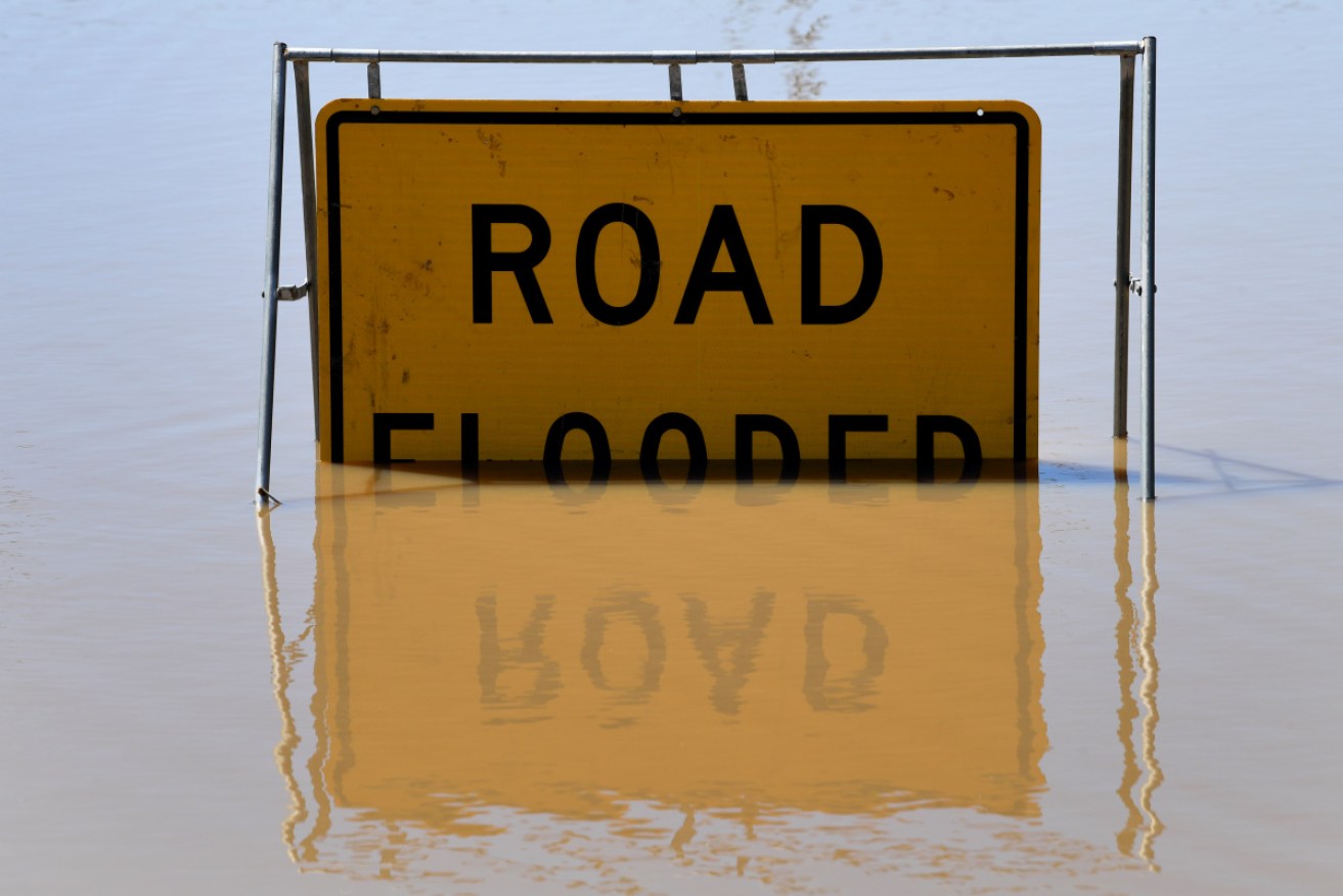
Queensland is bracing for “life-threatening” flash flooding with more wild weather set to signal an end to the state’s heatwave conditions.
Barely 24 hours after a tornado and a supercell caused destruction near Brisbane, severe thunderstorms have been forecast in areas still recovering from last month’s widespread floods.
The Bureau of Meteorology says heavy rain is set to develop through to Wednesday night across the state, from Northern Goldfields and Upper Flinders up north, out west to Channel Country and down to the southeast.
BOM warned “intense” falls were likely in the southeast on Thursday particularly inland over the Southern Border Ranges, Scenic Rim and Main Range National Park.
“There is the risk of life-threatening flash flooding if intense rainfall does occur,” BOM’s Brooke Pagel said.
Tweet from @BOM_Qld
The severe storms look set to continue after a tornado wreaked havoc at Logan, south of Brisbane and a supercell hit Ipswich, west of the Queensland capital late on Tuesday.
Ms Pagel said the supercell that damaged homes – with one catching fire – and cut power for more than 15 hours merged with a severe storm in Logan to cause more destruction.
“A tornado was spotted at Logan which caused a lot of damage to houses and with trees down, with gusts reaching more than 90km per hour,” she told AAP.
There are more than 800 homes still without power in the southeast on Wednesday afternoon after the storms ripped through the region and damaged scores of homes and power lines, with 60mm of rain falling in 30 minutes in some areas.
About 30,000 homes were without power in the southeast at the peak of Tuesday’s storms with more than 100,000 lightning strikes reportedly recorded.
The thunderstorms are set to signal the end of the three-day heatwave that has hit the state’s eastern seaboard from Townsville up north to the southeast.
Temperatures are set to ease on Wednesday night with a dramatic drop to the mid-20s the next day thanks to a strong southerly change with showers also forecast.
Ms Pagel provided Brisbane as an example of the “oppressive” conditions Queenslanders have endured this week.
“The night time temperature on Tuesday for Brisbane was 34 degrees but felt like 43 — even for Brisbane that is incredibly high,” she said.
– AAP


