Flood crisis turns deadly, amid fresh NSW weather alarm
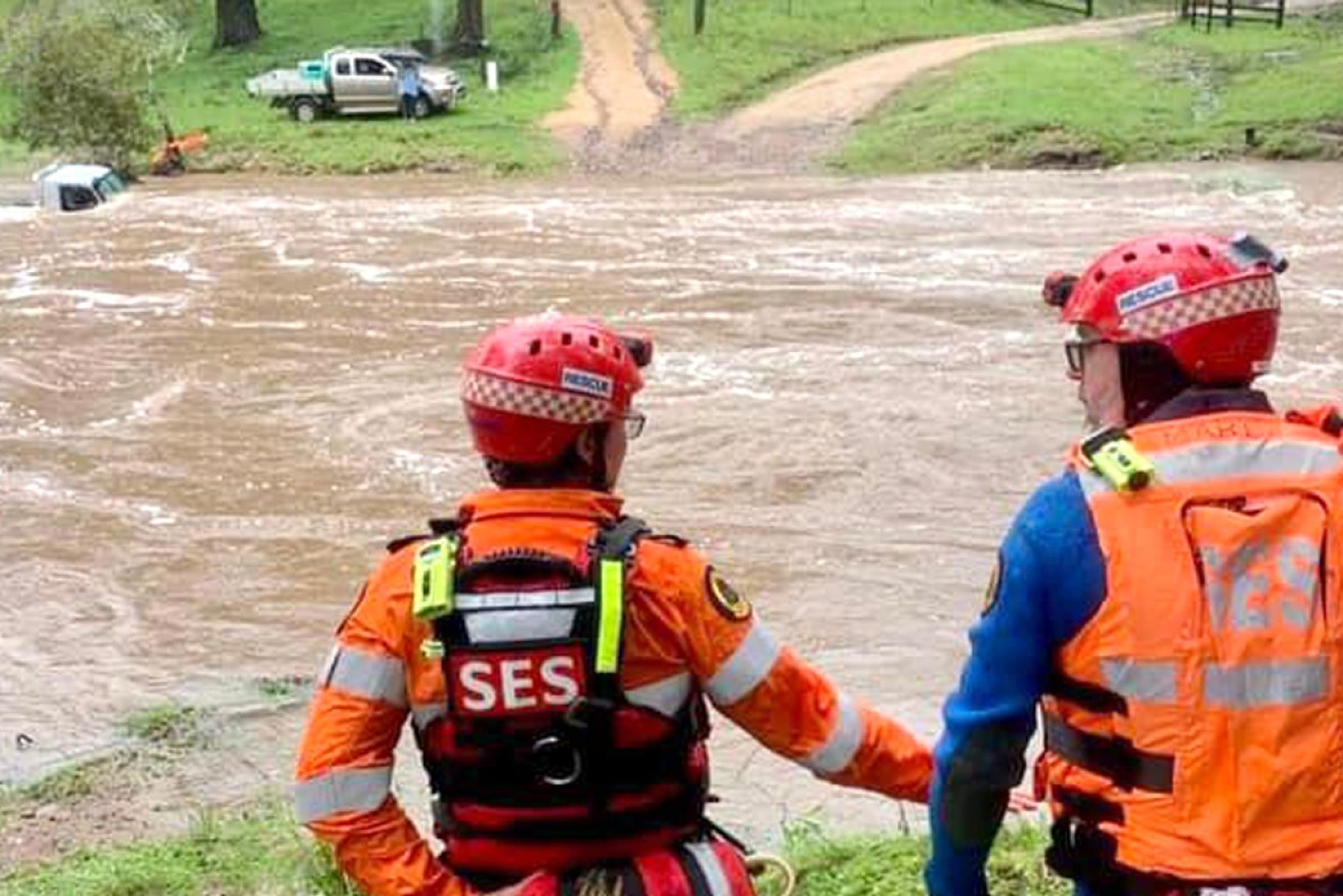
The NSW SES has been busy with flood rescues, including this one at Double Creek, on the South Coast. Photo: Facebook/SES Bega Units
The body of a woman swept away by floodwaters in south-east NSW has been recovered, as heavy rain adds to ongoing floods across the state.
The floodwaters claimed the woman, believed to be aged 37, early on Friday after a vehicle she and a man were travelling in became trapped in water at Tuross on the south coast.
Police were told she exited the vehicle and was then swept away.
The man travelling with her was found nearby and did not require medical treatment.
The woman’s body was recovered by the NSW SES about 7.15am on Friday.
Earlier, Queensland Police confirmed a woman’s body had also been recovered after flash flooding near Brisbane on Thursday. She was the second woman to die in Queensland floods this week.
Overnight, the NSW SES conducted 12 flood rescues, two-thirds on the south coast as downpours continued.
Parts of the region have been drenched with further rain predicted, while the north of the state and its capital could be hit with severe thunderstorms.
A storm hit Sydney earlier on Friday, bringing hail and heavy rain. More threatened the surrounding area in the afternoon.
“There were some isolated falls around the 30-millimetre mark and some isolated showers, most of that falling in pretty quick time,” Bureau of Meteorology senior forecaster Dean Narramore said.
He said there had been hail and heavy rain across Sydney.
“We will see that rain and storm activity continue, hopefully not as bad in the coming hours, before it clears offshore tonight.”
Tweet from @BOM_NSW
The weather bureau cancelled a severe storm warning for Sydney and Illawarra, but warned wild weather was still likely.
“Heavy rainfall and damaging wind gusts [are] affecting the south coast and Illawarra due to a developing low-pressure system offshore,” it said.
“[There is] additional risk of waterspouts to develop offshore and impact the coastal fringe.”
Heavy rain and flash flooding were likely, with the BOM expecting up to 150 millimetres in six-hour periods in the warning are. Strong winds might also uproot trees and damage properties.
“Rainfall is forecast to continue while extending slightly northwards during the day, before easing by this evening,” it said.
Some areas of the NSW south coast have already had more than 200 millimetres of rain in the 24 hours to 9am on Friday.
Lake Conjola near Ulladulla recorded 204 millimetres, three-quarters of it in just six hours on Friday morning.
Moruya had 209 millimetres, including 122 millimetres in three hours.
The Illawarra will get get some of that south coast rain on Friday as the system moves north and offshore, with Nowra and Kiama likely to receive heavy falls and damaging winds.
Tweet from @TimYowie
In the north, a low-pressure trough over inland NSW is dragging down moist and tropical air, fuelling severe thunderstorms that could produce heavy rain on the mid north coast, northern rivers and northern tablelands.
The NSW-Queensland border town of Mungindi could become isolated as more heavy rain adds to ongoing floods in both states.
The Barwon River that divides the two states is expected to peak on Friday at a level higher than the January 2011 floods, delivering major flooding and potentially closing roads.
The river continued to rise on Friday morning, reaching a height of 7.87 metres just after noon.
Roads in and out of Mungindi could be cut off “depending on how high the flood levels get”, Bureau of Meteorology NSW and ACT manager Agata Imielska said on Thursday.
Flood warnings are current for NSW inland catchments from the Border Rivers to the Murrumbidgee Rivers in the south of the state.
Flows from the Goulburn River are expected to contribute to river level rises at Singleton and downstream.
The Upper Hunter River is also subject to flood warnings, as are the Snowy and Upper Murray and Mitta Mitta Rivers from Thursday.
Renewed river rises are possible in the Lachlan, Namoi, Macquarie and Bogan Rivers where flood warnings are current.
Tweet from @BOM_Vic
Victoria’s east on the brink
There are also flood warnings for Victoria’s east. Rivers under watch include the Snowy, Mitchell, Avon, Cann and Genoa, Macalister and Tambo and Nicholson.
Closer to Melbourne, there is also a flood watch for the Werribee River catchment.
The weather bureau cancelled a severe weather warning for eastern Victoria on Friday morning, but said rain and showers would continue in Gippsland throughout the day.
“The immediate threat of severe weather has passed, but the situation will continue to be monitored and further warnings will be issued if necessary,” it said.
Highest falls in Victoria in the previous 24 hours included 116 millimetres at Mount Wellington, 113 at Mount Moornapa and 99 millimetres at Mallacoota.
-with AAP


