Flood watch for NSW northern rivers

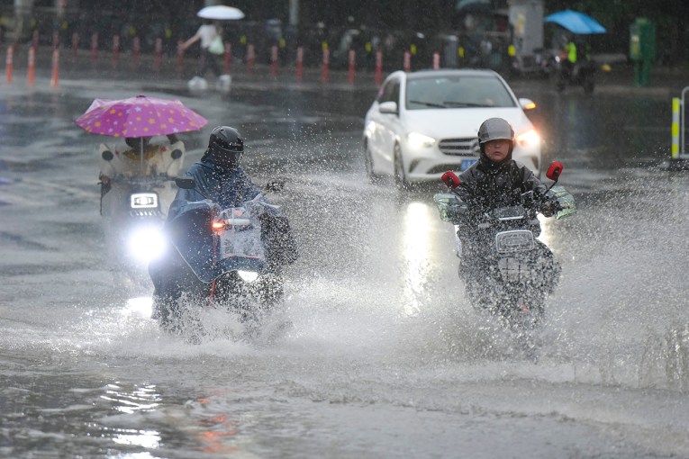
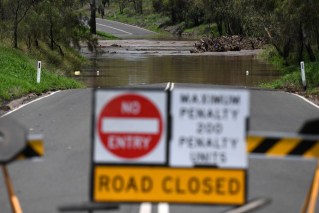
People in flood-affected areas should brace for more wet weather, the SES warns. Photo: AAP
A flood watch warning has been issued for NSW’s northern rivers and mid-north coast, with possible renewed river level rises in the north west slopes.
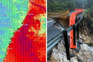
A low-pressure trough is expected to bring showers, rain and severe storms to northern and central NSW and rainfall that may cause minor flooding along parts of the northern rivers and mid-north coast on Tuesday and Wednesday.
A severe weather warning is current for the inland northern parts of NSW for heavy rainfall which may produce flash flooding and river rises through the northern inland and far north.
Bureau of Meteorology national flood operations manager Justin Robinson says there’s more rain on the way over the next two days for areas that have had major flooding in recent weeks.
“The areas of most concern are those areas in the northwest of the state … with the risk of renewed flooding in those northwestern rivers as well as the potential for some minor flooding along the northern rivers and mid-north coast,” he said on Tuesday.
“If you get very heavy rainfall in a very wet catchments, you will see some flash flooding and that can be particularly dangerous especially if you just happen to be in the wrong place at the wrong time and we get some really heavy isolated rainfall.”
Of greatest concern is renewed river level rises and subsequent flooding that’s possible along the Upper Macintyre, Gwydir and Namoi rivers, where flood warnings are current.
Flooding at Gunnedah continues to ease with the flood peak nearing Narrabri.
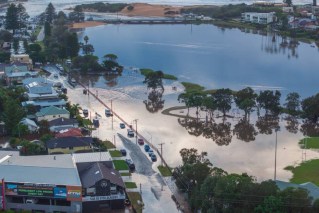
Major flooding continues downstream at Wee Waa, where water levels are expected to remain near the current level with major flooding.
Depending on how much rain falls in the next couple of days, flooding is expected to continue as water moves down the river systems.
“We’re really hoping to get some respite from some of the rainfall but every day we seem to be getting more and more rain across those flood-affected areas,” Mr Robinson said.
Over Tuesday and Wednesday, there could be rainfall totals of 40mm to 80mm about the northern inland with affected towns including Moree, Inverell and Narrabri.
The weather bureau says Coffs Harbour, Lismore and Ballina could cop rainfall totals of 80mm to 120mm over the next two days.
There’s a severe thunderstorm warning for heavy rainfall in the central west slopes and plains forecast district that may lead to flash flooding affecting Coonamble, Nyngan and Gilgandra.
The State Emergency Service says there is a 75 per cent chance of flooding developing in the following catchments: Tweed and Rouse Rivers, Brunswick River and Marshalls Creek, Wilsons River, Richmond River, Orara River, Bellinger and Kalang Rivers.
It says low-lying areas next to water courses are inundated and roads may be closed and low-level bridges submerged.
The SES performed eight flood rescues in the previous 24 hours and responded to 146 requests for help in flood-affected communities.
SES helicopters dropped emergency supplies to isolated communities, mostly in the Hunter and around the Namoi River in the towns of Gunnedah and Narrabri.
There’s a minor to major flood warning for the Lachlan River at Nanami, Forbes, Cottons Weir, Jemalong, Condobolin, Euabalong, Hillston and Booligal.
– AAP
