‘A month’s rain’ on the way for Australia’s east

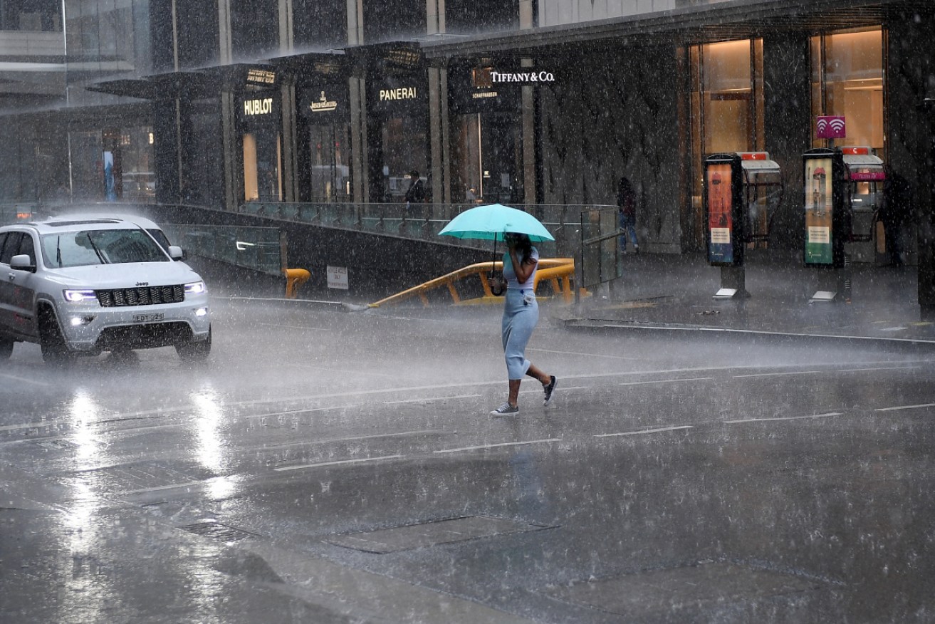
A severe weather system is continuing to wreak havoc across parts of inland NSW as Sydney edges closer to recording its wettest year on record. Photo: AAP
Severe thunderstorms and heavy rainfall are forecast across large parts of Australia, with NSW, Victoria, and Queensland forecast for wild weather until Friday.
Meteorologist Jonathan How said it was looming most significant rain event so far this spring.
“Pretty much half the country is going to be covered in thunderstorms,” he said.
Senior meteorologist Jane Golding said some areas could receive a month’s worth of rain before the end of the week.
“We’re seeing rainfall records broken that we haven’t seen in 10 years … over the course of three days many locations will exceed what they’d usually see in November,” Ms Golding said on Wednesday.
“The other feature is that it’s being followed by some really cold air, some really gusty winds and some really unseasonable snow to some low levels in the south.”
The rain has already drenched central Australia, where a man was trapped in Alice Spring’s flooded and rapidly flowing Todd River for more than six hours on Wednesday after his car was swept off a causeway.
“A very unfortunate incident this morning of someone entering the floodwaters and potentially paying the price and having to be rescued,” Northern Territory emergency services regional manager Ian Carlton told the ABC.
“They’ve thrown a life jacket to him. They will now try with ropes to get a rope to him or poles where he’s able to reach it and retrieve him.”
The man was eventually rescued about midday (local time), and walked to a waiting ambulance. He was reportedly suffering exhaustion, fatigue and had minor scrapes.
Tweet from @elizagoetze
There was also major flooding elsewhere in Alice Springs, after more than 90 millimetres of rain saturated the region on Tuesday.
More rain was expected on Wednesday, with another 50 millimetres predicted, before conditions ease on Thursday.
The big wet will spread across NSW and southern Queensland from late Wednesday, with minor to major flooding expected in many areas.
Parts of Queensland had already received 150 millimetres by Wednesday morning.
The Bureau of Meteorology said western Queensland was likely to receive three times its November monthly rain total in three days, while inland NSW communities can expect similar falls and flash flooding.
Daily rainfall totals in NSW are likely to reach 35-65 millimetres, with some areas forecast to get up to 50 millimetres every day until Saturday.
NSW SES Assistant Commissioner Dean Storey said the service had gone into a “heightened state of readiness” and extra resources were being deployed to flood-prone areas.
Tweet from @BOM_NSW
NSW could have flooding similar to levels in March, as the rain would have a significant impact on a large proportion of the state, Mr Storey said.
“The potential impact area for this weather event is quite vast,” he said.
Ms Golding said areas such as Lismore and surrounds that experienced severe flooding last year should miss the heaviest rains, but should prepare for “some really intense storms … and dangerous flash flooding”.
But in much of NSW, it won’t take much to cause flooding because the soil is already saturated from recent rain.
“There’s a real flood risk and dangerous flash flooding is on the cards,” she said.
Mr Storey expects roads to be cut, and warned those in flooded areas not to drive through floodwaters.
“Be aware and prepare, stay up to date with your local forecast and warnings, if you live in a flood-prone area, know that risk and plan accordingly … in case you are required to evacuate your home,” he said.
Tweet from @BOM_Qld
Marine Rescue NSW has warned boaters, “especially on inland rivers”, to check the bureau’s forecast.
“Fast river rises, debris, and swift currents will make boating dangerous so consider deferring your trip,” it said.
Meanwhile, much of Victoria can expect a calm but wet two days before the eastern parts of the state are battered by up to 50 millimetres of rain on Friday.
Melbourne will receive up to 45 millimetres by week’s end, with a potential 30 millimetres in the CBD on Friday.
BoM has warned Victorian residents to prepare for “severe weather at the end of the week” with heavy rain and gusty winds possibly developing.
The worst of the rain will start in the north of the state on Thursday night.
Similar conditions are expected for Australia’s capital, with the ACT set for a string of wet days before peaking on Friday.


