Rain and hail forecast as storms hit for third day
Wild weather is set to follow Santa, but the BoM isn't quite sure where and how wild. Photo: AAP
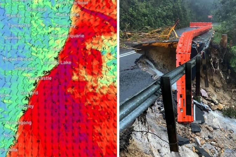
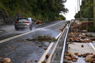
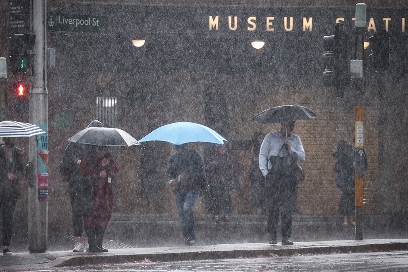
The Bureau of Meteorology has issued warnings for damaging winds, heavy rain and large hail for parts of NSW, with conditions clearing for a warm and sunny long weekend.
There are also further thunderstorm warnings for north-western Victoria and south-eastern Queensland as a broad trough makes its presence felt across eastern Australia for the third day.
In Queensland, the weather bureau said severe thunderstorms are likely to produce damaging winds and large hailstones in Warwick, Toowoomba, Dalby, Gympie, Kingaroy, Goondiwindi and Gatton on Thursday afternoon.
There was a similar warning in Victoria, for the towns of Ouyen, Rainbow, Walpeup, Robinvale, Birchip and Warracknabeal.
Canberra, which has already been wet, is warned to expect possible lightning on Thursday afternoon as storms develop along the southern NSW ranges. The storm risk will linger on Friday and Saturday as well.
Tweet from @BOM_NSW
For NSW, BOM meteorologist Hugh McDowell said widespread rainfall and thunderstorms in inland areas peaked on Wednesday and Thursday and the weather front was moving towards the coast.
Severe thunderstorms hit numerous locations, with hail up to five centimetres in diameter and 85km/h wind gusts in Bourke in the state’s far west.
Walgett in northern NSW had 60 millimetres of rain – double its monthly average for September – in one day, while Canberra got 38 millimetres, or half its September average.
While most communities would get only showers or rain in the next couple of days, some were likely to have more thunderstorms before the weekend, Mr McDowell said.
Friday could bring isolated thunderstorms over central eastern NSW but many locations will be spared storm activity.
“But there will be widespread showers across many parts of the state,” he said.
Tweet from @BOM_NSW
The BOM said people should monitor for changes in their areas over coming days, with warnings remaining for storms, damaging winds, heavy rain and hail.
Conditions should ease as the trough moved offshore, making for a largely nice long weekend.
“We’re looking at dryer and cooler conditions starting to improve from Saturday.
“Sunday looks mostly dry with temperatures above average – even into the 30s – with quite warm conditions developing and that’s going to continue until Monday and potentially Tuesday,” Mr McDowell said.
However, bushfire risks will rise in parts of northern NSW, as low humidity combines with westerly winds.
Residents in those areas are urged to remain alert for warnings from fire services.
-with AAP