‘Get those brollies out’: Heavy rain to bring floods
The weather bureau has issued more flood warnings. Photo: Getty
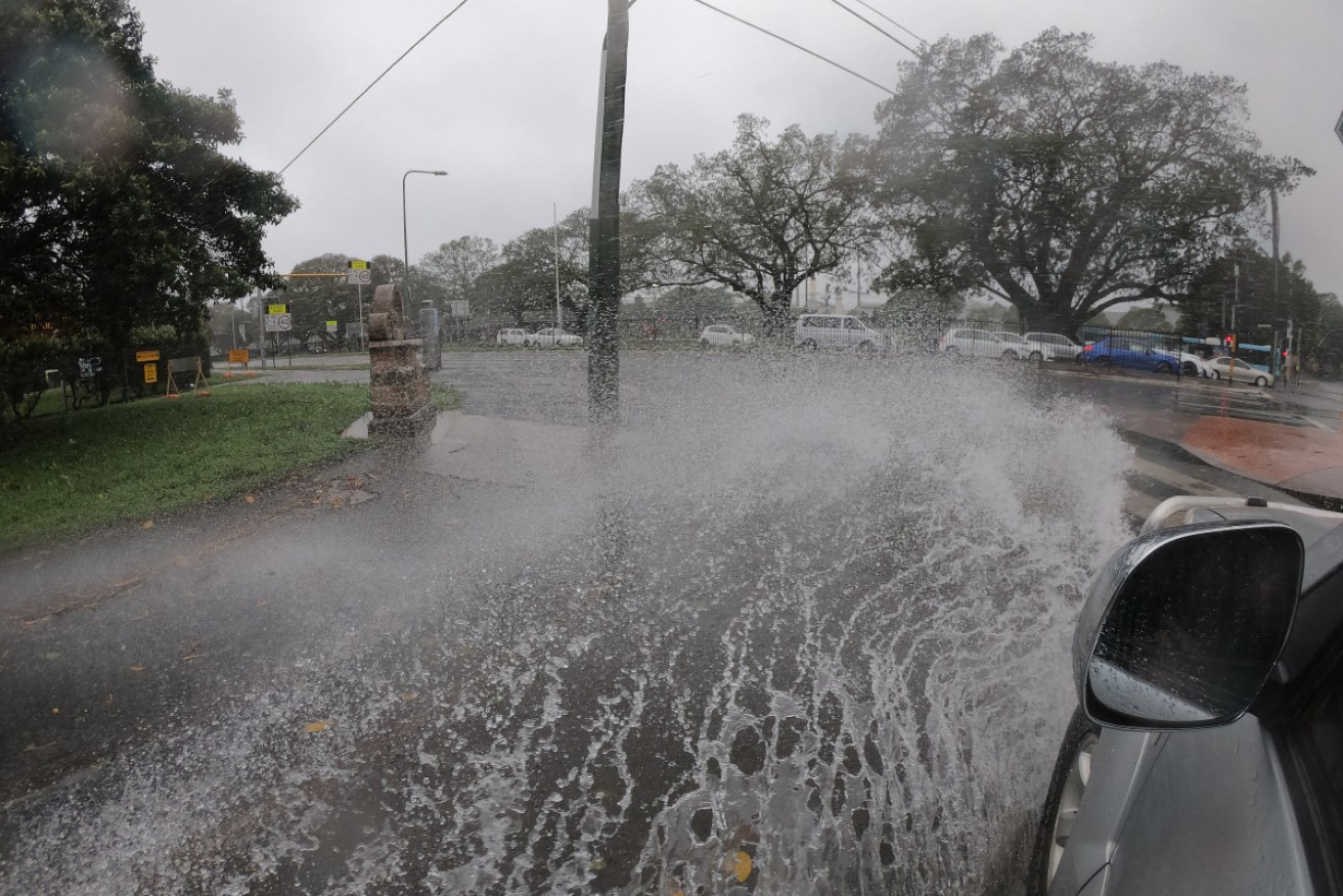
The weather bureau is warning of flooding rain and damaging winds on both sides of Australia this weekend.
In the east, several hundred millimetres of rain is forecast to fall from Friday to Monday in an area from northern NSW to south-east Queensland.
Emergency services have warned anyone planning to travel to the area this weekend to reconsider their plans if conditions worsen.
“I know school holidays have commenced but please be careful – and if it’s flooded, forget it,” Gregory Swindells from NSW State Emergency Services said.
The weather bureau said individual daily totals could top 100 millimetres in some locations, particularly on Saturday, and flooding is likely.
The rain has already started falling, with parts of the NSW mid-north coast getting more than 112 millimetres on Thursday night.
At Stewart’s River, Terry (who did not give his surname), told local ABC radio he had recorded 102 millimetres.
“We were all getting a bit worried. It was very dry and we’re glad it’s rained to get the grass growing,” he said.
“But also the fires. It was pretty scary, it was starting to get a bit firey, this rain’s just fantastic.
“It’s filled our dams up. It’s just been a really good, solid rain.”
Tweet from @QldFES
By early Friday afternoon, the Bureau of Meteorology had issued a severe rain warning for the NSW northern rivers and parts of the mid-north coast.
“That’s for rainfall that’s starting to fall now and will continue to fall into tomorrow morning into Saturday,” BOM manager Jane Golding said.
“In the longer term, this system will move into south-east Queensland over the weekend and develop a bit more, intensify quite a bit more, before moving back into NSW on Monday.”
Tweet from @BOM_Qld
Winds that will increase over the weekend are also expected to bring more problems – particularly along the coast, where they will combine with the highest tides of the year.
“We’re at quite a high part of the tidal cycle, so those waves in
combination with the high tides are looking at potentially producing some inundation of water into some low-lying areas and potentially some coastal erosion up in the north,” Ms Golding said.
In Coffs Harbour, the historic jetty will be closed from Sunday due to the forecast large easterly swell.
Tweet from @BOM_NSW
The wet weather is being driven by a monsoon trough that has developed off Australia’s north-west.
It has already brought widespread rainfall and flooding to northern and central Western Australia. Cygnet Bay in north-west WA had 365.2 millimetres in the four days to 9am Thursday, with more rain expected as another low moved through on Friday.
There was still a chance the second system could become a low-end tropical cyclone before making landfall on Friday, although forecasters predicted it was more likely to cross the coast just below cyclone strength as a tropical low.
However, the fast-moving low pressure system is still likely to pack cyclone-like gale force winds as it blows over the coast. It is forecast to bring up to 200 millimetres more rain to the Kimberley, Pilbara and WA interior by Saturday.
The BOM’s outlook for summer suggests there is still a high likelihood of above-average rainfall for much of the country.


