Warnings for blizzards, avalanche as ‘one-in-15-year’ weather hits
NSW snowfields have been warned about potential blizzards and avalanches. Photo: Twitter/@PerisherResort
Snow is expected across large swathes of ACT and the NSW Central and Southern Tablelands as a deep low-pressure trough batters the state with wild winds and chilly temperatures.
The trough has developed over south-east NSW in the past 24 hours, extending into the Southern Ocean, and is likely to persist until Monday.
On Thursday, the Bureau of Meteorology’s Jane Golding said the system would bring high winds with gusts of more than 90km/h, cold temperatures and snowfall.
At the weekend, snow was expected in Orange, Lithgow, Goulburn, Oberon, Jenolan Caves, the Blue Mountains and the high areas around Bathurst, Ms Golding said.
It is likely to fall to as low as 500 metres above sea level.
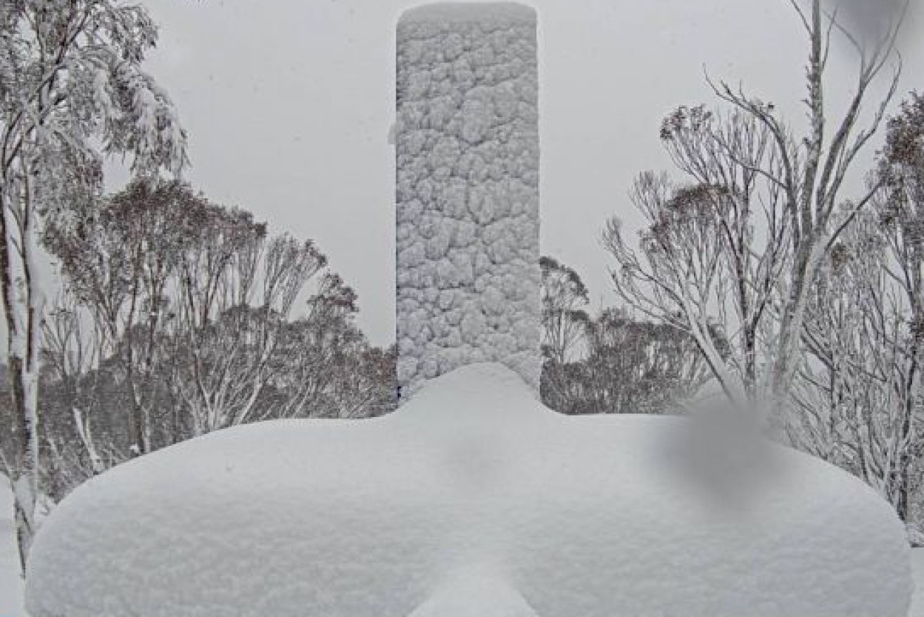
Tweet from @Ben_Domensino
The ACT and Snowy Mountains region might also receive a dusting, and skiers heading to the NSW snowfields have been warned about the potential for blizzards and avalanches.
Ms Golding said it was a one-in-15-year weather event.
“We’ve already seen the start of that with some pretty gusty winds develop over a lot of NSW, those winds kicked up some dust over western NSW,” Ms Golding said.
“Over the next four days those winds are really continuing, some days windier than others.”
Victoria won’t escape the icy blast, with snow down to 500 metres across much of the state. It will also be chilly – with Melbourne forecast to hit a top of only 12 on Saturday, and 11 degrees forecast for many towns in the state’s far east.
It will be even colder in much of NSW. Temperatures will hover around 5 degrees across the NSW Central and Southern Tablelands, although the wind chill will make it feel much chillier.
Ms Golding said the conditions could bring down trees, branches and power lines, and black ice was likely to form on roads. The SES said it had completed 160 jobs in the past 24 hours and had activated snow plans.
SES Commissioner Carlene York said vehicles should be moved under cover, loose items should be secured and residents should stay at least eight metres away from fallen power lines.
“Really think twice about whether you have to go out and drive in this weather,” Ms York said.
Perisher resort tweeted on Wednesday “the storm has settled in!” with 10 centimetres of fresh cover.
Tweet from @PerisherResort
A Transport for NSW spokesman warned the snow could cause road closures and fallen trees but said there would be an effort to maintain access.
There is still a severe weather warning in place for the Hunter, Illawarra and parts of Mid-North Coast, South Coast, Central Tablelands and Southern Tablelands districts.
A woman in her 50s was injured at Gosford on the Central Coast on Wednesday after strong winds caused scaffolding at a building site to collapse on her.
The SES also warned on Thursday that residents at St Georges Basin at Sussex Inlet who had just cleaned up from recent floods could be flooded again by high tides on Thursday.
-AAP
Tweet from @BOM_au


