Rare weather events: Severe storms batter WA, record-breaking cold snap hits Queensland
Residents have been told how to make sandbags as the big blow, like this 2020 storm, bears down on Perth. Photo: Twitter
Thousands of people are waking up without electricity on Monday morning after dangerous storms lashed Western Australia, toppling trees, damaging roofs and bringing down power lines.
Residents have been warned to stay away from windows as a rare weather event is expected to batter large parts of the state for a second day.
On Sunday, remnants of ex-tropical cyclone Mangga whipped up heavy rain, massive waves and wind gusts of more than 100 kilometres per hour.
The wild weather shows no sign of letting up, with peak wave heights of more than eight metres predicted for the southwest Margaret River on Monday.
That’s good news for a handful of elite big-wave surfers who have been keeping an eye on the radar in a hope the storm would whip up extraordinary swells around Margaret River.

WA residents were told to stay out of the water – but that didn’t stop some surfers looking for waves near Fremantle on Sunday. Photo: AAP
For the rest of the population, however, the message has been clear: stay out of the water.
Residents have been told to steer clear of beaches and coastal tracks all-together, as the severe storm is expected to cause significant erosion.
Abnormally high tides are also predicted on Monday.

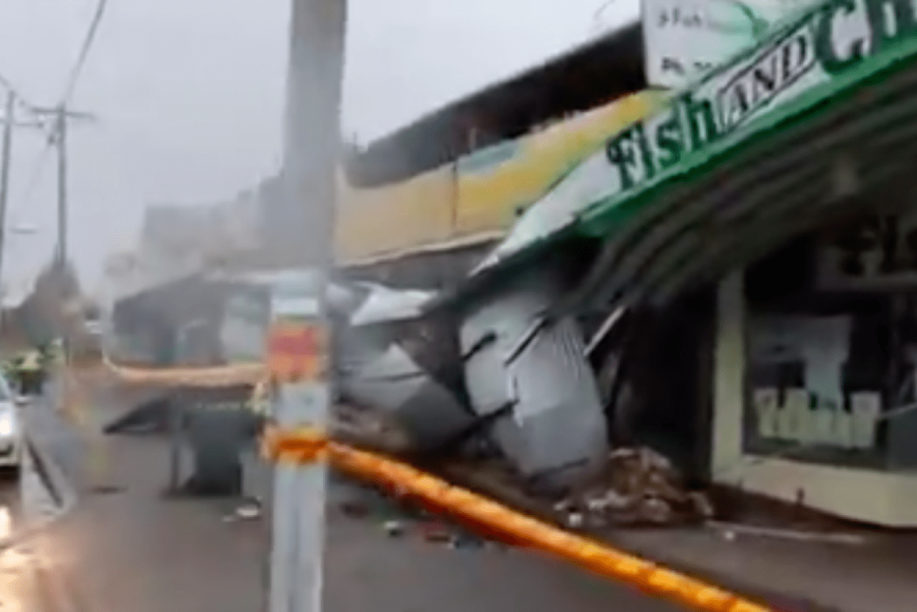
A home in the Geraldton suburb of Waggrakine was severely damaged in the storm. Photo: ABC
Across Perth and the Mid West, there were reports of damage to buildings, homes, fences, electricity infrastructure and trees.
The power outage affected 44,000 homes and businesses in Perth and 13,000 properties in WA’s Mid West region.
The State Emergency Service was busy responding to more than 300 calls for help from residents across the west coast.
Tweet from @BedfordAWS
The Bureau of Meteorology has in place severe weather warnings for destructive winds averaging 80 to 90 km/h with peak gusts of around 130 km/h.
The bureau said it is a “rare event” because so many areas of the state are being affected.
“A similar event to this one occurred in June 2012, which led to over 600 calls for assistance and over 170,000 homes losing power,” a spokesperson said.
Motorists are warned to watch for hazards and to not drive into water of unknown depth and current.

A tree branch fell on a car in Geraldton, with its passengers narrowly escaping injury. Photo: ABC
Residents have been told to unplug electrical appliances and avoid using landline phones if there is lightning.
Winds won’t ease until Monday afternoon.
Cold snap hits Queensland
Meanwhile, Brisbane recorded its lowest daytime May temperature in almost a century after the city reached 15.1 degrees on Saturday – not far off the 15 degrees lowest recorded in 1922.
The lower-than-average temperatures will continue for a few days, although it will be a “touch warmer” than on the weekend, the weather bureau’s Kimba Wong said.
Much of Queensland was affected by the weekend’s record-breaking cold snap, which was caused by a thick cloud band over eastern parts of the state, combined with a cold air mass moving in from the south.
Ms Wong says records for the lowest maximum May temperature were broken in more than 20 locations across the state.
One of the lowest maximum temperatures recorded in the state was 11.5 degrees in Charters Towers.
With cold temperatures and clear sky to continue over the next few days frost is likely, especially in southern and central inland parts of the state.
“This is early in the season,” Ms Wong said.
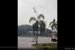
NSW rocked by dangerous surf conditions
Strong southerly winds along the NSW coast caused Sunday’s dangerous surf conditions from Byron Bay in the north to Eden in the state’s far south.
Thrill-seekers took advantage of the waves which exceeded five metres in the surf zone on Sunday.

Large swells along the NSW coast. Photo: Facebook
The waves likely won’t decrease in size until Monday afternoon or evening.
In the meantime, the bureau is warning of dangerous surf conditions for exposed coastal areas of the Illawarra, Sydney Metropolitan, Hunter and Mid North Coast districts.
-with AAP

Musk mobilises US ‘patriots’ against Australia