Icy winter blast gives ski resorts plenty of reasons to hope
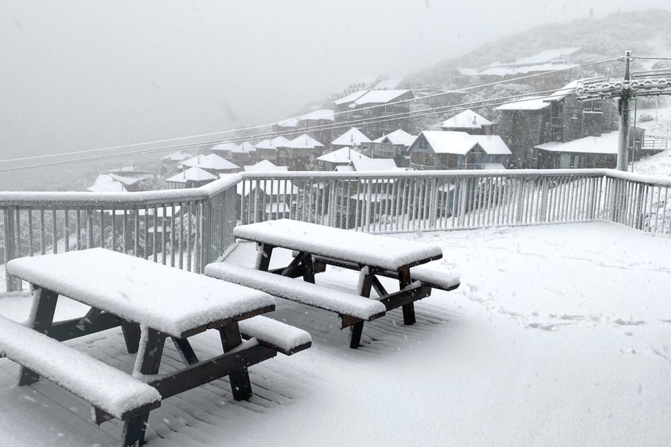
Mount Hotham under a blanket of early snow on Thursday morning. Photo: Twitter
Snow fell across the Victorian high country on Thursday as a wet and windy cold snap swept across Australia’s south-east.
Skifields reported up to 10 centimetres of early snow from the first day of the icy blast, while regional centres such as Wodonga had up to 100 millimetres of rain.
Chris Arvier from the Bureau of Meteorology said there was moderate to minor flooding in Victoria’s north-east, including the Goulburn and Kiewa rivers, with no end to the rain in sight.
Melburnians were told to brace for thunderstorms and hail on Thursday afternoon.
The Melbourne CBD had 24 millimetres of rain overnight, while eastern and south-eastern suburbs got close to 40 millimetres.
The city has had 138.4 millimetres of rain for the month, making it the wettest April since 1960.
Mr Arvier said Friday would bring more heavy showers and a top of just 12 degrees.
There are also severe weather warnings, with possibly damaging winds of up to 100km/h, for coastal areas and the alpine region. The Mornington Peninsula is expected to experience some of the stronger gusts.
Elsewhere, Falls Creek and Mount Buller had temperatures below zero, Mr Arvier said.
Falls Creek had had 183 millimetres of rain in 48 hours, Mount Buffalo 145 millimetres and Kiewa River 140 millimetres.
Ski resorts are still looking optimistically towards a 2020 season, despite coronavirus restrictions – and the April snow gave them extra hope.
It is expected to cease by late Saturday, but Victoria will get no relief from the cold snap until Tuesday.
Tweet from @Ashlee_Aldridge
Tweet from @mtbuller
Australia’s ski season traditionally starts on the Queen’s Birthday long weekend in June. Falls Creek and Mount Buller are preparing for a June 6 opening.
Australian Ski Areas Association chief executive Colin Hackworth said the 2020 season would go ahead only if it fitted within COVID-19 rules.
“I am sure we are going to have snow, but we need to make sure we come up with a plan to make sure we can ski on it,” he said.
“Any season we have will only proceed with the blessing of government and health authorities.”
- See a live shot from Mount Hotham here
Icy snap heads for NSW
NSW is set for an “incredibly cold” end to the working week with rain, thunderstorms and damaging winds on the way.
The Bureau of Meteorology expects maximum temperatures to drop into the single digits and mid-teens on Friday, with gusty westerly winds exacerbating the chill.
Senior forecaster Gabrielle Woodhouse said a rain band stretching from the north-west to the south-east of NSW would move further east on Thursday.
“Behind that, we’re seeing more showers and more thunderstorm activity as the cold front moves through,” Ms Woodhouse said in a video shared by the weather bureau on Wednesday.
Tweet from @weatherzone
Cold weather a danger to lambs, sheep
The bureau has also warned that lambs and sheep could die in southern Queensland when the brutal cold snap hits there.
The BOM said graziers on the Darling Downs and Granite Belt could lose animals as a huge mass of cold air closed in.
Temperatures will drop from Thursday afternoon, when there is also a possibility of a severe thunderstorm in Brisbane.
But it is overnight minimums that have the bureau most worried.
At Stanthorpe, on the Southern Downs, the minimum temperature will hit 3 degrees on Friday, before plunging to -2 on Sunday and Monday.
Brisbane is forecast to have a minimum on Friday of 14 degrees, followed by 9 on Saturday and Sunday.
-with AAP


