Cyclone Esther brings new warnings to drenched Queensland
One person was rescued near Mackay after their car became almost completely submerged. Photo: ABC
Tropical Cyclone Esther is moving towards the Australian mainland on the Queensland-Northern Territory border, bringing heavy rain and gale force winds.
The weather bureau said the category one system was expected to cross the border on Monday afternoon.
It will head west into the Northern Territory once it makes landfall and becomes a rain depression.
Gale force winds of up to 110km/h are already affecting areas along the coastline of the Gulf of Carpenteria.
These winds are expected to affect the area from Port McArthur in the NT to Burketown on the Queensland side of the border.
Mornington Island is also affected.
NTES incident controller Superintendent Daniel Shean said residents in the cyclone’s path were prepared.
“The yards have all been cleaned up, any loose items around the community has been tidied up, they’re all aware of where they’re going to shelter today,” he told the ABC.
“It’s a community in waiting and a community that’s ready for the cyclone to track past.”
Tweet from @BOM_NT
People living between the Queensland-NT border and Burketown, including Mornington and Sweers Islands and Doomadgee have been told to remain inside until the cyclone passes.
There is also a severe weather warning in place from Karumba to the north of Pormpuraaw.
Abnormally high tides are expected about the south-western Gulf of Carpentaria coast in coming days. They might also produce minor flooding in low-lying coastal areas.
The slow-moving system is expected to weaken as it moves toward the central Northern Territory before possibly affecting Western Australia later in the week.
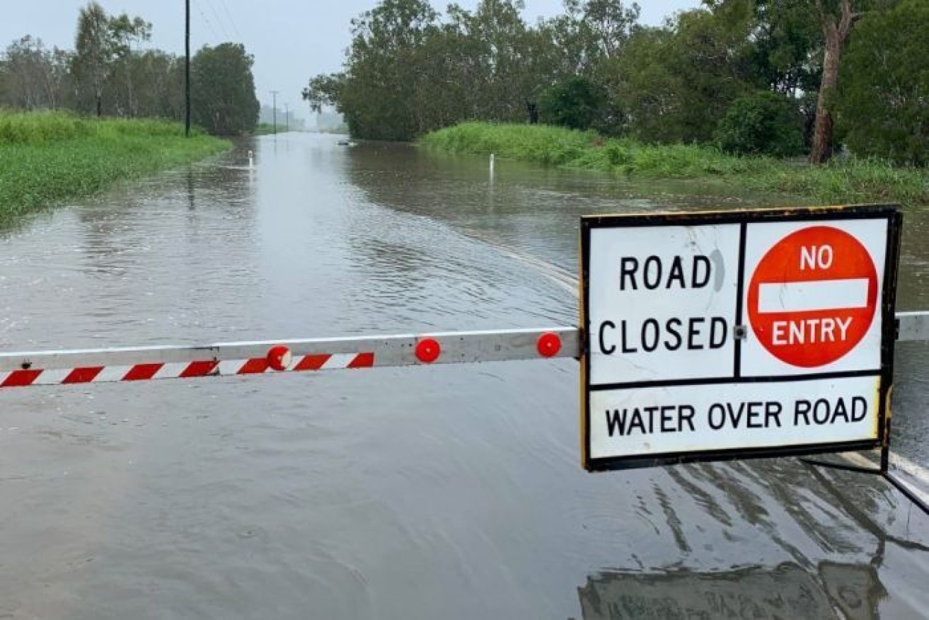
Elsewhere in Queensland, heavy rain at the weekend led to several swift-water rescues.
One person was rescued from their car after driving into floodwaters at North Eton, near Mackay, just before 9am on Monday.The car remains completely submerged.
Monday’s incident followed the weekend rescue of four people in the Mackay region.
Police said a man and woman became stuck about 1am on Monday when their car stalled in floodwaters at Windmill Crossing in Mount Pleasant.
On Saturday night, two people were rescued by swift water crews after their car was swept away at West Plane Creek Road near Sarina.
Figures from the Bureau of Meteorology showed parts of the Pioneer Valley in the Mackay region had up to 160 millimetres of rain over 24 hours.
The rain was moving south, with the bureau issuing a warning early on Monday afternoon for heavy rain on the Sunshine Coast.
Tweet from @BOM_Qld
There is also a flood warning for parts of Queensland’s south-west after the weekend rain.
Flooding along the Maranoa and Balonne Rivers had started on Monday morning, with the town of St George expected to be hit by rising waters by evening.
Tweet from @QldPolice
The Bureau of Meteorology said flood levels on the Balonne River could exceed 10 metres.
Several towns in the state’s south-west were also flooded at the weekend.
In the Maranoa region there was major flooding around Surat and Weribone. Waters were receding on Monday morning.
-with AAP


