Beaches closed as looming cyclone brings danger to Queensland

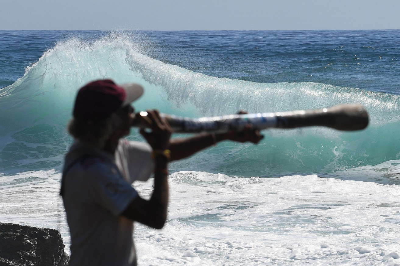
Didgeridoo player Russell Corowa is dwarfed by waves at Snapper Rocks on the Gold Coast on Tuesday. Photo: AAP
Severe Tropical Cyclone Oma is expected to bring more dangerous surf conditions and abnormally high tides as it moves closer to the southern Queensland coast, the weather bureau warns.
The category two weather system was about 1100 kilometres north-east of Brisbane on Wednesday morning, and moving slowly towards Australia.
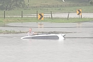
Beaches on the Gold Coast have already been closed this week, with people urged not to enter the water. A strong tide created by the impending cyclone has brought waves of up to three metres and led to some coastal streets being inundated.
On Tuesday, the king tide north of Mackay caused some erosion at Midge Point, and the Pioneer River to flow into the nearby carpark.
Oma was briefly upgraded to a category three storm on Tuesday, before being downgraded to a two on Tuesday afternoon.
It is still expected to bring dangerous conditions that will spread south as the cyclone nears the Queensland coast.

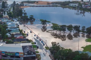
Flooding on the Gold Coast on Wednesday. Photo: AAP
On the Sunshine Coast, Mooloolaba’s fishing fleet has largely returned home ahead of Oma’s arrival.
Mooloolah River Fisheries general manager Daryn Logan told the ABC that only bigger boats were still at sea. They were expected home within a day.
“At the moment it’s totally unpredictable,” he said.
The Bureau of Meteorology said Cyclone Oma changed direction overnight on Tuesday, and was no longer expected to turn south-east towards New Zealand.
BoM forecaster Adam Blazak said there was still some disagreement about which path the storm would take, but that there was a possibility it could make landfall.
“A crossing is not certain yet, and there are scenarios where it may linger off the coast,” he said.
If Oma continued on its current path, it might bring daily rainfall totals of up to 300 millimetres to some coastal areas.
BoM forecaster Sam Campbell told the ABC that Oma might cross the Queensland coastline anywhere from Rockhampton south.
“Anywhere south of there right down to Brisbane really is potentially in play for a cyclone crossing if that was to occur,” he said.
“I’ve got to emphasise it will come near the coast and not necessarily cross the coast – but it is possible it could cross the coast.”

Cyclone Oma’s predicted path towards Queensland. Photo: Fiji Meteorological Service
The weather bureau said it expected Cyclone Oma to enter Australia’s eastern cyclone region early on Thursday. It was likely to keep moving slowly south-west towards the end of the week and over the weekend, bringing dangerous surf and high tides to the southern Queensland and far northern NSW coasts from Wednesday.
Mr Blazak said the weather system could also potentially bring much-needed rain to drought-affected inland areas in Queensland’s south-east.
“You don’t really want a crossing,” he said. “But that would be maybe a better scenario than if it lingers off the coast.
“It would end up decaying and dropping rainfall in those dry areas.”
A severe weather warning remains in place from the Fraser Coast to the NSW border.
In a final irony for Queensland residents already feeling battered by the weather, the BoM says Oma developed from a tropical low embedded in the monsoon trough that generated the recent devastating floods in and around Townsville.
-with AAP
