Australia braces for heat, fire, a cyclone and, oh yeah, jellyfish too

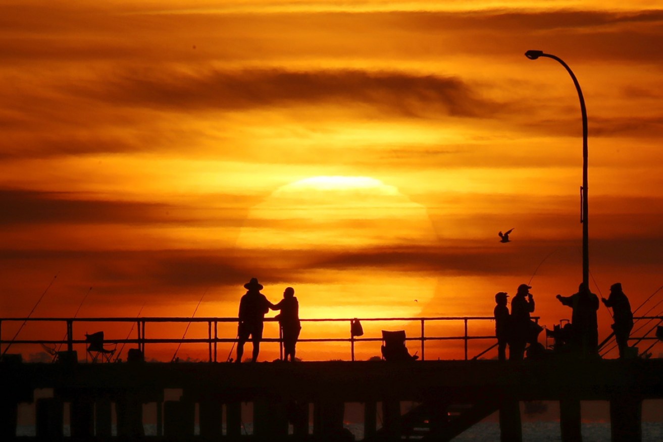
Sunrise at Altona Pier, in Melbourne's west, on Thursday. Photo: AAP
The turkeys were roasted at Christmas, now it’s the rest of Australia’s turn to suffer through oven-like conditions as a weather system forming over the east coast turns up the thermostat.
And if the prospect of searing days and sweaty, sleepless nights were not enough, there’s a also a possible cyclone to keep Top Enders anxious.
And just to put an extra sting into the mercury, a plague of the world’s nastiest and potentially deadly jellyfish too.
Authorities say rain and hot weather up north means a boom in the deadly irukandji jellyfish.
Two teenagers, a boy and girl, were airlifted to Hervey Bay hospital with stings off Fraser Island in Queensland on Friday afternoon.
Two other people in their group with suspected stings were treated at the scene.
In outback NSW, Broken Hill is forecast to hit 43 degrees on Saturday – a sweaty maximum that will be followed by days of unrelenting heat in the high 30s and low-to-mid 40s.
A few hours drive to the south through country that can barely remember what rain looks like, the Victorian border town of Mildura is set for 39 degrees on Saturday.
With predicted temperatures of around 40 degrees marking the rest of the week, that extended torrid spell will be a vindaloo-hot taste of what Mother Nature is about to unleash on much of the rest of the country over the days ahead.
In South Australia, the parched mid-north district was rated as being at catastrophic risk of fire on Friday, while the state’s north-west and north-east pastoral districts, Flinders district and Eyre Peninsula were at extreme risk.
Predicted temperatures for Adelaide over the week ahead will be more moderate – in the low- to mid-30s – but still well outside the comfort zone.
The coming weather leaves little chance of the danger warnings creeping back from the catastrophic red zone.
“For some areas, we’re going to see a week or more of 45-degree-plus temperatures and that hasn’t ever happened before,” said Sky News senior meteorologist Tristan Meyers, who blamed the hot spell on a “special” high-pressure system brewing off Australia’s east coast.
If the high-pressure system dawdles over the Tasman, as forecasters expect, records will fall faster than the first-innings wickets of Australia’s cricketers at the MCG.
“For some areas, we’re going to see a week or more of 45-degree-plus temperatures and that hasn’t ever happened before,” Mr Meyers said.
“This is not only due to how hot individual days are going to be – for example, 45, 46, and potentially 47 degrees in parts of western, southern NSW, northern Victoria and South Australia – but also how prolonged it’s going to be.”
As the coming days’ soaring mercury challenges records, the threat of catastrophic fires loom large.
With little rain in the forecast, Weatherzone has warned of extreme danger in Victoria’s Mallee and Wimmera districts and the grim possibility of even more intense fire weather in the first week of 2019.
“These dangerous fire conditions are a result of temperatures hovering in the low-to-mid 40s, with sustained winds of 40-50km/h and relative humidities in the single digits,” it said.
Melbourne was waiting for rain to wash away some of the heat on Friday night, to be followed by days in the mid-20s before the temperatures build again at the end of the week.
A very hot day across #SouthAustralia yesterday with the #Heatwave. Hottest EVER December day in Whyalla (46.8°C), Kent Town (43.7°C), Edinburgh (43.9°C), Roseworthy (45.2°C), Nuritoopa (42.2°C), Yunta (43.6°C) and Gluepot (45.1°C). pic.twitter.com/uwK9C36dxD
— Bureau of Meteorology, South Australia (@BOM_SA) December 28, 2018
Meanwhile, while their southern cousins swelter, Queenslanders have been warned to brace for a possible cyclone.
The Bureau of Meteorology is keeping a watchful eye on an “unstable” monsoon trough to Australia’s north. If it develops into a full-fledged tropical low, a cyclone watch would go into effect for the Cape York Peninsula, possibly as early as Saturday morning.
“It’s all about to ramp again with the monsoon trough coming down over the peninsula and tropical lows developing over the next couple of days,” meteorologist Gordon Banks said.
#Cairns had 147mm of rain to 9am this morning and has now had 636mm so far this month. That makes it Cairns's wettest December since 1975. #Cooktown has also had its wettest December since 1975 and #Innisfail has had its wettest December since 1950. #WetTropics #BigWet pic.twitter.com/Jrz3c19mJk
— Bureau of Meteorology, Queensland (@BOM_Qld) December 27, 2018
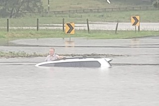
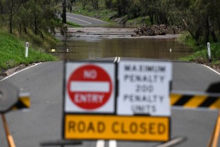
Parts of far north Queensland have already endured their wettest December on record following a drenching week of torrential rain.
“There has been considerable weather up on the north tropical coast and into the peninsula district over the past few days, with some very heavy rainfall and some moderate to major flooding,” Mr Banks said.
A 34-year-old woman is missing north of Cairns, after walking into fast-flowing Wallaby Creek at Rossville about 6pm on Thursday.

The Irukandji jellyfish is tiny and potentially lethal. Photo: AAP
Authorities started searching for her on Friday after friends reported her missing. The search was expected to resume on Saturday morning.
One of the world’s most toxic creatures, irukandji jellyfish prefer calm waters and tend to stay away during heavy rainfall.
But the risk of stings soar once rain stops, professor of toxicology Jamie Seymour said.
“All this rain, it’ll fire all jellyfish up,” Professor Seymour said.
Queensland recorded almost 20 irukandji stings in 2018, including four off Fraser Island, Professor Seymour said.
“It is above average. In Cairns, we’ve had at least seven stings. This time last year, we had one,” he said.
-with AAP
