Eastern states battered by more wild weather as a cyclone and floods hit

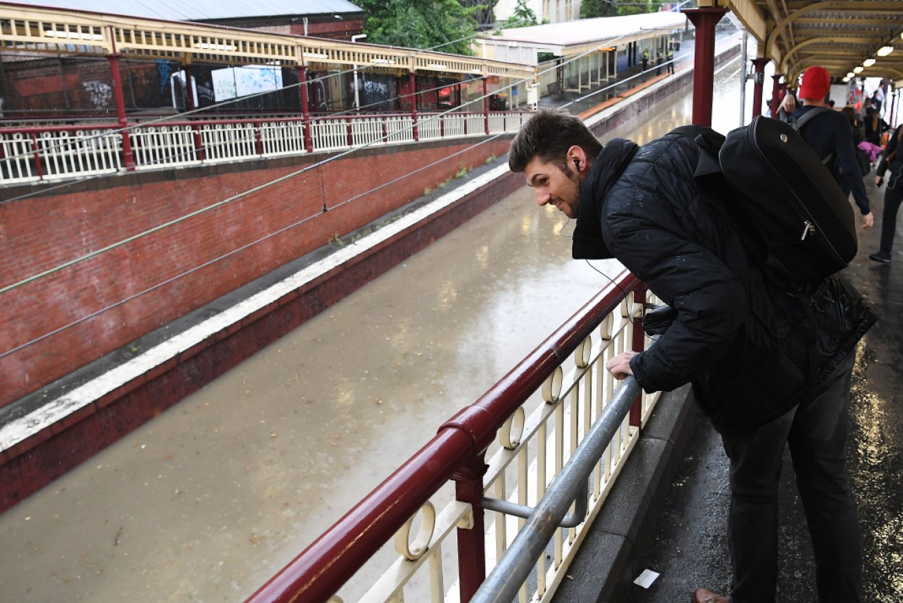
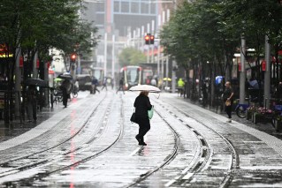
A lone commuter inspects the flooded railway tracks at South Yarra railway station on Friday afternoon. Photo: AAP
As Cyclone Owen made landfall and was downgraded to a category 2 storm over Queensland’s west coast, cities and towns across eastern Australia were hit by their own flooding and chaos.
And there’s more to come with weather warnings issued for more heavy rain and flash flooding across parts of NSW and Victoria over the weekend.
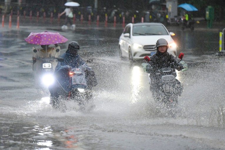
On Friday afternoon in Melbourne, where a late afternoon storm dumped 37.2 millimetres of rain in just 60 minutes, roads flooded and a Paul Kelly concert at the Sidney Myer Music Bowl came to a soggy halt.
Fans found themselves ankle-deep in water as speakers tumbled and the capacity crowd was soaked to the skin.
https://twitter.com/Meaghan_Holden1/status/1073492277778014208
In the 24 hours from 7am on Friday the SES received 693 requests for assistance across Victoria, with 123 of those calls from the Malvern area.
Most calls were about flooding or building damage. Other areas badly affected included Bacchus Marsh, Port Phillip, Wyndham and Hobsons Bay. Richmond and Hawthorn in the city’s inner-east were the hardest hit by the downpour.
Don’t forget your jacket!
(Old mate falls victim to the notorious Dudley Street underpass and Melbourne’s torrential downpour)… also don’t drive through floodwater! @9NewsMelb @9NewsAUS #melbweather #vicfloods pic.twitter.com/hLGbTlgttq— Tom Kelly (@tpwkelly) December 14, 2018
The flooding also affected trains and trams, particularly services to the east and north-east of the city, further tormenting sodden commuters who had sometimes waded knee-deep through city streets that looked more like rivers.
Swan St or should it be Swan River?#melbourneweather #flood #melbournesummer pic.twitter.com/MGS5v6fB6e
— Victoria García (@victoriajtran) December 14, 2018
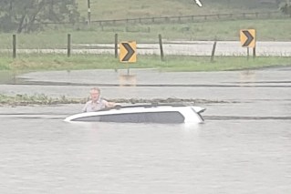
Friday’s storm came after 17 drivers had to be winched to safety after becoming trapped in their vehicles and 120 people rescued on the Hume Freeway in Victoria after flooding in northern Victoria on Thursday afternoon.
SES spokeswoman Susan Davie said it wasn’t clear how those people got trapped, but said it would be a combination of some driving into flood water and others who would have got stuck in the flash flood.
“We just want to remind people to never drive through flood waters, it’s hard to assess the depth of the water,” she said.
The Bureau of Meteorology issued a severe thunderstorms warning early on Saturday morning and warned rainfall that could lead to flash flooding areas including Warrnambool, Bendigo, Shepparton, Seymour, Geelong, Melbourne and Wangaratta.
Despite the rain, Melbourne can expect a humid top of 27 on Saturday.
The whole state is likely to get lashed with other thunderstorm cells over the weekend.
“It’s got to do with the very humid atmosphere we’ve got,” senior forecaster Dean Steward said.
Brett Goodwin’s property in Tarrawingee, near Wangaratta, was inundated with 168 millimetres of rain in just five hours on Friday.
“The water went on for kilometres in an area which is normally dry grazing pastureland. It had turned into a swamp and one of my neighbours lost six kilometres of fencing,” he said.
“We’ve never seen anything like this.”
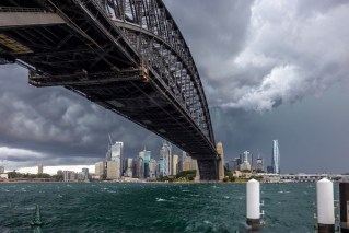
Sydney was a little luckier on Friday – but not by much.
“Giant hail stones, heavy rainfall and damaging winds are likely with these [super] cells,” BoM NSW warned in a Twitter post before the skies opened.
Grim as that warning was, it turned out to be almost an understatement.
M1 PACIFIC MWY: Take extreme care on the mwy btwn Sydney and the Central Coast as a severe thunderstorm moves through the area. pic.twitter.com/hrss1eObK0
— Live Traffic Sydney (@LiveTrafficSyd) December 14, 2018
The severe afternoon thunderstorm saw frustrated travellers coping as best they could with delays and confusion as flights were cancelled and tempers frayed.
Traffic cameras monitoring the M1 Pacific Motorway were all but blinded by the torrential rain, making it almost impossible to make out the shape of crawling cars and trucks.
Owen’s fury
Meanwhile, communities in sparsely populated northern Queensland breathed a sigh of relief on Saturday morning as cyclone warnings were cancelled when Owen made landfall.
On Friday afternoon, it had reversed course and headed back to Queensland, drawing strength with every additional hour that Owen’s meandering eye lingered over the 32-degree tropical waters.
What started as a category 3 weather system when it was approaching the Northern Territory on Thursday, the Bureau of Meteorology predicted a full-blown category 4 with gusts of up to 280 km/h when it began its assault on Cape York.
By Saturday, Northern Territory emergency services reported they had escaped serious damage despite warnings of flash flooding around islands and coastal areas with falls of up to 200mm with a strong storm tide and damaging waves.
SES crews, local police and weather forecasters “went without sleep” overnight on Friday but all agreed the best outcome was that Owen was expected to turn into a tropical low by Saturday night.
Kowanyama residents were among small isolated communities that missed the brunt of Owen, which crossed the southeast Gulf of Carpentaria coast between the 1000-strong community and the Gilbert River Mouth.
“Everything’s still intact. I’m pretty happy,” mayor Michael Yam told AAP.
“It was a bit scary when it was heading straight towards as a category 3, but everything’s back to normal. I thought we’d get a bit more rain out of it.
“But we’re always well prepared. My community takes it very seriously.”
The cyclone warning encompassed a huge swathe of territory, from Port McArthur in the Northern Territory to Aurukun in Queensland. The affected area includes Mornington Island, Karumba, Kowanyama and Porpuraaw.
Cairns and Townsville are expecting between 100mm to 150mm of rain on Saturday.
Queensland Fire and Emergency Services (QFES) warned residents on Saturday to check with authorities before leaving shelters or returning home.
“There is likely to be a number of hazards including fallen trees, power lines, debris and even possible structural damage to infrastructure and it is vital people do not go sightseeing and avoid damaged buildings,” QFES assistant commissioner Kevin Walsh said.
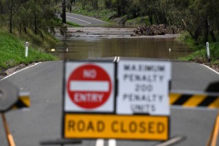
“As the severe weather passes and people begin to leave their homes, we’re asking everyone to pay attention to traffic signs and road closures, so you don’t become stranded across a flooded road.”
#TCOwen may have been downgraded to a category 2 cyclone after crossing the coast, but it still poses a significant threat to communities in its path. A cyclone warning is now current for inland areas between Karumba and Pormpuraaw, including Kowanyama, Croydon and Palmerville. pic.twitter.com/1AoaS2UQiX
— Qld Fire & Emergency (@QldFES) December 14, 2018
Bureau of Meteorology extreme weather desk senior meteorologist Dean Sgarbossa told The New Daily on Friday Cyclone Owen was expected to track east and south east before making a coastal crossing over the south west coast of Queensland’s Cape York.
While there was uncertainty about the storm cell beyond Sunday, the “slow moving” storm is expected to only exacerbate rainfall totals, Mr Sgarbossa warned.
-with agencies
