Early season records to tumble as heatwave looms
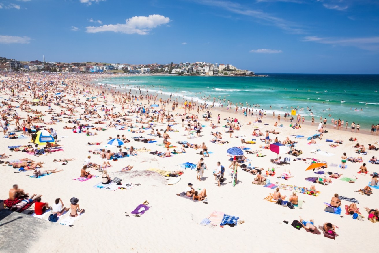
Pack your beach bag - the weather is heating up. Photo: Getty Photo: Getty
Parts of Victoria, South Australia and New South Wales are set to swelter through record-breaking temperatures this week, according to the Bureau of Meteorology.
The temperature in Melbourne could hit 34 degrees on Thursday – 11 degrees over the average November maximum.
Adelaide, meanwhile, is set to reach 36 degrees, which is 12 degrees over the average.
On Friday, Sydneysiders could be facing a 37 degrees day, which is 13 degrees over the average.
Jenny Sturrock, senior forecaster with the Bureau of Meteorology, says these temperatures will set “early season records” tumbling.
“Temperatures are generally looking [to be] that six to 10 degrees above average for this air mass,” she said.
Hot streak part of record run
A series of early season records have already been broken in Queensland and the Northern Territory, and more are set to go.
In New South Wales on Thursday early season records have been forecast to be broken in Cooma Airport 31 degrees, Gundagai 37 degrees, Wagga Wagga 37 degrees, Young 36 degrees, Narrandera Airport 39 degrees, Forbes Airport 38 degrees, Orange Airport 29 degrees, as well as Canberra Airport 33 degrees.
Overnight on Thursday early season night time records are forecast to be topped in the Lower Western, Riverina, South West Slopes and Plains, and the Central West Slopes and Plains districts.
On Friday more records are expected to be broken in with 32 degrees forecast for Moss Vale, 37 degrees at Sydney Airport, 37 degrees for Parramatta North, and 38 degrees in Penrith.
Early-season records could also fall in the Sydney Basin, the Central Coast, the Hunter Valley, and the Mid-North Coast.

In Victoria, the north-west will face the highest temperatures, with 41 degrees forecast in Mildura and 40 degrees in Ouyen.
Meanwhile Birchip, Warracknabeal and Echuca are all expected to reach 39 degrees, with the heat slowly easing in the state’s south and east.
“You could call it the unofficial start to summer,” senior forecaster Richard Carlyon said.
The north of South Australia will face the brunt of the high temperatures, but maximums in the high 30s are forecast for many areas on Thursday.
Temperatures are also expected to be above average in Tasmania.
Is it a heatwave?
For an event to qualify as a heatwave it needs at least three days of maximum and minimum temperatures that are unusually high for that location at that time of year.
Ms Sturrock said throughout Queensland temperatures in the low 40s were recorded over a number of days last week.
The Top End has also had heatwave conditions, and some parts of the south-east are expected to meet this criteria – just – over the next few days.

Forecasters prefer to call this week’s weather as a heat ‘pulse’. Photo: Getty
“It is only low-intensity heatwave conditions that are expected over south-eastern parts of the country,” Ms Sturrock said.
“The main focus is through New South Wales.”
But it might be better to describe what Victoria is facing as a heat ‘pulse’ rather than a ‘wave’.
“So Victoria, whilst it will see warm conditions, it’s only really a day of warm conditions, so it doesn’t qualify for our heatwave,” Ms Sturrock said.
Where has the heat come from?
Ms Sturrock said that this hot air mass has been driven by air being recirculated around a broad area of low pressure that has been stagnant for the past week.
This has allowed the temperature to build, without any moist ocean air mixing in and cooling things down.
“Also, in conjunction with that, if we look into the upper levels of the atmosphere, we’ve got what’s known as an upper level ridge,” Ms Sturrock said.
“That’s basically allowing the air to sink down nice and gently on top.
“What’s forecast to occur is that hot air mass over the northern parts of the country will be dragged south over parts of South Australia, New South Wales and Victoria, and also even affecting parts of Tasmania during the second half of this week.”
But Ms Sturrock said the heat will be flushed out over the weekend as a cold front moves through from Friday, cooling as it moves across from west to east.
“Unfortunately though the cold front doesn’t sweep through into central and northern parts of the country,” she said.
“So we are still looking to see warmer temperatures – particularly over northern parts of WA – continue, and also through central parts, where the NT, SA and Queensland border meet.”
Victoria isn’t off the hook
The CFA’s Mildura operations officer, Rob McNally, said crews will be on “hot day response”.
“We’ll have five tankers and a forward control vehicles to every incident,” Mr McNally said.
With harvesting taking place across Victoria, Mr McNally is urging people to use common sense.
“There will be some dust and things in the air, so please take special care and be aware of your surroundings,” he said.
In the meantime, 43 of Forest Fire Management Victoria’s newest recruits have taken part in training drills in Mildura this week on areas including fire suppression, planned burns and survival techniques.
Loddon Mallee Regional Training Coordinator Travis Storer said the service is not taking any chances.
“We started some firefighters earlier than usual in October due to the dry conditions and expected earlier start to the fire season,” he said.
A sign of what is to come?
The outlook for the coming months forecasts largely warm and dry conditions.
This is thanks to a strong chance of an El Niño — the phase of Pacific circulation associated with warm and dry conditions for the east of Australia — as well as a positive Indian Ocean Dipole, which is the phase of circulation over the Indian Ocean also associated with dry conditions in Australia.
“Both of those circulation drivers are going to combine to see the increased likelihood of the dry and warm end to the [winter] wet season,” Ms Sturrock said.


