Bushfires, cyclones and rainfall: What Australians can expect this summer

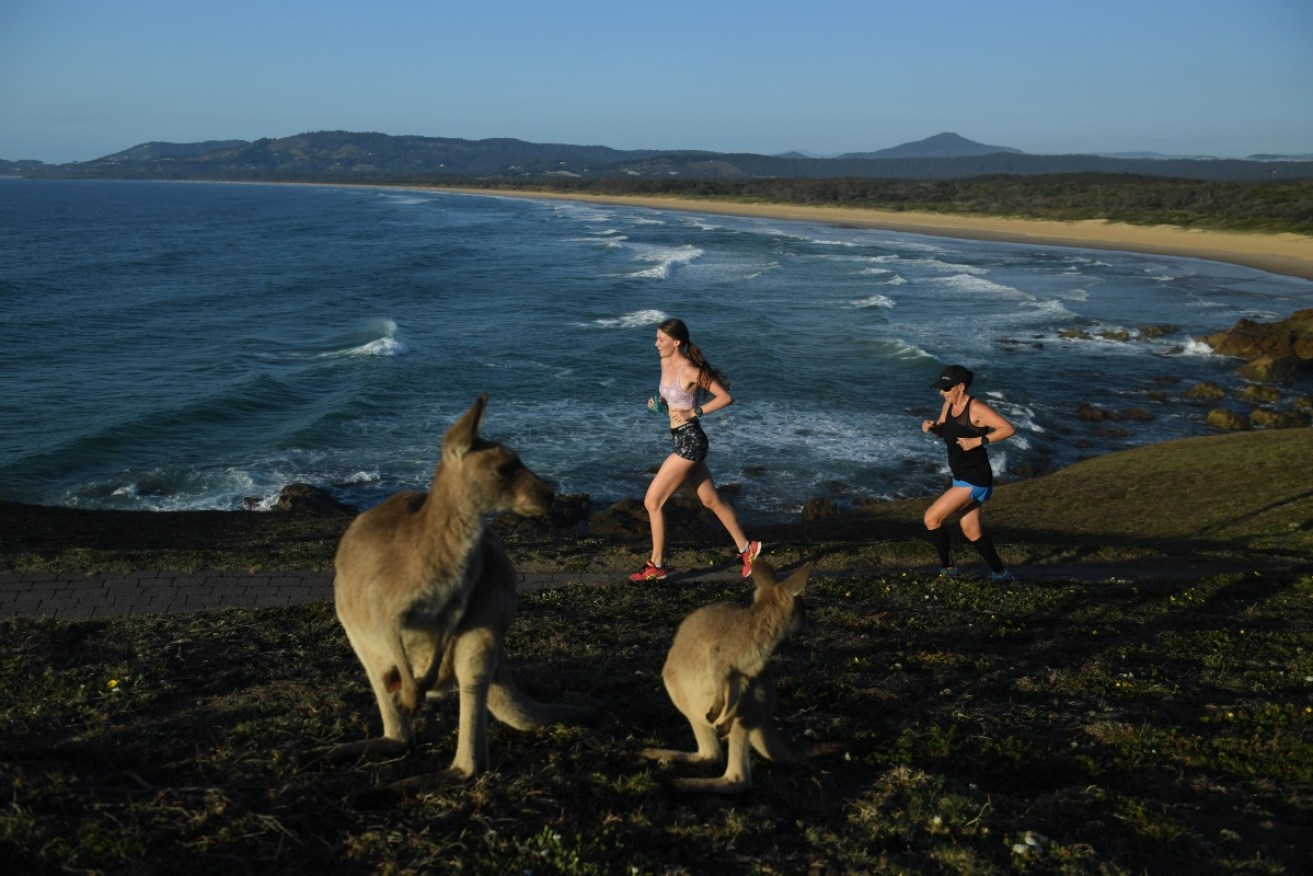
The Australian Bureau of Meteorology is cautiously optimistic for a less than severe summer season. Photo: AAP
After a record-breaking year of hurricanes and tropical storms pummelling the United States, Puerto Rico, the Caribbean and vast swathes of south Asia, Australians are set to see out a quieter summer season.
With the tropical cyclone season kicking off at the start of November and the bushfire season looming, the Australian Bureau of Meteorology has given a cautiously optimistic outlook ahead of the typically more severe weather months.
La Nina warning for later months, but weak impacts
The Australian weather authority has deemed a “typical number of cyclones” should be expected between November this year and April next year.
BOM climatologist Felicity Gamble told The New Daily a neutral phase meant there was no strong push to an active or inactive tropical season, predicting an “average amount of tropical cyclones” for the period.
Ms Gamble said Australia received an average of 11 cyclones per year each season, using historical records dating back to 1969.
However, the climatologist warned BOM had announced a ‘La Nina Watch’ this week, with predictions of a late La Nina phase developing late in the year.
La Nina occurs when equatorial trade winds become stronger, changing ocean surface currents and drawing cooler deep water up from below.
This results in a cooling of the central and eastern tropical Pacific Ocean and typically means increased rainfall, cooler maximum temperatures, shifts in temperature extremes, more tropical cyclones and an earlier monsoon onset.
“Fifty per cent of the time we’re in a neutral phase and 25 per cent of the time we’re either in El Nino or La Nina,” Ms Gamble said.
“There’s potential we’re leaning towards La Nina later in the year, but if it does develop we’re not expecting it to last long and expect for it to be weak,” she said.
“We’re not going to see typical impacts people might be fearing such as the widespread flooding of 2010 and 2012.”
Bushfire season looms after warm winter
A warmer, drier winter across most of Australia, particularly in the eastern half of the nation, has emergency services preparing for a busy bushfire season.
Ms Gamble said drier weather had extended into September, drying out vegetation and increasing fuel levels.
“It changed a bit after rain in October, but Australia is looking dry, prompting higher fuel levels and bushfire danger,” she said.
The climatologist warned of an increased chance of bushfire for the summer season for the east coast, central Australia and scattered regions around Western Australia and the Northern Territory.
Ms Gamble also said any summer rainfall would likely add to fuel loads, increasing vegetation growth and the high fire risk in December, January and February in Victoria and Tasmania.
“Rainfall tends to create more of a risk. It really doesn’t take long – a couple of days of hot and dry weather – to dry out grass and scrub and make regions vulnerable to bushfires,” she said.
Average rainfall expected for summer days
Once again, the word of the day is neutrality with the weather bureau indicating “no strong shift to a wetter or drier than average period” for the summer season.
Ms Gamble said there was some flooding concern for Queensland given the La Nina ‘watch’, but modelling indicated a late and very short-lived impact on rainfall.
“A large part of eastern Australia is particularly dry, compared to this time last year when there was a lot of rainfall and saturated soil and it didn’t take much to see flooding after a few days of heavy rainfall,” Ms Gamble said.
“The soil is a bit drier this year, including south eastern Queensland where we are anticipating a slightly less-than-likely chance of flooding or wide-spread flooding.”
But Ms Gamble said flooding couldn’t be ruled out and warned it only took one tropical cyclone to develop quickly and impact coastal regions significantly.
“This is based on synoptic scale smaller weather condition forecasting – so we say people still need to prepare and have their plans in place.”
