Spring records set to be broken as Sydney swelters
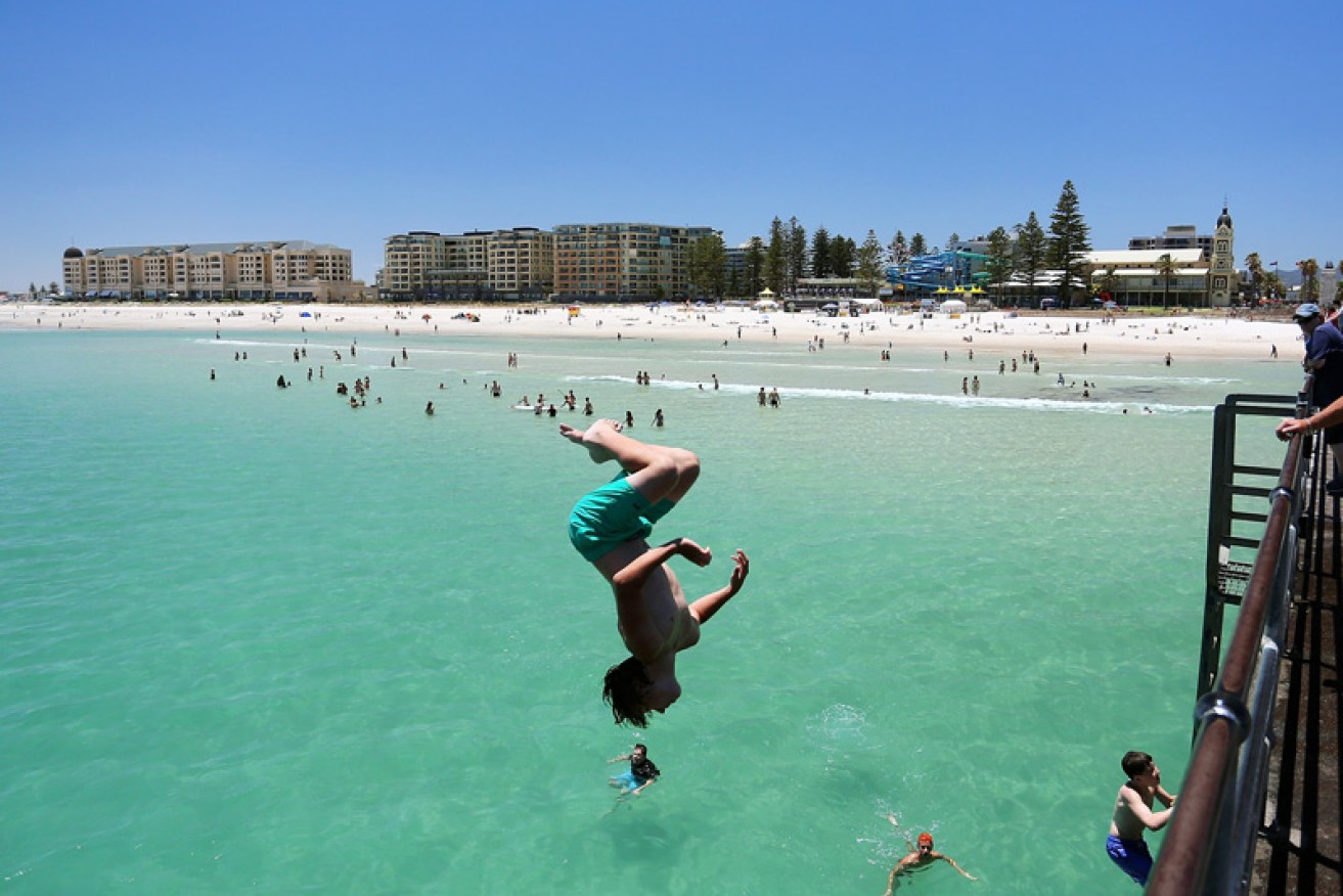
NSW and Queensland are set to swelter over the weekend with heatwave conditions forecast. Photo: Getty
If you’re waking up in Sydney on Saturday, you could be in for the hottest September day ever recorded.
The Bureau of Meteorology’s (BoM) Mohammed Nabi told The New Daily that Sydney is forecast to hit 33 degrees – an astonishing 13 degrees above the monthly average.
Meanwhile, the far north-west of the state is expected to cop searing heat, as high as 40 degrees – a September record for New South Wales – as well as elevated fire warnings.
“Parts of the state are looking to get a bit hotter with high 30s and a couple of those locations could reach the 40-degree mark, and if that were to happen that will be the first time since these records began,” Mr Nabi told The New Daily.
“It would be the first time we would have seen 40-degree temperatures in September in New South Wales.”
At least three locations (Burke, Tibooburra and Brewarrina) at the moment are looking to reach 40 degrees.
Metropolitan Sydney could also break the highest September temperature on record of 34.6 degrees as the western suburbs push beyond 37 degrees, he added.
“[Sydney] will also get pretty close either way to its record temperature,” Mr Nabi said.
The record-breaking temperatures are a combination of a large high-pressure system in the Tasman Sea and a north-westerly wind coming through from central Australia.
“We set ourselves up for a fairly hot day and windy conditions as well,” he said.
The alarming forecasts come with severe fire dangers for the west and northern part of the state.
According to BoM, a total of 12 fire bans are in place across NSW.
SEVERE WEATHER UPDATE: #Bushfire danger in #NSW and #Qld. Video current 1pm AEST 22 Sep. Check https://t.co/OcsMEE7ALq for latest warnings. pic.twitter.com/oCwXxI2YDl
— Bureau of Meteorology, Australia (@BOM_au) September 22, 2017
Greater Hunter, Greater Sydney Region, Illawarra/Shoalhaven, Central Ranges, North Western, Lower Central West Plains, Northern Riverina, South Western and Far Western are all at significant risk of bushfires on Saturday, BoM warns.
It comes after the warmest and driest winter on record for Australia’s east coast.
Snakes, storms and thunder
The Australian Reptile Park says “extreme caution” should be taken as people enjoy the outdoors, because warmer Spring days have already led to an increase in snake activity.
The park’s head of reptiles, Daniel Rumsey, says NSW residents in both rural and suburban areas should be on the lookout.
“Snakes don’t go out to harm humans, but if you get in their path or startle them, they will bite and it can be fatal,” he said in a statement on Friday.
Meanwhile, in Queensland, three storm cells are moving towards the east coast, bringing damaging winds and large hailstones to the Ipswich, Somerset, Lockyer Valley, Sunshine Coast, Brisbane and Moreton Bay council areas.
“Severe thunderstorms are likely to produce damaging winds, and large hailstones in the warning area over the next several hours,” a Bureau of Meteorology warning said.
Small hail has already blanketed yards at Crows Nest and Gatton, west of Brisbane.

Gatton hit by large hailstones as storms move across southeast Queensland on Friday afternoon. Photo: Twitter
Queensland’s storms came ahead of a heatwave in Brisbane and parts of the state’s southeast where the forecast is expected to reach a top of 35 degrees on Saturday.
A lack of rain over winter has also increased the risk of bushfires.
South West Rural Fire Service regional manager Tony Johnstone said the Friday afternoon storms were not expected to bring much rain but “may produce dry lightning which could spark bushfires”.