Extreme heat forecast for summer could trigger wildfires: BoM
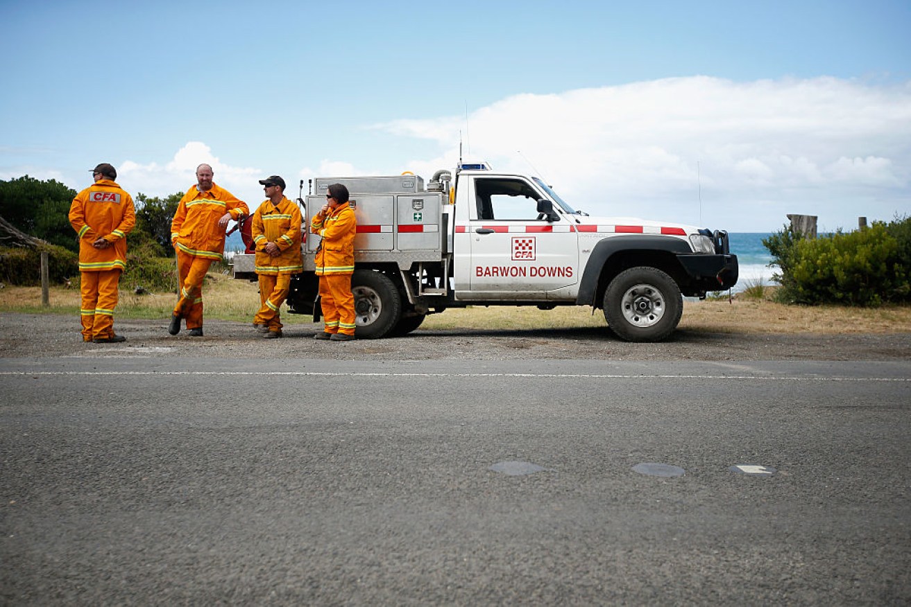
Country firefighters take a break. Photo: Getty
Eastern Australia is in for a hot, dry December that threatens to keep firefighters busy, forecasters say.
The Bureau of Meteorology released its latest outlook for summer which contains both good and bad news about the bushfire threat.
Australia had its second-wettest winter on record this year, with above average rainfall continuing into spring. A wet and cold spring in parts of south-eastern Australia means there’s lots of water in eastern rivers and streams, which helps them act as natural fire breaks.
While the heavy and consistent rain has left soils damp, Dr Andrew Watkins from the bureau’s climate prediction team said it has also resulted in heavy vegetation growth that could fuel fires when it dries out in the hotter-than-average conditions now being forecast for December.
“The odds have increased for drier than normal conditions for large parts of eastern Australia, including Canberra, Sydney and Brisbane, and all of those areas have bushland around them,” Dr Watkins said.
“And there’s at least an 80 per cent chance of things being hotter than normal in December, right through Queensland, NSW, much of South Australia, and the northern parts of Victoria.”
The warnings come less than a fortnight after NASA climate data pointed to global temperatures during 2016 outstripping even the record-breaking heat of 2015.
“It is very likely that 2016 will be the hottest year on record, with global temperatures even higher than the record-breaking temperatures in 2015,” NASA scientists said.
“This would mean that 16 of the 17 hottest years on record have been this century (1998 was the other one).”

Australia can expect more bushfires and extreme heat events.
Fire conditions
The Bureau’s Dr Watkins said next month’s conditions underscore the need for extreme vigilance, with the fire season already underway with blazes breaking out in Queensland, NSW and Western Australia.
Dr Watkins said there’s also an elevated risk of heatwaves next month, thanks to something known as the Southern Annular Mode.
This climate driver typically generates more westerly winds that prevent northern wet season rains from reaching southern parts of the continent and cooling things down.

Cyclone Stan turned into a bit of a fizzer. Supplied: Landgate/Himawari
Australians in Queensland’s north, the Top End, and in north-western Western Australia are also being warned not to be complacent about cyclones this summer.
The last cyclone season, which runs from November to April, saw just three cyclones develop off Australia – the lowest ever recorded. Just one – Stan – crossed the coast in a remote part of Western Australia.
But weather patterns have since swung back towards those that favour the formation of cyclones.
“Typically we get about 11 tropical cyclones in Australia each season, with about four crossing the coast,” Dr Watkins said.
“Our outlook is around the average mark this cyclone season.”
The Bushfire and Natural Hazards Cooperative Research Centre is due to provide a revised update on Australia’s bushfire risk on Wednesday.
-AAP, with The New Daily


