Why Australia is bracing for more wet weather

Will Australia experience another La Nina event in 2024? Photo: Bureau of Meteorology
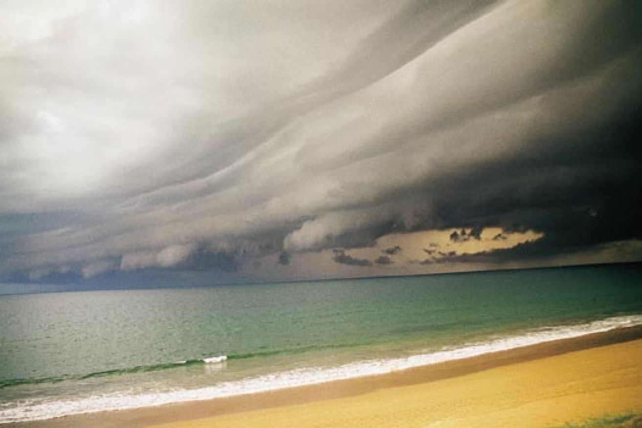
Australia has been battered by chaotic weather with extensive floods, damaging winds and statewide blackouts since September – but the worst could be yet to come.
South Australia and its 1.7 million residents were plunged into darkness after devastating gusts of up to 140 km/h knocked out three transmission lines and 22 towers last week.
New South Wales was hit with gale-force winds this week, which caused 11,000 houses and businesses to lose electricity on Wednesday morning.
In Victoria, South Australia, New South Wales and Tasmania, heavy rain has caused banks to burst, resulting in widespread flooding.
State emergency services have been inundated with calls, homes have been evacuated, and even the army was called to chip in and help residents fill sandbags in parts of South Australia.
And according to senior climatologist Agata Imielska from the Bureau of Meteorology, La Nina could be to blame for most of the carnage across the country.
El Nino and La Nina
One of the key climate drivers that influences Australia’s weather is called the El Nino-Southern Oscillation (ENSO).
ENSO is the natural cycle of winds, temperatures and clouds in the Pacific Ocean and often reflects the country’s extreme climates.
From devastating floods to searing droughts, ENSO swings between between three phases – El Nino, Neutral and La Nina.

Currently we are in La Nina watch indicating more wet weather could be on the way.
La Nina occurs when warmer than normal sea temperatures hit the north-west of Australia, while El Nino is the direct opposite as warm waters drift to the east.
In essence, La Nina means a higher risk of floods, tropical storms and colder temperatures, whereas El Nino means a greater risk of drought, more heatwaves and higher temperatures.
“El Nino translates to warmer and dryer temperatures while La Nina on average means slightly colder and wetter,” a Weatherzone spokesman said.
Last year was the strongest El Nino on record worldwide according to Weatherzone, but the indicators have since shifted.

A shift to La Nina watch could add to Australia’s flood worries. Photo: ABC
“Currently we are in La Nina watch which indicates there is at least a 50 per cent chance of La Nina occurring this year,” the BoM’s Ms Imielska told The New Daily.
“Even though we’re not in a La Nina per se, we have observed some La Nina-like patterns.”
Ms Imielska said the La Nina watch phase has lasted all winter and will stay until autumn next year.
She added that if La Nina was to develop, it would result in even more rainfall for south-east Australia.
A wet summer season would also be expected.
“In autumn we saw the decay of a very strong El Nino, then we went into Neutral and then quite a few indicators for La Nina developing, with quite a few international models including our own were seeing the potential for a La Nina to develop this year,” she said.


