MH370: new images may confirm area where plane went missing
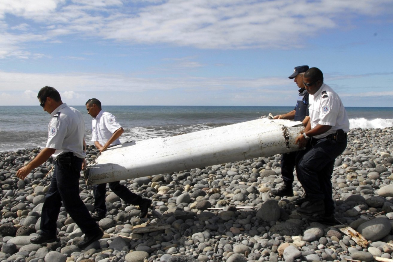
A wing flaperon that washed up on Reunion Island, in July 2015. Photo: AAP
Explosive new images may have narrowed down the area where flight MH370 disappeared three and a half years ago.
The satellite images taken by French authorities on March 23, 2014, just two weeks after the disappearance of MH370, and released by Australian Transport Safety Bureau (ATSB) on Wednesday, show a number of “probably man-made” objects in the southern Indian Ocean.
The four images were taken in an area of about 25,000 square kilometres which the ATSB believes may hold the jet but was not searched as it is to the north of the official 120,000-square-kilometer search zone.
The images were part of ATSB reports which analysed data gathered during the search for the missing Malaysian Airlines flight, and include satellite images and drift-modelling from debris that washed up on the island of La Réunion, in the western Indian Ocean, in mid-2015.

Reverse drift-modelling by the CSIRO has narrowed down an area of about 5000 square kilometres being the most likely location of MH370.
The Boeing 777 disappeared en route from Kuala Lumpur to Beijing on March 8, 2014 with 239 people on board and remains one of the most vexing aviation mysteries.
But ATSB chief commissioner Greg Hood was guarded about how significant the new information may be.
“Clearly we must be cautious,” Mr Hood said.
“These objects have not been definitely identified as MH370 debris.”
Experts from Geoscience Australia examined four images from the French authorities to determine whether they contained objects that were potentially man-made in origin.
They detected 70 object, 12 of which they deemed “probably man-made” and 28 of which they deemed “possibly man-made”.
“Geoscience Australia identified a number of objects in the satellite imagery which have been classified as probably man-made,” Mr Hood confirmed, but would not speculate on whether they belonged to MH370.
“The image resolution is not high enough to be certain whether the objects originated from MH370 or are other objects that might be found floating in oceans around the world.”
The images taken by a French military satellite were discarded by governments and authorities in late March 2014 before the ATSB became involved in the search.
But they may support the ATSB’s conclusion that the plane most likely crashed north of the area that was the official search area for more than two-and-a-half years.
In April, the CSIRO published modelling on the drift of a Boeing 777 flaperon that was consistent with the one from MH370 that was found washed up on La Réunion.
That drift-modelling confirmed the ATSB’s conclusion that the crash site of MH370 was in a new search area which the authority identified at the end of 2016, the CSIRO said.
That report, released by the CSIRO in April, confirmed that the most likely location of MH370 was a new 25,000 square kilometre area, north of the original 120,000 square kilometre search area.
Mr Hood said at the time that it was “highly likely” that the new area identified by experts contained the aircraft.
Malaysia, as the state of registry for the jet, retains overall authority and responsibility for any future search.
– with AAP