Jasper unleashes a soggy farewell as it shrinks over the Deep North
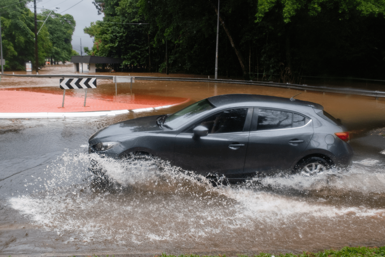
A driver does precisely what a driver shouldn't -- risking unseen deep water as the rain keeps falling. Photo: AAP
Residents in flooded far north Queensland are bracing for more rain as ex-tropical cyclone Jasper moves slowly westward over Cape York Peninsula.
The system is expected to hit the Gulf of Carpentaria by late on Sunday or on Monday as it edges towards the Northern Territory, but has slowed significantly. Earlier forecasts had it reaching the gulf on Saturday.
The category 2 system made landfall north of Cairns on Wednesday night before weakening to a tropical low.
Thousands of people have been without power for days and flooded roads have hampered access to towns in the aftermath.
The weather system is at moderate risk of strengthening into a cyclone again towards the second half of next week as it moves west across the gulf.
The immediate threat is heavy rain, which is forecast to continue for days.
‘Over a metre of rain’
Bureau of Meteorology forecaster Angus Hines said on Saturday that eastern and inland parts of north Queensland would cop the heaviest falls.
“These places have already had a whole lot of rain. In the past four days, parts of the Daintree region just north of Port Douglas have had over a metre of rain,” he said.
Many weather stations along the east coast have reported more than 500mm of rain in the same four-day period.
Mr Hines said another 200mm was expected this weekend.
Severe weather warnings for heavy rain remain in place for the Peninsula, Gulf Country and Northern Goldfields and Upper Flinders districts.
The Daintree River has a major flood warning in place, after hovering on the cusp of moderate to major flooding for several days.
Several other northern river systems have minor or moderate flood warnings.
A severe thunderstorm warning was issued on Saturday afternoon for destructive winds, intense rainfall and large hailstones possible for areas stretching from Noosa to Coolangatta.
A more general severe thunderstorm warning was also current for the southeast coast and parts of the Central Highlands and Coalfields.
The thunderstorm warnings cover the Wide Bay and Burnett and Darling Downs and Granite Belt districts.
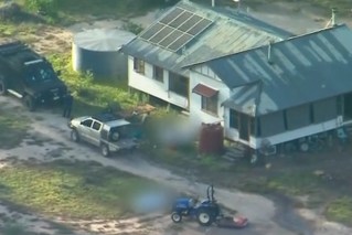
The Queensland Reconstruction Authority has begun to assess damage after state-federal disaster assistance was announced.
Powerlines claim a life
Meanwhile, a 30-year-old man was killed on Friday evening in the Brisbane suburb of Murarrie as severe thunderstorms rolled across the state’s southeast.
Police said the unconscious man was found lying near fallen powerlines on Murarrie Road with life-threatening injuries and he died a short time later.
It was confirmed on Saturday the man was electrocuted.
The storms packed damaging winds and heavy rain, with Cooyar Creek recording 77mm in two hours.
Areas between Caboolture and Woodford recorded 60mm to 90mm in 30 minutes.
-AAP