Flooding persists as intense system soaks NSW
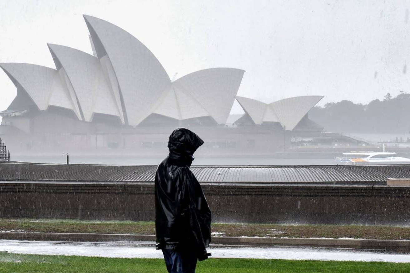
Photo: Getty
More than a dozen rivers are flooding across NSW as a cloud band brings continued heavy falls and storms across NSW.
NSW is in for a soggy weekend as a large cloud band dumps more rain across the state, with more than a dozen rivers set to flood after days of heavy rain and storms.
On Friday a trough and cold front will move across NSW, bringing further widespread rain and thunderstorms.
The system will bring widespread heavy rain to the eastern half of NSW including the western slopes and ranges, central NSW and the south coast, the Bureau of Meteorology said.
Saturday is set to be a “dangerous day” for Sydney with warnings of renewed river flooding to the city’s west, months after record peaks were observed.
“We know that our catchments are saturated,” Emergency Services Minister Steph Cooke told media on Thursday.
“The dams are full and our rivers are already swollen so any extra rainfall – no matter how minor – is likely to exacerbate existing flooding.”
Over the last few days, parts of NSW have already been hit with double to triple the amount of rain they would usually see in a month, the bureau’s Gabrielle Woodhouse said Thursday.
Continuing heavy falls will heighten the flood risk for inland rivers, with 14 catchments already on alert.
Conditions will ease briefly on Saturday morning before a low pressure system forms along the coast in the afternoon, bringing renewed rain in the evening.
The worst of the weather should ease off by Sunday, according to the bureau.
Renewed and prolonged flooding is continuing in inland NSW at the rivers Namoi, Macquarie, Bogan, Lachlan, Murrumbidgee, Murray, Edward, Culgoa, Birrie, Bokhara, Warrego, Paroo, Barwon and Darling.
Outback towns being monitored closely include Gunnedah, Narrabri, Tamworth, Dubbo, Forbes and Bathurst.
Throughout the weekend, the bureau expects to issue further flood warnings on the Hunter River, for Wollombi Brook and at western Sydney’s Hawkesbury-Nepean rivers, in Menangle and parts of Penrith.
It comes after heavy falls on Thursday took Sydney over the threshold for the wettest year in recorded history, surpassing the previous peak set in 1950.
SES Commissioner Carlene York warned renewed flooding could present different challenges, especially to inland communities.
“This particular event on saturated ground means that things can happen very quickly,” she said.
“Don’t assume you will get a warning … it may go straight to an evacuation order.”
Authorities have also warned tens of thousands of racing fans heading to the Bathurst 1000 at Mount Panorama to take care, with heavy falls predicted in the area.
“Please don’t race to the races,” Acting Deputy Police Commissioner Peter Cotter said.
Farmers are also concerned the latest deluge will destroy another crop and graziers have been warned to shelter lambs and sheep.
The bureau has warned livestock is at risk with temperatures set to plunge in the Illawarra, South Coast, Southern Tablelands, South West Slopes, Snowy Mountains and ACT regions.
– with AAP


