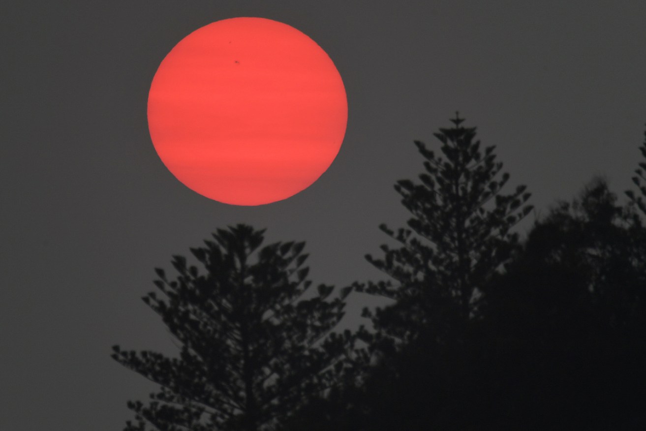
South-east set to swelter in heatwave fuelled by cyclone brewing off WA
Hot weather is heading to the south-east of Australia. Photo: AAP
It might have been a relatively mild summer so far, but a hot air mass strengthened by the cyclone brewing off the West Australian coast is set to cause extreme heatwave conditions in the south-east.
The Bureau of Meteorology’s Jonathan How said the heatwave would be longer and bring warmer nights than the one that broke records back in November.
“We are really going to see the heat start moving to South Australia and Victoria over the weekend,” he said.

Heatwave conditions are expected for much of southern Australia into next week. Photo: Supplied/BOM
“Sunday, Monday’s really going to be the peak of the heat as it moves into New South Wales.”
He said the heat was going to be focused around northern Victoria, south-east SA and the NSW Riverina region.
“Multiple centres along the Murray are going to get days in a row of 44 to 45 degrees with little relief overnight,” he said.
Hay, Narrandera, Echuca, Wangaratta, Keith and Murray Bridge are all in the firing line.
Temperatures are not expected to drop below 30 degrees overnight in many places on Sunday and into Monday.
Adelaide is forecast to hit 39 degrees Celsius Saturday and 41 degrees on Sunday and Western Sydney will sweat through multiple days in the high 30s and low 40s.
Fire danger is also expected to be high, so keep an eye out for warnings and do what you can to prepare in advance.

The system was once forecast to reach category 3 strength before crossing the coast. Dark orange areas are warned to expect gales within 24 hours of issue. Photo: Supplied/BOM
Meanwhile, the low is still brewing off the northern WA coastline.
Its forecast was downgraded overnight but is expected to strengthen into a category one cyclone before crossing the coast between Port Hedland and Broome early Saturday.
The system is expected to weaken as it makes its way inland and will likely drop plenty of rain as it makes its way across outback WA.
There is even a chance its presence will be felt in the south-east.
“Certainly the remnants of that tropical cyclone could make it down to the south-east,” Mr How said.
“With that, tropical moisture and quite a bit of rain activity, potentially making it a wet end of the week for parts of the south-east.”

As a high pressure system moves across on Friday it is set to bring a hot air mass down into the south-east. Photo: Supplied/BOM
Wait. A WA cyclone could affect this heatwave?
The basic set-up for a heatwave in the south-east is a slow-moving high pressure system over the Tasman Sea, whose anti-clockwise rotation draws hot air from central Australia down over the south-east.
As it turns out, a tropical cyclone off the north-west coast of Western Australia is one of the ways this process can be enhanced.
The explanation as to why is complicated, but when a cyclone forms it draws in air from the surface in a clockwise direction.
This air then flows out at the top of the cyclone into the upper atmosphere in an anti-clockwise direction.

Air enters a cyclone spinning in a clockwise direction but flows out the top of a cyclone spinning in an anti-clockwise direction. Photo: Supplied/Metservice NZ
That outflowing air can then either:
1. Disrupt the jet stream, causing it to “wiggle” and enhance the breaking of the upper level Rossby waves, which forms an upper level anticyclone that is tied into the the high pressure system at the surface.
Or
2.The ejected air can directly add to the upper level anticyclone that is already there, encouraging the high on the surface to persist.
Monash University research fellow Tess Parker said it was difficult to say for certain whether the tropical cyclone would have this influence.
“I’ve had a look at the upper level forecast and I can see Rossby wave breaking happening and the upper-level anticyclone forming,” she said.
“So it’s extremely possible that it will have an influence.”
Categorising heatwaves
Heatwave severity
Low-intensity The level of heat expected is unusual, but injury to people is not generally expected unless inappropriate activities are conducted or sensible precautions are not undertaken
Severe Vulnerable people are at risk of injury
Extreme Likely to cause impact across multiple areas such as infrastructure, transport, energy, agriculture and both healthy and vulnerable people are at risk of injury
Source: Bureau of Meteorology
The deadliest natural disaster
While they may not be the most visually destructive of the natural disasters, heatwaves have taken the most lives.
High overnight temperatures mean the body does not get a chance to recover from the heat of the day.
While those who are elderly or with pre-existing health conditions are most at risk, even the young and healthy can succumb to heatwaves.
Aditya Vyas from NSW Health recommended staying in doors between 11:00am and 05:00pm in cool, shady conditions.
“Make sure that you’re you’re well hydrated, drinking plenty of water, avoiding things like sugary drinks or coffee and tea, which can actually make heat-related conditions worse,” he said.
The hazardous surf conditions of the last few days are expected to ease on the east coast but that doesn’t mean there is no risk to the many expected to flock to the coast to beat the heat.
As usual, the message is that alcohol and swimming are not a good combination and the safest place to swim is to between the flags.
“If we just can’t see you this weekend, we just can’t save you this weekend,” Surf Life Saving NSW chief executive Steve Pearce said.
–ABC