Storms, wind bring ‘catastrophic’ fire danger to SE Australia
Source: Bureau of Meteorology
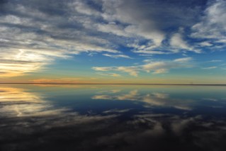
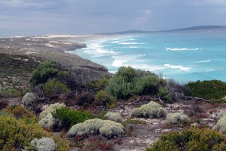
South Australians are being warned to prepare for a day of catastrophic fire danger, storms and dangerous winds on Friday.
The state’s Country Fire Services has forecast catastrophic bushfire conditions across much of SA.
The state can expect thunderstorms, lightning strikes and wind gusts up to 100km/h, with forecaster Weatherzone saying “storms bring a chance of heavy rainfall and destructive winds and possible tornados”.
CFS chief Brett Loughlin said it was the “most significant fire risk” South Australia had faced in recent years. Any fires would be “difficult to incredibly difficult” for firefighters to control, he said.
“The best thing that people can do is have the bushfire survival plan and have it ready and enacted well before any fire starts near the location,” he said on Thursday afternoon.
“Waiting for a fire to start in your area is very likely to be too late under the forecast conditions.”
A Boeing 737 air tanker will arrive in South Australia later on Thursday, ahead of the forecast extreme conditions.
“However, and I want to stress, the forecast winds tomorrow are such that there is likely to be times when an aircraft will be unable to safely fly and fight fires. It is crucial that people do not rely on firefighters and aviation assets to save them,” Loughlin said.
The weather bureau said the dangerous conditions were driven by the intense heat sitting over Australia, which has triggered heatwaves in many areas.
Some areas have already endured days in the high 40s.
“In addition to the heat, we’ve also got increasing winds tomorrow, picking up in the morning across eastern SA, parts of NSW and Victoria ranges, increasing through the afternoon and evening,” the Bureau of Meterology warned.
NSW and Victoria also face the risk of severe storms.
A total fire ban has been declared for the Mallee and Wimmera regions in Victoria’s west on Friday. In NSW, fire bans cover the lower central west plains, southern and northern Riverina, and the state’s south-west.
Weatherzone said the risks for much of South Australia would be the most extreme since the Black Summer of 2019, “as a dangerous mix of high temperatures, low humidity and gusty winds combine”.
“While the above conditions are intense, they are reasonably common for SA during a summer hot spell. What sets this system apart, is the strength of the winds coming with the hot, dry air,” it said.
“Winds of this strength are uncommon during summer and are usually only seen in these areas during winter and early spring.”
SA Power Networks spokesman Paul Roberts said the organisation would juggle its response to try to minimise the risk of fires and manage outages.
“This trifecta of weather conditions is the worst combination possible in terms of the potential for causing outages,” he said.
“There will be the potential for multiple outages in regional areas for example, as a lightning strike will cause an outage when the network is in bushfire setting, whereas the potential for that outcome is reduced when the network is in storm settings,” he said.
Tweet from @BOM_Qld
Cyclone Jasper steps up
The dangers for the southern states come as Tropical Cyclone Jasper was upgraded to a category three system and was expected to strengthen further as it moves towards the Queensland coast.
Jasper is forecast to reach high end category four intensity later on Thursday and possibly category five by Thursday night, the BOM said.
Over the weekend Jasper is likely to weaken but will remain as a tropical cyclone next week.
“At this stage the highest risk of a cyclone impact is the region north of Mackay but the timing and severity of the coastal impact remains highly uncertain at this stage,” the bureau said.
Jasper is not only the first tropical cyclone of the season but is also believed to be the first to form off Australia in December during an El Nino.
“It is rare to see a December cyclone, let alone one where we do have El Nino,” a bureau spokesperson said.
“It is unusual to be seeing this. There aren’t too many cyclones we have seen through the month of December let alone early December.”
-with AAP
Parts of this story first appeared in InDaily and are republished here with permission. Read the original here