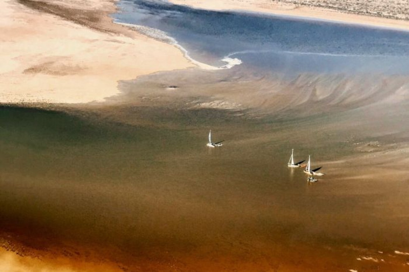
Lake Eyre fills with water from 1000kms away


Yacht bob on Lake Eyre. Photo: Trevor Wright/William Creek Hotel
Wildlife is flocking to Lake Eyre after it began filling with floodwaters from 1000 kilometres away.
Water reached Lake Eyre, or Kati Thanda, on May 15, two months after floods in western Queensland’s upper Diamantina catchment.
William Creek publican Trevor Wright said the water provided significant environmental benefits and would boost farming and tourism in northern South Australia.
Mr Wright, who has lived in South Australia’s outback for almost 30 years, said he could not recall ever seeing Lake Eyre fill so late in the year.
“This type of floodwater, when you don’t have local rains, is unusual,” he told the ABC.
“Normally you have local rain, but we haven’t had any rain here for eight months.
“We’re in semi-drought or drought conditions through the stations and towns up here. To see some water coming down through the Lake Eyre Basin and channel country is quite a surprise, and refreshing at the same time.”
Mr Wright said camel numbers had increased across the region with the floodwaters. He expected more wildlife to follow.
“You’ll see the dingoes coming in and the birds picking up in numbers and the vegetation turning green, and starting to grow again,” he said.
“The only thing that might slow it down a bit is we’re starting to get into lower temperatures. It’s only 22 degrees here today.”
On its way to Lake Eyre, the floodwaters cut through Cowarie Station, on the Birdsville Track. Pastoralist Chris Oldfield described it as an “unimaginable” amount of water.
“When you consider where it has come from, how much land it has actually covered, it is amazing,” he said.
Land access to Birdsville, 380 kilometres north-east of Lake Eyre, was cut off while the floodwaters went through the area.
NASA satellites captured images of the water making its way across Australia.

Satellite images of the floodwater on its way to Lake Eyre. Images: NASA

After the water has landed. Image: NASA
Among those most pleased to see the lake fill were members the Lake Eyre Yacht Club, who had been tracking the water level of the Warburton River, which empties into the eastern side of Lake Eyre, since April.
The Warburton became navigable in early May, reaching a height of 4.5 metres.

The water arrives in the Lake Eyre basin. Photo: Trevor Wright/William Creek Hotel
The Lake Eyre basin is the lowest natural point in Australia, at about 15 metres below sea level. The area gets less than 125 millimetres of rain every year, meaning the lake and surrounding creeks and streams are usually dry.
The vast basin covers almost one-sixth of Australia and is one of the world’s largest internally draining river systems. It takes in large parts of South Australia, the Northern Territory and Queensland, as well as a small part of western NSW.
The lake has filled to capacity only three times in the past century, the last time in the 1970s.
-with agencies


