South Australia braces for strongest winds in 50 years
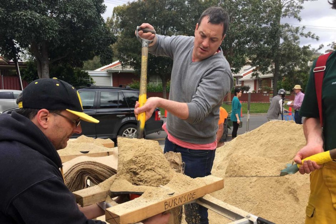
Men fill sandbags with the CFS at Burnside ahead of the forecast wild weather. Photo: ABC
Storm-force winds forecast to hit South Australia this week will be the strongest the state has had in more than 50 years, the weather bureau has warned.
Gale-force winds are expected to hit SA’s West Coast mid Wednesday, before strengthening into the stronger “storm force” category going into Thursday.
Bureau of Meteorology (BoM) state director John Nairn said the winds would bring waves of up to 10 metres in the West Coast, and by Thursday, the strong winds will hit Adelaide and the Hills.
Mr Nairn said the last time the state experienced winds this strong, it caused a Navy ship to run aground at Glenelg.
“If we were to go back through our records to see times when we have had this strength of wind, we would go back to 1964 and possibly to 1948 – back in ’48 they sank the Barcoo, offshore, in those winds,” he said.
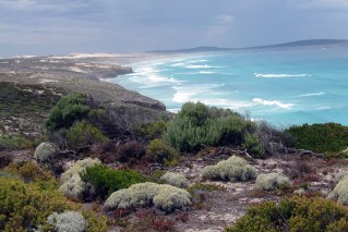
“Those are the sorts of winds we’re anticipating at this point in time – to be more impacting the southern Eyre Peninsula, up the lower Spencer Gulf, Kangaroo Island and potentially Investigators Straight.
“It is a very strong low that’s developing and it poses a significant risk to us at this time.”
Between 50 and 100 millimetres of rain has been forecast for the Mount Lofty Ranges.
A flood watch is in place for the Mid North, Mount Lofty Ranges and Adelaide Metropolitan District.
It warns there is a risk of rapidly rising water levels and flooding in creeks and rivers across the watch area, in particular the Mount Lofty Ranges from Wednesday afternoon.
The State Emergency Service (SES) said thunderstorms preceding the strong winds could also bring hail.
SES chief officer Chris Beattie said the state control centre had been open since Monday where a briefing of senior officials was held in the afternoon.
Another meeting is scheduled for Wednesday afternoon.
He said the Minister for Emergency Services was briefed on Tuesday and a meeting of Cabinet’s emergency council has been scheduled for 10:15am on Wednesday.
Mr Beattie said the SES would be carefully watching the Onkaparinga, Angas and Bremer catchments, which were flooded just two weeks ago.
“We’ve also got a little concern for the Gawler, Light, Wakefield and the River Torrens,” Mr Beattie said.
Sandbags are now available from 30 locations across the state.
A number of national parks and reserves will be closed over the two days due to the weather, including all Adelaide Hills parks as well as Cleland Wildlife Park, Mount Lofty Summit and the Mount Lofty and Wittunga botanic gardens.
SA Power Networks said it had all available resources on standby across the state in preparation for the extreme weather.