More storms for Queensland – and now there’s a risk of fires too
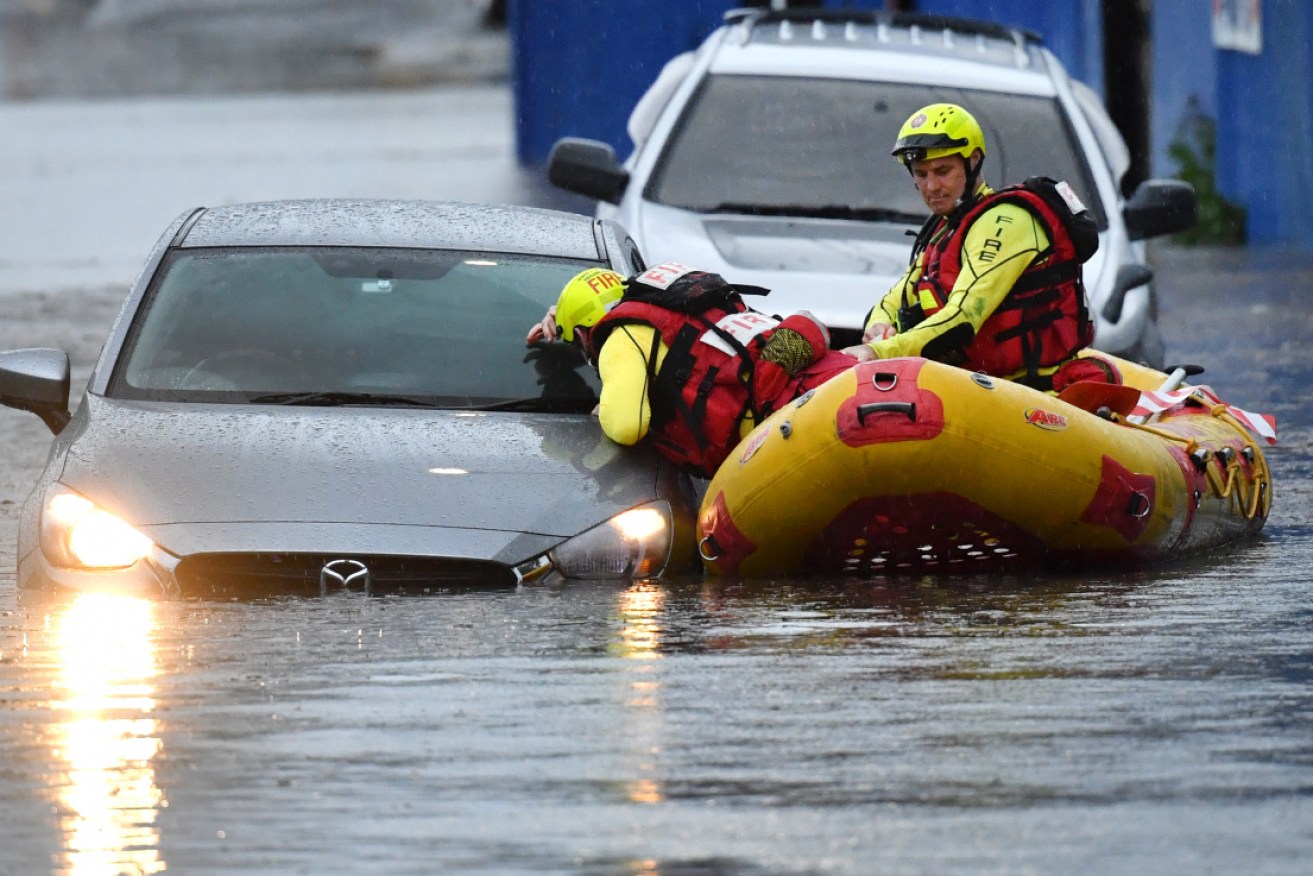
Queensland Fire and Emergency Services rescuers search flooded cars in Woolloongabba, Brisbane, after Tuesday's downpour. Photo: AAP
South-east Queensland could be in for a third consecutive day of storms, after “intense cells” battered parts of the region again on Wednesday.
Persistent heavy rain, strong winds and damaging hail cut power to more than 5000 homes and caused flash flooding in some areas.
As the storms swept through, more than 80,000 lightning strikes were recorded by Energex and 18 power lines were torn down.
Senior meteorologist Felim Hanniffy said the system was lingering on Thursday and might bring another wave of wild weather.

A power pole destroyed after being hit by lightning north of Brisbane. Photo: ABC/Energex
“It’s very coastal at the moment but it could bring a chance of some shower and storm activity as it clears off,” he said.
“There’s still instability around late morning and early afternoon so it’s worth keeping an eye on.”
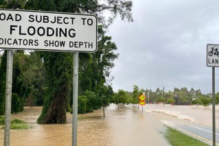
In the past 24 hours, some of the heaviest rainfall was recorded inland of Noosa – about 80 millimetres – and parts of the Wide Bay and Southern Downs received up to 100 millimetres throughout the deluge.
Downpours totalling about 150 millimetres in Brisbane over the past four days has meant the capital has exceeded its October rainfall average.
Meteorologist Pieter Claassen said the recently declared La Niña was providing the moisture for thunderstorms to feed off.
“We still need those weather systems to come through and essentially fire the trigger of that loaded gun but when those weather systems do come through … we can certainly see events like this, where you received much more rainfall,” he said.

Rescue teams search flooded cars in Woolloongabba, Brisbane, after Tuesday’s downpour. Photo: AAP
Fire danger for southern districts
Mr Claassen said clearer and warmer weather was on the horizon but warned Queenslanders to be aware of other weather risks heading into the weekend.
“By Friday pretty much all of the weather throughout the entire state should have cleared off and look like we’re heading to sunny days,” he said.
“Even some severe fire dangers forecast for southern districts as well – so really quite a big turnaround.”
Gympie District Beef Association president Mick Seeney said it was a relief just to see some green again after the heavy downpours.
Parts of the Wide Bay and Southern Downs received up to 100 millimetres throughout the deluge.
“Before that it was just desolate, you know – the grass was really short, the cattle were really hungry and the farmers were just losing the confidence that it was going to rain again,” he said.
Mr Seeney said it was a welcome start but more rain was needed.
“This only provides grasses, but no run-off and in most places there’s very little surface water left,” he said.