Emergency plan activated as Qld cyclone forms
ABC
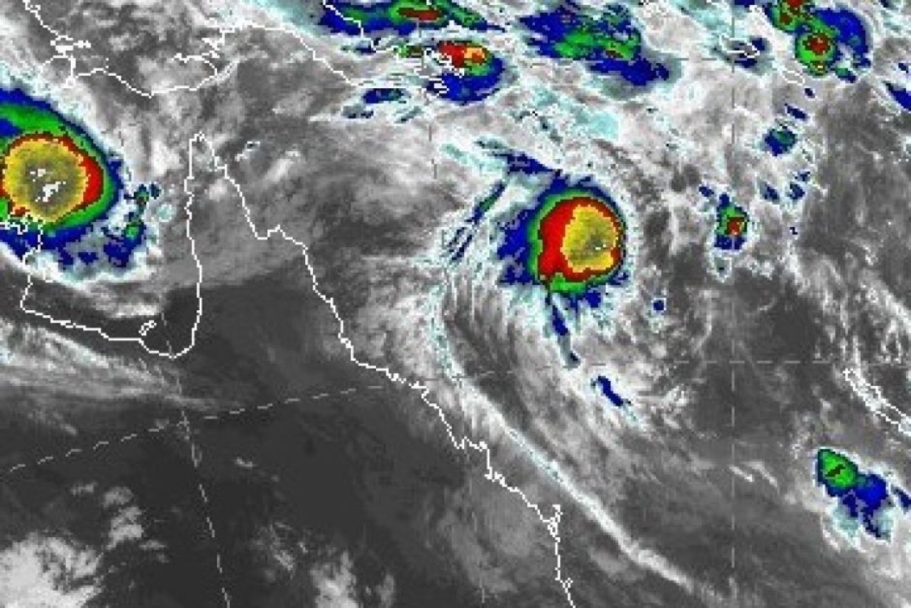
Cyclone Marcia has formed off Queensland’s coast and is expected to intensify to make landfall as a category two cyclone early on Friday.
This comes as a category three Tropical Cyclone Lam threatens remote communities in the north-east of the Northern Territory.
A tropical low in the Coral Sea turned into the cyclone about 8:00pm on Wednesday when it was about 760 kilometres off the central Queensland coast.
• Territory on alert as cyclone Lam intensifies
• Bad smells, raw prawns, wind breaks and cyclone Jacqui
The Bureau of Meteorology said there was a high chance it could be a category two cyclone when it hits land between St Lawrence, south of Mackay, and Hervey Bay early on Friday.
“It has developed more quickly than expected,” Bureau of Meteorology (BoM) forecaster Sam Campbell told 612 ABC Brisbane.
“Previously we had been forecasting a crossing of a category two system, it is possible that it could be an even stronger system than that now based on the more rapid intensification we have seen.
“If it is a stronger system it could penetrate further inland before it weakens significantly, so perhaps some of those heavier falls could push a bit further inland than we have been forecasting.”
Gales are expected to develop about coastal and island communities between Sarina and Double Island Point during late afternoon or evening on Thursday.
Destructive wind gusts to 150kph may develop about the coast and islands near the centre on Friday morning.
The BoM warned it had the potential to be the state’s biggest weather event since ex-tropical cyclone Oswald in January 2013, in which Bundaberg was inundated and three people died in floodwaters.
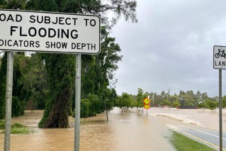
Between 200 millimetres and 500 millimetres of rain is expected to be dumped between Thursday and Saturday on a massive stretch of Queensland’s coast, from St Lawrence to the southern border.
Some areas could get more than 300 millimetres in 24 hours and a flood watch is current for the Capricornia, Wide Bay and Burnett, Southeast Coast, and the Darling Downs and Granite Belt District forecast districts.
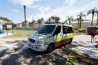
About 200 swift-water staff have been prepositioned for the event.
Gusts of up to 125 kilometres an hour, flash floods, high tides, beach erosion, possible tornadoes and powerful surf are expected from tomorrow to Saturday.
Disaster plan in place
New Qld Premier Annastacia Palaszczuk says the state co-ordination centre in Brisbane is now fully staffed and will be operational by 6am Thursday.
Noosa SES Stan Ryan says sandbags will be distributed to hinterland towns & low lying coastal areas #storm pic.twitter.com/RbnYHqxgJZ
— Bruce Atkinson (@bruceatkinson17) February 18, 2015
The disaster management cabinet committee will also meet at 9am Thursday.
“Our message to Queenslanders is start getting ready now,” she said.
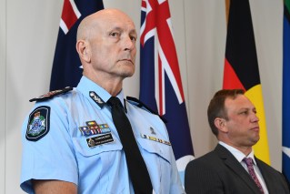
Queensland Fire and Emergency Service Acting Commissioner Katarina Carroll says the dams will have the capacity to take the intense falls.
“This is a faster moving system so there will be a lot of rain in a shorter timeframe,” she said.
“We are in a fortunate situation in that the ground is not saturated as it has been in the past and the rain has not been ongoing for a couple of weeks.”
The State Emergency Service has already handed out 6,500 sandbags in the Brisbane suburb of Newmarket, sandbags are being handed out in another four locations.
Flooding fears for regional Queensland
On the Sunshine Coast, Noosa council disaster coordinator Alan Rogers says flash flooding in hinterland towns is a concern, along with high tides on the coast in the region.
At 9am Friday one of the highest tides this year was expected.
In north Queensland, the biggest king tides of the year in Townsville were expected on Thursday, peaking at or above 4.05 metres.
Dangerous surf conditions, beaches to close
Gold Coast beaches between Burleigh and the Seaway were closed Wednesday and all Gold Coast beaches are expected to be closed on Thursday. Three to four metres of erosion was predicted.
Strong weather forecast for SEQ over the next few days. Beachgoers are reminded to swim only at patrolled locations. pic.twitter.com/JBXyBPog0m — Surf Life Saving QLD (@lifesavingqld) February 17, 2015
For the second time in two weeks, predicted bad weather forced authorities to remove shark control nets from Sunshine and Cooloola Coast beaches.
Fisheries Queensland Shark Control Program manager Jeff Krause said nine nets on the Sunshine Coast and three on Rainbow Beach had been removed, but two would remain at Noosa.