Roofs torn off houses as wild winds slam Sydney
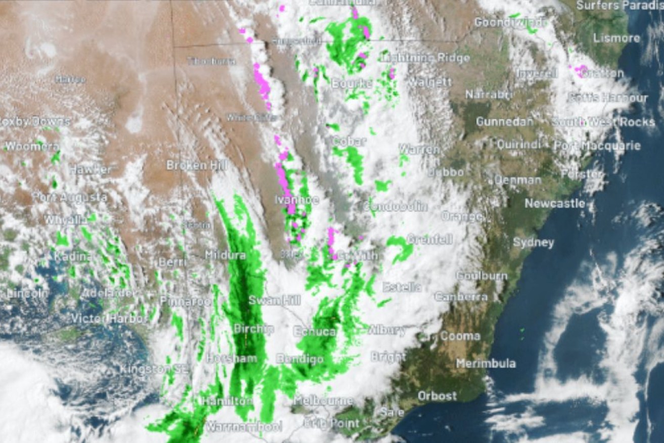
A huge cold front triggered strong wind warnings as it marched east. Photo: Weatherzone
Sydney has been slammed by destructive winds that snapped trees and turned some buildings to rubble as a storm swept across the city overnight – and Victoria could be next.
Residents across three states were warned to brace as a cold front marched across eastern Australia late Thursday, generating wild winds and bringing a huge line of storms.
The front stretched from southern Queensland all the way through NSW and into Victoria.
The fast-moving system didn’t bring much rain but generated “extremely wild” winds, said Weatherzone.
The powerful gales caused significant damage to properties in Frenchs Forest on Sydney’s northern suburbs, where roofs were blown off homes.
Footage on Nine Network’s Today program showed parts of houses that were turned into piles of smashed bricks and twisted metal.
Tall trees were brought crashing down on roads and roofs in the dark hours.
The weather bureau has warned Victoria could be next, with winds of up to 110km/h expected on Friday.
There were strong gales of 122km/h on Thursday at Mount William in the Grampians and just under 100km/h at several locations in the Victorian Alps.
Fire danger
The weather bureau has also warned of an ‘elevated fire danger’ across much of the country in coming days, exacerbated by the winds.
Dry, warm and windy weather is expected to persist this week and over the weekend.
“Fire danger will be elevated across much of Australia over the coming days due to strong winds associated with a powerful cold front,” said a Bureau of Meteorology alert.
Residents have been told to check with local fire and emergency services for nearby fires and the latest weather and warnings.
Tweet from @BOM_au
Meanwhile disaster-weary Australians have been told to brace for storms and possibly floods in coming months, despite predictions for a dry spring along the east coast.
The Bureau of Meteorology has warned that spring marks the peak season for severe storms in Australia’s eastern states and the outlook is largely unchanged despite developing El Nino conditions.
Senior climatologist Hugh McDowell said the long-range forecast was for lower-than-average rainfall in NSW in spring with a high chance of above-average temperatures.
He said the developing El Nino and conditions in the Indian Ocean meant less overall rainfall, but their influence on severe storms was weaker.
“We can expect the number of severe storms to be close to historical averages this year,” Mr McDowell said, adding that the flood risk was also close to average.
NSW State Emergency Service Commissioner Carlene York said people should not be complacent and she urged residents to get their properties ready for severe storms.
“Throughout storm season severe weather, such as flooding due to isolated heavy rainfall, strong wind events and damaging hail, can all have significant impacts on communities,” she said.
Residents in NSW, South Australia, large parts of Victoria and south-east Queensland have also been told to brace for an elevated risk of spring bushfires during what could be the worst fire season since the 2019-2020 Black Summer.
Several years of La Nina-driven rain have dampened fire concerns, but the wet conditions have also fuelled the growth of rapidly drying vegetation.