More rain for ‘sensitive landscape’ in NSW
NSW's long drought is all but over, but farmers still face considerable challenges. Photo: AAP
NSW is in for another wet weekend that could lead to more flooding, and the rain looks set to stay through summer.
The Bureau of Meteorology is monitoring a deep low-pressure system extending across the Northern Territory that is expected to deepen further when it combines with a cold front coming from the south.
BOM NSW hazard preparedness response manager Jane Golding said the system was likely to deliver widespread rain to parts of the state as well as thunderstorms, at a time when the landscape is “quite sensitive”.
“We’ve seen quite a lot of rain over the last 18 months … the catchments are saturated, quite a lot of dams are full and some of our rivers are still quite high,” Ms Golding says.
Tweet from @NSWAmbulance
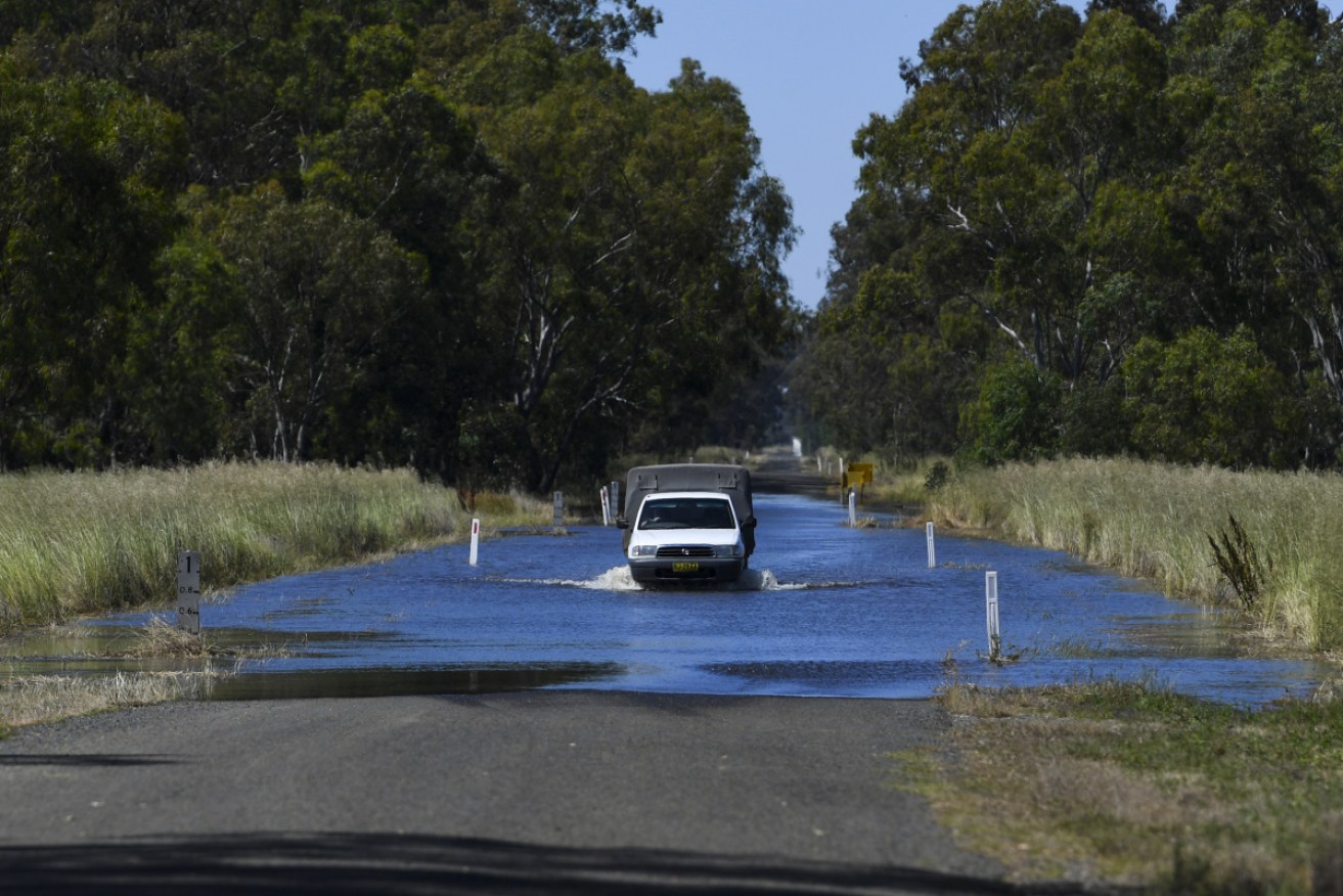
Extended rainfall over the past week has raised river heights across the state and threatened to bring major flooding.
The central-west NSW town of Forbes was on high alert this week amid fears the Lachlan River could exceed major flood levels of 10.55 metres.
It ended up peaking a centimetre below that on Thursday morning, but remains high as waters make their way downstream.
Ms Golding warns “the water levels in the Lachlan are still high and any rain over that area will exacerbate the situation”.
Flooding in and around Forbes prompted evacuations as well as inundating farms and destroying crops.
Some growers have been trying to salvage the crops they can before more rain falls.
The BOM is also monitoring other NSW river catchments, particularly inland in the north, which also received heavy rain last week and is expected to also bear the brunt of the next falls.
On Thursday disaster assistance was made available by the state and federal governments for several local government areas from the Blue Mountains, to Forbes and Moree.
NSW Farmers President James Jackson has welcomed the help, but said it was still “too early” to work out whether the bill will exceed the 2016 floods.
Ms Golding said the bureau expected the forecast “to evolve quite a bit” as the system developed.
“Where the rain falls and the storms develop will depend on which track that takes through NSW.”
Sydney could have a wet start to the weekend but is unlikely to be as affected as other parts of the state.
Computer modelling suggest the central-east and north-east of NSW will face the most rain.
“You can expect rain generally across eastern NSW to increase tomorrow and further on Sunday… the heaviest rain day looks like it will be Sunday into Monday,” Ms Golding said.
The New England region is being watched closely for thunderstorms and rain, and flood watches are active for rivers in the vicinity.
Ms Golding said wet weather was likely to be “a feature for the next few weeks and summer in general”.
“Our climate outlook is pointing to a wetter than normal summer for NSW,” she said.
-AAP
Want to see more stories from The New Daily in your Google search results?
- Click here to set The New Daily as a preferred source.
- Tick the box next to "The New Daily". That's it.