Parts of Australia shiver through first week of August
lutruwita in Tasmania was one of many areas to be covered in snow. Photo: Twitter/@RobertArnol
July was more dry and warm than usual. But the first days of August are a reminder we are still in the depths of winter – at least for the southern states.
Western Australia has felt the cold change, too, with welcome rainfall in the past 48 hours.
The low pressure system has travelled east from WA, bringing rain and chilly conditions for South Australia, Victoria and Tasmania.
If you were rugging up on Tuesday, expect to keep adding layers – the chilly weather is set to continue.
On the plus side for Victorians in lockdown 2.0, the freezing conditions have made staying at home more bearable.

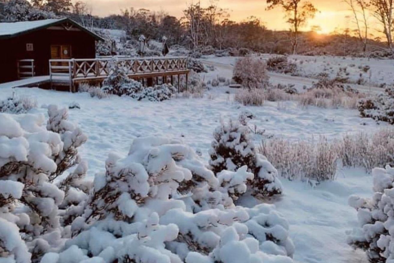
A winter wonderland in the Huon Valley, outside Hobart. Photo: Sara Glaoua
Regional families, who not yet under stage three restrictions, were able to spend time outside – and play in the snow – on Tuesday.
There were flurries of snow in rural areas around Northern Tasmania as a cold front brought ice and snow to the doorstep.
One hour after it was straight sunny. Standard Melbourne weather. ❄️ pic.twitter.com/2Wtb5CCOfC
— chewbacca (@slepua_yo) August 4, 2020
Tweet from @ABC
It’s likely to persist in the coming days.
“We expect to get large amounts of snow in elevated areas, and it is unusual in the fact that we expect to see snow on the east-facing hills on the East Coast,” Bureau of Meteorology senior forecaster Simon McCullogh said.
Meanwhile, residents in Western Australia’s south coast were forecast to receive two months’ worth of rain in the 48 hours from Tuesday.
It came after the state posted its second-warmest July on record and Perth on Monday recording its coldest day in 15 years.
Tweet from @BOM_au
The low-pressure system which drifted east from the Gascoyne is expected to bring some much-needed rain across the country.
It comes after an “incredibly dry” month in which July recorded less than 20 per cent the average rainfall for most of Australia, according to the Bureau of Meteorology.
An Antarctic blast is continuing to sweep over the Victoria. Snow is expected to fall down to about 500m on Wednesday in towns on Melbourne’s outskirts.
Tweet from @CarlowWeather
Residents across the city will continue to shiver through what is set to be Melbourne’s coldest four-day spell in 24 years.
“A mass of cold air passing over Victoria this week will keep Melbourne’s maximum temperatures a few degrees below average for several days in a row,” Weatherzone meteorologist Ben Domensino said.