Flash flood warnings as deluge hits Victoria
The area covered by the BOM's severe weather warning on Wednesday morning. Photo: BOM
The remnants of ex-tropical cyclone Esther brought a month’s worth of rain to Melbourne on Wednesday night, causing flooded roads and travel disruptions ahead of Thursday morning’s peak hour.
The Victoria State Emergency Service has responded to numerous calls for help, with at least six cars becoming trapped in floodwaters since 5.30am.
Train passengers wanting to travel between suburban Sandringham and Elsternwick had to wait more than an hour for replacement buses when flooding closed rail lines.
Buses were also being organised for Melbourne’s CBD, where multiple train and tram lines were halted on Thursday morning after the city got more than 100 millimetres of rain overnight.
Since 1am, Melbourne has recorded about 50 millimetres – more than it would usually receive for the whole month of March.
The, which has already caused road and lane closures across the city, is not expected to let up during Thursday.
Parts of central and eastern Victoria can expect further damaging winds and heavy rainfall, with the potential for minor flooding of some rivers.
@3AW693 Dynon Rd West Melbourne pic.twitter.com/UMtkcqOLzT
— @atlaswaste (@atlaswaste) March 4, 2020
Mount Buffalo is forecast on Thursday to receive the highest rainfall in the Victoria, with 53 millimetres, followed by Hunters Hill, 44 millimetres, Matong North, 40 millimetres, and Falls Creek, 38 millimetres.
A warning has been issued for damaging winds and heavy rainfall in north-east and parts of central, East Gippsland, northern country and north-central forecast districts.
A flood watch has also been issued for north-east Victoria and parts of Gippsland, including the Ovens, King and Yarra rivers.
As ex-tropical cyclone Esther closes in on NSW, there is the potential for it to cause severe weather, including thunderstorms, heavy rain and flash flooding.
Residents in fire-affected areas are being warned about the potential for landslips and debris across roads due to heavy rainfall.
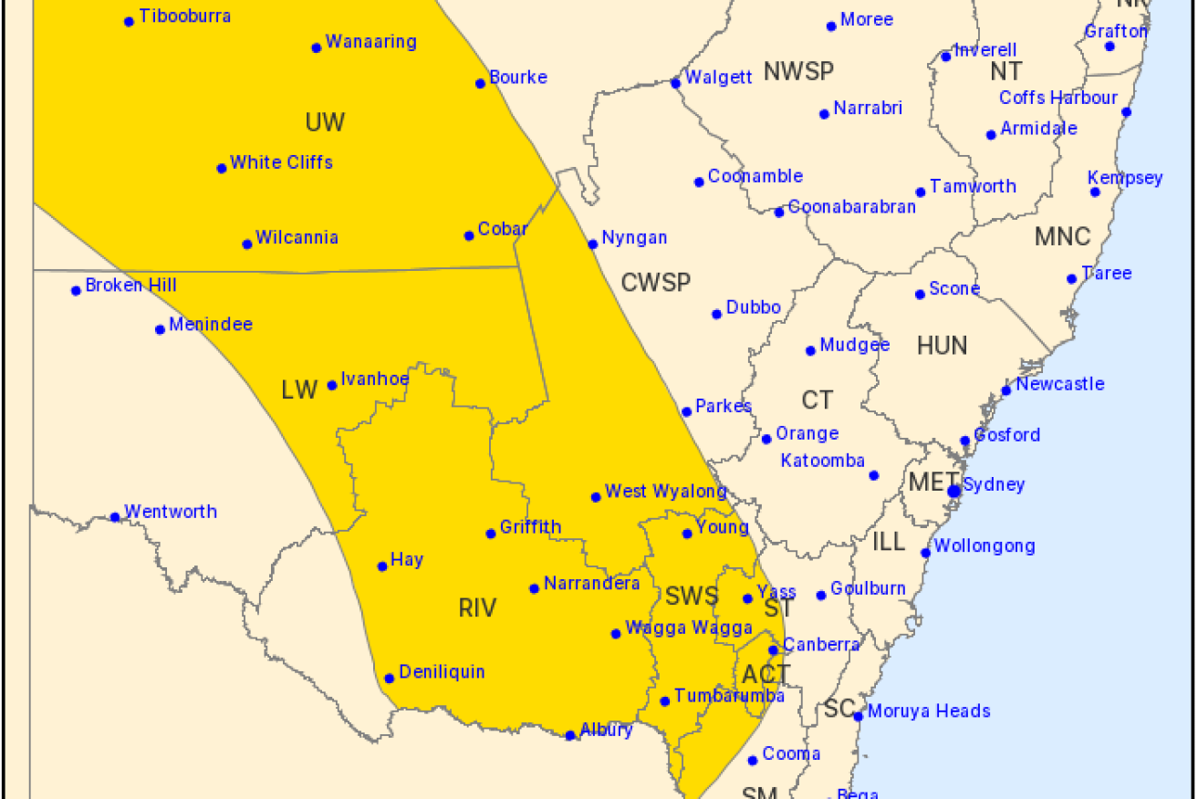
Damaging wind gusts of more than 90 km/h are also possible on Thursday in eastern parts of the upper western, and adjacent areas of the north-west and central-west slopes and plains, of NSW.
A flood watch is in effect for the Murrumbidgee, Tumut, Queanbeyan and Belubula Rivers, as well as river systems across the state’s northern inland area.
In Queensland, moderate to major flood warnings have been issued for rivers and creeks across the state.
Severe thunderstorms capable of producing heavy rainfall are also forecast for parts of north-western Queensland.