Temperatures creep up ahead of heatwave weekend
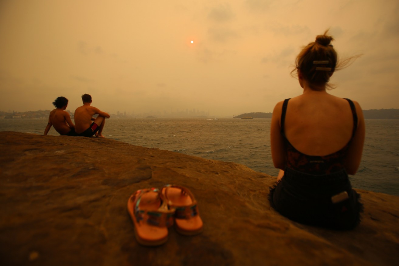
More hot weather is on the way, with a number of states bracing for a heatwave and bushfire threats. Photo: AAP
Another heatwave is set to slam several states, with temperatures expected to surpass 40C in Victoria and South Australia over the weekend, while NSW will also be hit with extreme heat.
Bushfire dangers will increase in the flame-blackened states from Friday as the mercury rises.
Victorians have been warned to be extremely aware of weather conditions, with statewide heat alerts in place on Saturday and Sunday.
Melbourne is forecast to reach 43C in some suburbs on Monday.
New fires have also been deemed as likely to start as a result of dry lightning, particularly in the east of the state.
Authorities urged people to be aware of potentially dangerous fire conditions especially in East Gippsland.
Heatwave conditions are set to develop over much of Victoria until Monday, with Severe to Extreme conditions in some areas, especially the north and east. Beat the Heat: https://t.co/TvZSK4PI1g and stay up to date with the latest forecast: https://t.co/NN9s5aa4We pic.twitter.com/yzLBlULT5H
— Bureau of Meteorology, Victoria (@BOM_Vic) December 26, 2019
Plans to walk, hike, cycle or or drive in remote parks and forests were discouraged, as new fires can quickly threaten lives.
Significant fires burning may impact communities from the Great Dividing Range to the coast between Bairnsdale and Marlo.
The fires in East Gippsland have been burning since November 21, burning more than 100,000 hectares while travelling more than 1000 kilometres.
Smoke from fires burning in Gippsland and New South Wales is currently affecting air quality in the North East of Victoria.
NSW
Dangerous bushfire conditions are forecast for NSW, with high temperatures and dry winds set to again make firefighters’ lives miserable in coming days.
The weather bureau said a severe heatwave had started building in southern parts of NSW on Thursday and was likely to persist.
Very high fire danger is forecast for nine NSW regions on Friday, including the ACT, Greater Hunter and central and southern ranges.
Highs of 36C are expected in Canberra, while regional centres such as Mudgee, Goulburn, Tamworth, Dubbo and Griffith are set for days above 35C.
“Between Thursday and Saturday we are starting to see severe heatwave conditions in the southern parts of the state, extending over a more significant area of NSW into the weekend and next week,” forecaster Rose Barr said.
“The fire danger will worsen into the new week, with Monday and Tuesday most likely to be the most significant fire weather days.”
Very High Fire Danger Rating for many parts of the state. Almost 1,300 firefighters in the field. Over 70 bush & grass fires, 33 uncontained. Deteriorating conditions forecast so discuss your bush fire survival plan & know what you'll do if fire threatens. #nswrfs #nswfires pic.twitter.com/3405OAa4DD
— NSW RFS (@NSWRFS) December 26, 2019
Two firefighters were killed and as many as 100 houses destroyed when bushfires ripped through NSW on Thursday and Saturday last week.
Firefighters have used recent milder conditions to strengthen containment lines and more than 1400 were working on Boxing Day to slow the spread of fire.
More than 75 fires are burning across, with 30 yet to be contained.
RFS spokesman Inspector Ben Shepherd said the organisation had worked hard on containment through Christmas, with more than 1700 firefighters in the field on Christmas Day.
“The weather has been for once a little bit more in our favour but it’s still going to be a potentially difficult day come next week once we start to see that bad fire danger set in,” Insp Shepherd said.
SA
The Adelaide Hills bushfire has been downgraded to an advice message but the Country Fire Service remains wary of deteriorating weather conditions in coming days.
Temperatures on Friday will head towards 40C and winds will start to increase, raising fears of flare-ups within the fire ground.
Meanwhile South Australian Police are calling for information following two suspicious fires at an Adelaide primary school and a tyre store in the hills overnight.
So far the Adelaide Hills blaze has torched 25,000 hectares and has destroyed 84 homes along with about 500 other buildings.
CFS crews remain in the area and are continuing to contain fire activity in various locations.
Thermal imaging equipment is being used to identify hot spots so that crews can strategically target areas of concern, particularly on the western perimeter ahead of forecast wind changes.
Total fire ban conditions are forecast for Friday and Saturday when conditions will be both hot and windy.
Temperatures will remain high until at least Monday, ahead of a cool change that will bring wind gusts up to 50km/h along with lightning.
The CFS said the deteriorating weather conditions would increase the chances of outbreaks and urged all local residents to remain vigilant.
Tasmania
Tasmania is set for a three-day blast of hot weather, with the mercury tipped to near 40C in parts of the state on Monday.
A total fire ban has been issued from 2am on Saturday to 2am on Tuesday for the eastern half of the island as authorities brace for dry conditions.
Hobart is forecast to reach the low 30s on Saturday before peaking at 38C on Monday.
Areas of Tasmania’s east and southeast will also reach the high 30s, the Bureau of Meteorology says, with the fire danger expected to be severe.
Thunderstorms are tipped to cross the island on Monday evening and Tuesday morning but they’ll also bring the possibility of dry lightning.
The Tasmania Fire Service is keeping a close eye on the north and northeast where fuel loads are dry.
As of Friday afternoon, eight bushfires were listed as ‘going’ by the TFS but no warnings were in place.
-with AAP