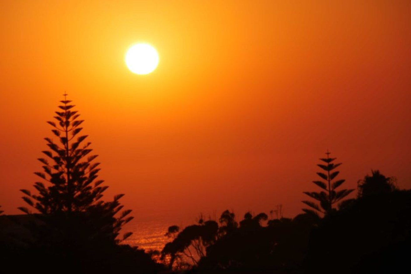
Heatwaves, bushfires and lower rainfall on the horizon for large parts of Australia
Heatwave conditions are set to get worse this summer. Photo: ABC
As large parts of Australia prepare for spring after one of the country’s driest and warmest winters on record, forecasters warn summer will bring heatwaves and bushfires.
The Bureau of Meteorology’s Dr Andrew Watkins has warned that drier-than-average conditions should be expected to extend across southern Australia and up through NSW into central Australia.
There is also double the risk of an El Nino forming in the coming months.
“This will basically mean that as we get into summer, there’d be less chance of having those recovery rains that we need,” Dr Watkins said.
“(We are) looking at average to below-average rainfall, unfortunately, for the drought areas and warmer-than-average conditions through those areas as well,” Dr Watkins said on Thursday.
“It may be we’re getting into late spring or even summer before we start to see some better rains in those areas.”
#Spring 2018 #BOMOutlook now available: below-average rainfall and warmer than average days/nights likely for most of Australia 🌧️ 🏞️ 🌏 🌡️ View the outlook for your location (now with increased forecast resolution) & full video at https://t.co/uiBc8gq6s3. pic.twitter.com/VrqmKlviqp
— Bureau of Meteorology, Australia (@BOM_au) August 30, 2018
The warning comes as farmers across NSW and Queensland continue to battle extreme weather conditions and low rainfall, resulting in the loss of entire farms, livestock and income.
The chances of spring rain are below average for much of the country, particularly south-west Western Australia, most of South Australia, southern parts of the Northern Territory, inland NSW, Victoria, Tasmania, and north Queensland.
Cooler-than-average sea temperatures in waters off Australia’s north-west coast are acting to suppress rainfall over southern and central Australia, the bureau says.
“We might have to wait until as late as autumn in 2019 to start seeing some recovery rains in the drought areas.,” Dr Watkins said.
“But at the moment there’s still a 50 per cent chance that El Nino won’t come off.”

The bureau has a current El Nino watch in place. Photo: ABC
The drought warnings come as newly-elected Prime Minister Scott Morrison met with national drought co-ordinator Major General Stephen Day last weekend to highlight his focus on a drought fix as his No.1 priority.
“I’m not pretending to know one end of a sheep from another,” Mr Morrison said.
“But I do know people are hurting in the country, and they have been hurting terribly.
“I’m up to the challenge,” the major general responded. “Dealing with the drought is a team sport. I’m glad to be on the team.
“When our regional people are hurting – and they are really hurting in this dire situation – our nation hurts too.”
New special envoy for drought Barnaby Joyce told a Sydney radio station on Thursday that the government must treat the drought like a “national emergency”.
Dust storms, frosts across three states
In the past 24 hours alone, South Australia has experienced power outages as damaging winds bring dust storms across part of the state as the bureau forecasts “warm, windy, dusty and sneezy” conditions in southern parts of the Northern Territory on Thursday afternoon.
The bureau posted on Twitter: “If you thought it was warm in Adelaide last night – it was! The min temp was a very warm 19.2C, which is the highest August minimum on record”.
In Queensland, “dust hazes” were forecast around Birdsville and in Victoria the bureau announced it had been “a night of extremes” overnight on Wednesday.
Frosts in East Gippsland kept temperatures to a low of -4.2 degrees and were reportedly the lowest since August 1982.

The Bureau of Meteorology’s map shows the chance of above median maximum temperature for September to November.