After a downpour, this is where all the water goes
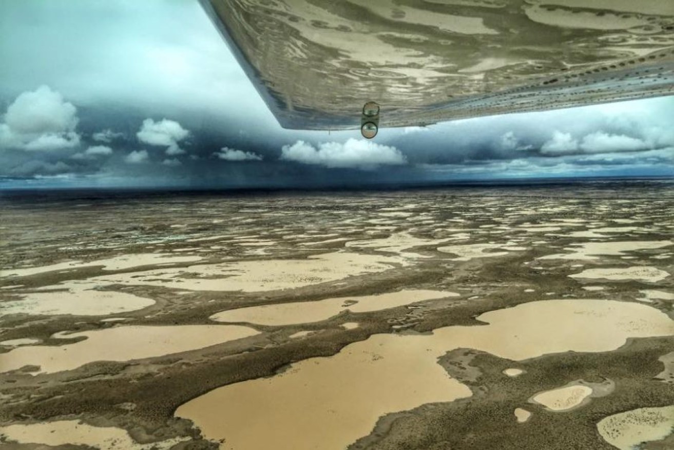
Floodwater from a number of river systems drain into Lake Eyre in Central Australia. Photo: Trevor Wright/ABC
Slowly and steadily a great flood is trickling its way across the outback.
Birdsville is being surrounded and the Channel Country is finally living up to its name.
In March great torrents of water crashed down on the tropical coasts and the Hunter Valley also had a drenching.
Why are these systems so different and why do some floods happen fast and others slow?
To work it out, you need to understand how the waters flow across this wide brown land.
Catchments
Most of you will be unsurprised to hear that water flows downhill.
University of Melbourne hydrologist and climate scientist Ben Henley explained a concept that turns this basic fact into a practical measure: the catchment.
“A catchment is an area of the land surface where all of the surface precipitation converges to a point,” he said.
You can work out a catchment yourself by looking at the land and thinking about where the water will go when it hits the ground.
“These can be tiny little catchments, even suburban or backyard scale,” Dr Henley said.
“Right up to these enormous catchments that are so important for irrigation – for our food bowls in Australia and the rest of the world.”
Going national
At a backyard level it is easy to figure out, but across the country it gets a bit trickier.
According to Dr Henley it takes a process called topographic analysis – the study of the shape of the surface of the earth (so, where the hills are).
“Geoscience Australia and the Bureau of Meteorology and various other agencies keep records and update these records of the topography of the country, and these topographic maps can be used to define [catchment] boundaries,” he said.
Because they know where the hills are, the bureau, along with other science agencies, have been able to work out where the water will tend to go wherever it falls in Australia.
They have divided the nation into what is known as ‘drainage divisions’.

Australia’s Topographical Drainage Divisions adapted from the Bureau of Meteorology’s Australian Hydrological Geospatial Fabric (Geofabric) map. Photo: ABC
Most of these drainage divisions consist of lots of different catchments that drain out to sea, with the exception of the Murray-Darling and the Lake Eyre Basins.
The Murray-Darling Basin is made up of many inland rivers that converge and flow into the Murray River, which goes out to sea in South Australia.
The water that falls in the Lake Eyre Basin does not flow out to sea at all, but drains into the usually glittering salt pan that is Lake Eyre.
So where did the rain fall?

March rainfall deciles crudely overlayed with rough drainage divisions. Photo: BoM/ABC
Large parts of Australia had a lot more rain than usual in March.
Andrew Preece, senior hydrologist with the Bureau of Meteorology’s flood forecasting team, said widespread heavy rainfall in early March brought several hundred millimetres of rain in the Georgina, Diamantina and Coopers Creek systems, which are part of the Lake Eyre Basin.
So why is the beginning of March still significant a month later in April?
“The river systems out there are fairly flat, fairly slow moving,” Mr Preece said.
“We had the rainfall at the beginning of March and we’re only just starting to see the flood peak approaching the Queensland border.”

Water from the Georgina, Diamantina and Coopers Creek is making its way south towards Lake Eyre. Photo: ABC
Not all the water makes it
Mr Preece said the heavy rainfall itself only really fell in the upper part of the Diamantina catchments.
Lots of the rain that falls will not make it to the end of the river.
Some will be soaked up by the ground, some will get stuck in dams and lakes, some will be evaporated off and some will be sucked up by the plants in a process called evapotranspiration.
“As the flood peak makes its way downstream, it’s actually running over dry land and filling water holes or billabongs, dams or things like that, as it soaks into the ground as well.
“Historically we have seen smaller flood peaks completely disappear between, say, the upstream parts in Winton – they’ve disappeared before it’s even got to Birdsville,” Mr Preece said.
Is the lake going to fill?
In early April, following the March downpours, the rainwater had well and truly made it to Birdsville – does that mean it will make it to the lake?
Mr Preece resisted being drawn on the topic.
There is still a lot of ground to cover and it is expected to take a week or so before the peak of the flood reaches the lake – if it makes it at all.
Word on the ground is some might make it but it is not expected to fill.
Not everywhere takes this long
The floods happened much more quickly up on the tropical coasts.
“At the beginning of March, that same rainfall event that caused the floods in the western creeks also impacted catchments on the north tropical coast,” Mr Preece said.
There were widespread four-day rainfall totals of 300mm to 1000mm, which Mr Preece described as “pretty substantial”.
Major flood levels were reached in the Mulgrave and Russell catchments in the north to the Herbert River catchment in the south, with major flood levels at Ingham.
Then again later in the month there was more heavy rainfall associated with Cyclone Nora.
For those steeper and shorter river systems, floods peak much faster.
Most of that water has already gone out into the Coral Sea or the Gulf of Carpentaria.
This year’s rains have brought heartache for some and relief for many, but to find out how much of that water will make it into the lake, we will have to wait and see.