Brace yourself: the arctic chill is not over

AAP
As Australians shiver their way though the week, the weather bureau is warning people to stay rugged up as another cold front is forecast for the south-east.
The Bureau of Meteorology duty forecaster Stephen Wood said despite already copping the worst of the cold weather, the front will bring more rain, hail and storms.
“We are expecting more cold weather, just not as cold as last weekend,” Mr Wood said.
“Perth will be hit by another cold front and we can expect more snowfall, but not as low as we’ve been seeing.”
• The arctic chill hits
• Australian tourists escape Bali
• Pluto fly-by makes history
Gusty showers are heading for southern and central New South Wales, and eastern Victoria.
Western Australia, Tasmania and South Australia will also feel the brunt of cold, with wet southerlies moving over parts of the country.
The front should clear by the weekend, when most states can expect slightly warmer conditions.
It has been good news for the ski fields with Mount Hotham in Victoria receiving 10cm of snow in the past 24 hours.
Perisher in NSW is sitting at -2.5 degrees making for perfect snow conditions.
But recent rainfall hasn’t been enough to lift many states above the median average for the month, with parts of Victoria still well below average after a long dry spell.
ACT
Min: 1 degree – Canberra

A woman rugs up as she walks through Melbourne. Photo: AAP
Max: 10 degrees – Tidbinbillah
Canberra was really feeling the freeze on Wednesday morning, with a chilling start of -1 degrees.
Rain should hit on Wednesday and Thursday, with the end of the week experiencing drier conditions.
The city will reach a top of just 9 degrees on Wednesday, with only slight improvements towards the end of the week.
By Sunday, the predicted top is 13 degrees, with another chilly start of -1 degrees.
Queensland
Min: 1 degree – Stanthorpe
Max: 30 degrees – Kowanyama
Brisbane has trembled through its coldest morning of the year, with the temperature dropping to 5.4 degrees during the early hours on Wednesday.
Overnight temperatures in a number of towns in the south of the state endured sub-zero temperatures.
The bitterly-cold conditions are the result of an icy blast from the Antarctic, which has brought frosty winds, rain and snow to the eastern states.
The coldest location was Kingaroy, 210km northwest of Brisbane, where the mercury plunged to -3.6 degrees at 4.18am AEST.
There’s a chance snow and sleet will fall around Eukey and Stanthorpe, near the Queensland border on Friday morning
New South Wales
Min: -4 degrees – Charlotte Pass
Max: 20 degrees – Murwillumbah
Sydney’s thermometers were hovering around 6 degrees on Wednesday morning, and while the city isn’t expecting extreme temperature lows, it’s looking like a rainy couple of days.
The end of the week is looking particularly wet, with rain 90 per cent likely on Friday.
Further inland, towns such as Condoblin and Mudgee are expecting morning lows of 0 degrees and below for the rest of the week.
Victoria
Min: -1 degrees – Falls Creek

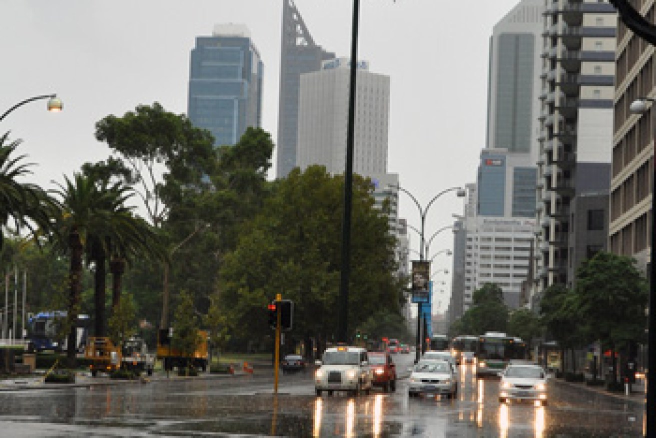
Rain inundates St Georges Terrace in Perth earlier this year. Photo: AAP
Max: 13 degrees – Wangaratta
Victorians also felt the pinch on Wednesday morning with a start of about 6 degrees in Melbourne.
However, city temperatures won’t dip as low as Tuesday’s maximum of 9.8 degrees, the coldest day in two years.
Melbournians can expect a slightly warmer high of 11 degrees on Wednesday, with the cold front focusing on other parts of Victoria.
Hamilton and Mount Disappointment have reported snow fall, while Kerang had only reached 2.4 degrees by 9am.
The coldest should be over by Thursday and Friday, with the weekend forecast for dryer and slightly warmer conditions.
Tasmania
Min: -7 degrees – Liawenee
Max: 12 degrees – Burnie
Launceston will shiver every morning this week in below 0 conditions, reaching an average of 11 for the rest of the week.
Hobart won’t peak above 9 degrees on Wednesday, while the end of the week will reach a top of 12.
Mount Wellington is expecting possible snowfall on Wednesday and Friday, which may result in tourists taking the bus to the peak instead of tackling the two hour walk.
Western Australia
Min: -1 degrees – Yellirrie
Max: 29 degrees – Derby
Thick cloud across western parts of the state will bring rain for the rest of the week, and Sunday is forecast for thundery showers to the west.
Skies in the northern parts of the state should be clearer.
Perth is expecting a minimum of 6 degrees on Thursday but will enjoy high-teen temperatures that many parts of the country will be envious of.
– With AAP and ABC