Dire seven months ahead in ‘severe weather season’


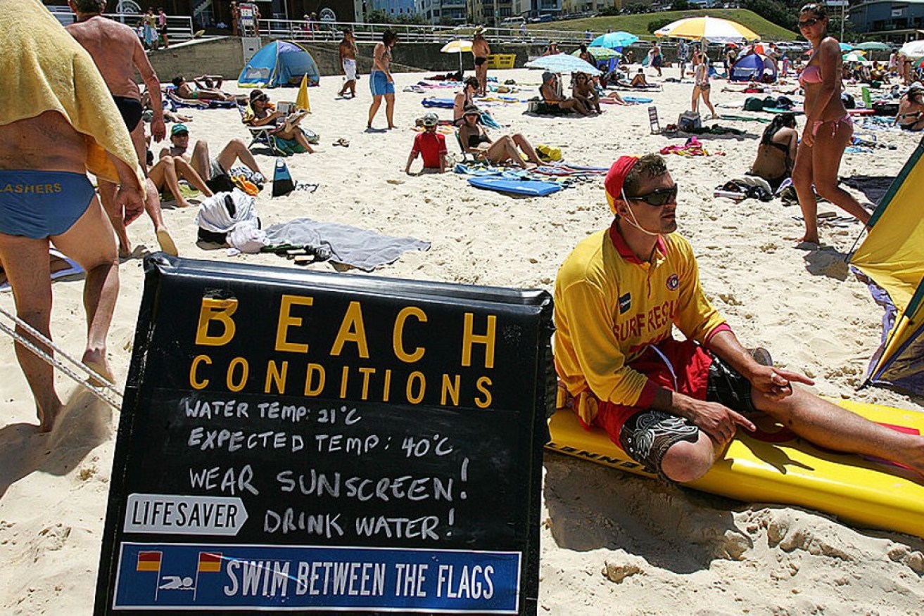
Coastal breezes won't help much as Sydney swelters through extreme temperatures coming to the east. Photo: Getty
Australians have been warned to brace for a dire seven months as the weather bureau predicts a “severe” season ahead.
The Bureau of Meteorology has released its long-range forecast for October to April – the peak time for heatwaves, bushfires, tropical cyclones, severe thunderstorms and floods.
It warned of an “increased risk of heatwaves and bushfires this year” but said there would be one positive reprieve – potentially fewer cyclones.
Also on Monday, the bureau said different climate drivers such as El Nino were influencing the looming severe weather.
For the 2023-24 season, BOM expects the following conditions:
- Heatwave – forecasts show a high chance of unusually warm temperatures for most of Australia until at least February 2024
- Bushfire – there’s an increased risk for much of eastern and southern Australia due to reduced rainfall, high fuel loads and above-average temperatures
- Tropical cyclones – while overall likely to be below average, at least one tropical cyclone crosses our coast each season
- Severe thunderstorms – a normal risk of severe thunderstorms with dry conditions forecast for late spring and early summer
- Flooding – normal risk for localised flooding when storms bring heavy rain and during the northern wet season
Senior meteorologist Sarah Scully said overall Australians should prepare for dry and warm conditions with an increased risk of heatwaves and bushfire weather this spring and summer.
“Daytime and night-time temperatures have an increased chance of being unusually warm for October to February. Warm nights after hot days means little relief from heat and can lead to heat stress,” Scully said.
“There is always a risk of dangerous and destructive fires in Australia at this time of year.
“Grass growth due to above average rainfall in the past two to three years is contributing to an increased fire risk.”
Source: Bureau of Meteorology
Fewer cyclones
The bureau is also predicting an 80 per cent chance of fewer than average tropical cyclones this summer season.
Australia’s most cyclone-prone area is the north-west coast between Broome and Exmouth. Northern Queensland and the Top End of the NT also get plenty of tropical cyclones.
“On average, the first tropical cyclone crosses the Australian coast in late December. This can be later in El Niño years – possibly early to mid-January,” Scully said.
“During El Niño, the number of tropical cyclones in the Australian region is often below average.”
Scully said the start of the Australian summer monsoon was typically later than average during El Nino and positive IOD years.
“The average date is the last week in December and this season it’s more likely to be in the first or second week of January,” she said.
“Severe thunderstorms are more common during the warmer months, particularly in northern NSW, southern Queensland, inland Western Australia and across the tropical north.”
“Thunderstorm asthma can be triggered by thunderstorms after high grass growth in southern Australia from October to December when pollen levels are highest,” she said.
While the long-range forecast shows conditions are likely to be drier than usual for large parts of Australia, there is still a risk of riverine and flash flooding where storms bring heavy rainfall.


