SA bushfires sparks emergency warning as temperatures soar across southern Australia
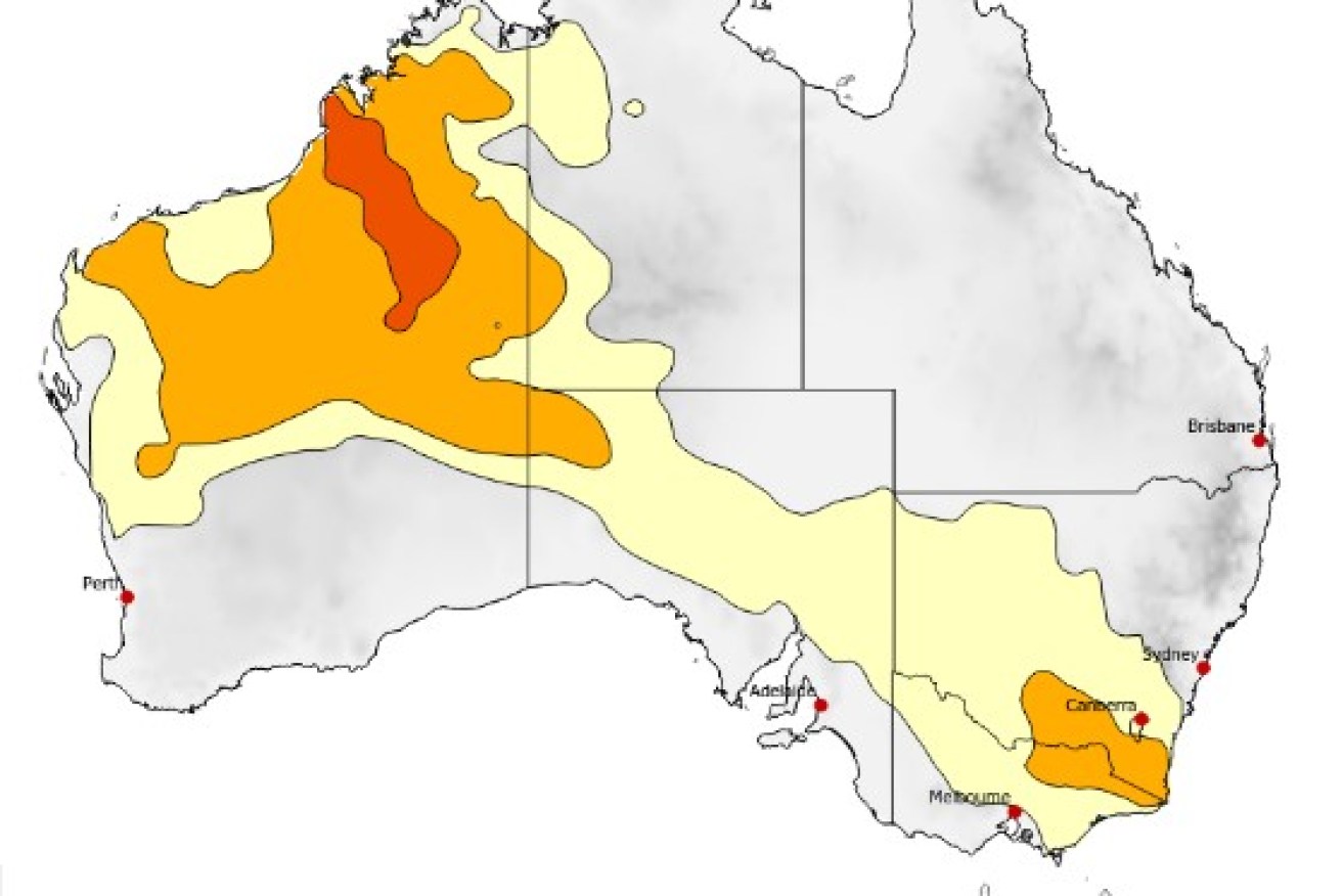
Heatwave conditions are expected to endure for the next three days. Photo: Bureau of Meteorology
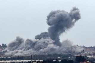
An emergency warning has been issued for a bushfire burning out of control in South Australia’s southeast with authorities warning it poses a risk to lives in the area.
The Country Fire Service says the grass fire at Blackford is burning towards the town of Lucindale.
Locals in the emergency zone have been advised to leave if it is safe to do so.
The Lucindale Council said the town hall would be open for anyone enacting their bushfire safety plan to take shelter.
A watch and act warning is currently in place for the town.
“If you cannot leave, identify where you will seek shelter from the bushfire. Heat from the fire will kill you,” the CFS said.
The blaze comes amid dangerous conditions across much of SA on Monday, with very high temperatures and rising winds.
Tweet from @CFSAlerts
Fire crews are on standby across the state with command centres established and water-bombing aircraft prepared.
Country Fire Service duty commander Brenton Hastie said the underlying dryness across SA meant fires could become dangerous very quickly.
“We had a later start to the season but we’re now into January and the fuel is completely cured which means fires can burn to their maximum,” he said.
“An extreme fire danger rating does mean that a fire has the potential to absolutely threaten lives and homes.”
Winds were also rising ahead of a cooler change expected to push through later in the day.
Temperatures will be milder for the rest of the week.
Tweet from @BOM_au
Meanwhile, a teenager has been charged with starting a bushfire in Adelaide’s south.
On Sunday night fire crews responded quickly to a small grass fire on the grounds of Flinders University where security spotted two people fleeing the scene.
Police searched the area and found a set of house keys that led them to a nearby property where they arrested a 17-year-old.
He was charged with causing a bushfire and was refused police bail to appear in Christies Beach Youth Court on Monday.
Investigations into the identity of the second suspect continue.
NSW bakes with rain then heat
NSW started 2021 with torrential rain and now soaring temperatures are set to bake parts of the state.
A high pressure system over the Tasman Sea is drawing warmer air across NSW, with the Bureau of Meteorology forecasting temperatures to hit the high 30s and lows 40s.
Southern NSW and the Riverina are already feeling the heat but it will build and spread across the state, likely until Friday.
“We’ll see temperatures in Wagga Wagga (reach) 41 on Wednesday, the hottest time of the week for that area, [and] Griffith 42,” meteorologist Melody Sturm said.
“Those are both about nine degrees above the January average.”
The ACT will also swelter this week, with Canberra expected to reach 36 degrees.
Victorians swelter through hottest summer day in a year
Melburnians are swltering through the city’s hottest day in more than a year while the northwest of the state is on high alert for bushfires.
By 3pm, the city temperature was 35.2 degrees and is set to hit 38 degrees as the afternoon wears on. It will be the hottest day in Melbourne since January 31, 2020. Horsham, Mildura, Shepparton and Swan Hill are forecast to reach 40 degrees.
A total fire ban has been declared for the Mallee, Northern Country and Wimmera, with the danger rated as severe across the three regions.
The fire danger in Central, North Central and South West regions is considered very high, while it is high in the North East and Gippsland regions.
The forecast has prompted V/Line to enact its extreme heat timetable across the whole of Victoria on Monday, with services along the Bairnsdale, Bendigo, Echuca, Geelong, Gippsland and Swan Hill lines affected.
Bureau of Meteorology senior forecaster Chris Arvier said the forecast was about 10 degrees above average.
He said Victorians won’t see relief from the hot weather until 11pm.
“A change is coming through in late in the evening and it will be a much cooler day tomorrow before the warm weather returns on Wednesday,” he told AAP.
Melbourne is forecast to reach 34 degrees on Wednesday before mild conditions return.
Emergency services minister Lisa Neville said Monday’s weather would be “challenging in a number of ways”, with the Mallee, Northern Country and Wimmera regions at high risk until about 7pm.
“The reality is that we are likely to see fires today,” Ms Neville told reporters.
“We have pre-deployed our aircraft into those areas at highest risk. We’ve got incident teams already in those areas and and all our firefighters and their crew and other support people on readiness for fires.”
-with AAP

Top videos: Popeye aboard pumpkin, otter in a spin

Four dead in ‘heart-breaking’ crash