Victoria, South Australia brace for heatwave conditions
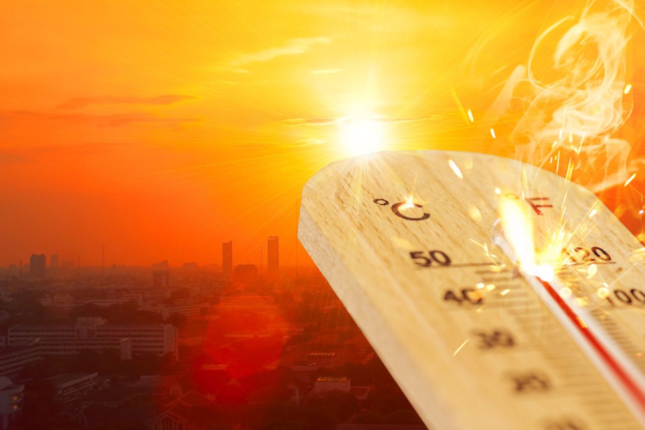
A summer hot spell is fuelling bushfire fears, with total fire bans declared for large swathes of southern Australia including several northern Victorian regions on Monday. Photo: Getty
Temperatures are set to soar into the low 40s on Monday in southern parts of Australia in the first heatwave spell in over a year, with concerns of lightning strikes prompting bushfire alerts for South Australia.
Melburnians are set to swelter through the city’s hottest day in more than 12 months while the northwest of the state and most districts in South Australia are on high alert for bushfires.
The temperature is set to hit 38 degrees in Melbourne on Monday – its hottest day since January 31, 2020 – while Horsham, Mildura, Shepparton and Swan Hill are forecast to reach 40 degrees.
Meanwhile, fire crews are on standby, command centres are ready to go and water-bombing aircraft have been prepared as South Australia heads into a day of high bushfire risk.
Dangerous conditions have been declared in most districts for Monday, prompting total fire bans amid warnings the scrub is ready to burn.
Tweet from @vicemergency
A total fire ban has been declared for the Mallee, Northern Country and Wimmera, with the danger rated as severe across the three regions.
The fire danger in Central, North Central and South West regions is considered very high, while it is high in the North East and Gippsland regions.
The forecast has prompted V/Line to enact its extreme heat timetable across the whole of Victoria on Monday, with services along the Bairnsdale, Bendigo, Echuca, Geelong, Gippsland and Swan Hill lines affected.
Bureau of Meteorology senior forecaster Chris Arvier said the forecast was about 10 degrees above average.
He said Victorians won’t see relief from the hot weather until well into Monday night.
“A change is coming through in late in the evening and it will be a much cooler day tomorrow before the warm weather returns on Wednesday,” he told AAP.
Melbourne is forecast to reach 34 degrees on Wednesday before mild conditions return.
South Australia a ‘day of concern’
The state’s Country Fire Service duty commander Brenton Hastie said the underlying dryness means fires can become dangerous very quickly.
“We had a later start to the season but we’re now into January and the fuel is completely cured which means fires can burn to their maximum,” he said.
He said Monday was set to be “a day of concern for us”: “An extreme fire danger rating does mean that a fire has the potential to absolutely threaten lives and homes.”
Tweet from @BOM_SA
The Bureau of Meteorology says Adelaide will have a top temperature of about 37 degrees but the mercury will push into the 40s in some regional centres.
It says winds will also rise, contributing to the fire danger on Monday morning, but conditions will start to ease later in the day as a cooler change moves through.
Temperatures will be milder for the rest of the week.
An extreme fire danger rating is forecast for the Lower South East, while a severe fire danger rating has been set for the Lower Eyre Peninsula, Mid North, Yorke Peninsula, Riverland, Mount Lofty Ranges, Murraylands, Kangaroo Island and Upper South East.
Emergency Services Minister Vincent Tarzia said South Australians should always be prepared to respond to the threat of bushfires.
“Whether you’re travelling across South Australia enjoying our beautiful state on holiday, or back at home, you must always be prepared to respond to a bushfire emergency,” Mr Tarzia said.
“Have your bushfire survival plan ready. It takes five minutes to complete and could save your life.”
Tasmania enters total fire ban day
A La Nina weather pattern across southeastern Australia has helped to ward off bushfire activity in the fire-hit states of Victoria and NSW this season.
But expected north to northwesterly winds, followed by a west-southwesterly change, dry conditions and an outside chance of some thunderstorm activity has forecasters and fire crews on alert.
Those winds will push down hot air to Tasmania, lifting maximum temperatures 10 to 15 degrees above the January average.
New Norfolk and Richmond are tipped to experience Monday’s most extreme maximums of 37 degrees, only two degrees hotter than Hobart’s forecast top.
The Tasmanian capital is among 12 municipalities subject to a total fire ban from 2am on Monday, with residents encouraged to avoid travelling to those high-risk areas unless it is critical.
The Tasmania Fire Service has pre-deployed a suite of extra resources, including a number of air water-bombers.
“They’ll certainly be our first initial attack and we’ll have additional strike teams in position ready to jump on these fires if they start,” acting regional chief Ian Bounds told reporters on Sunday.
The fire-friendly hot conditions will be made more complex by 30 to 40km/h winds and possible afternoon dry thunderstorms over southern Tasmania with little or no rainfall.
-with AAP
Independents eye challenge to Dutton, high-profile Libs