Warm and dry winter ahead. Sounds good? Not to our farmers


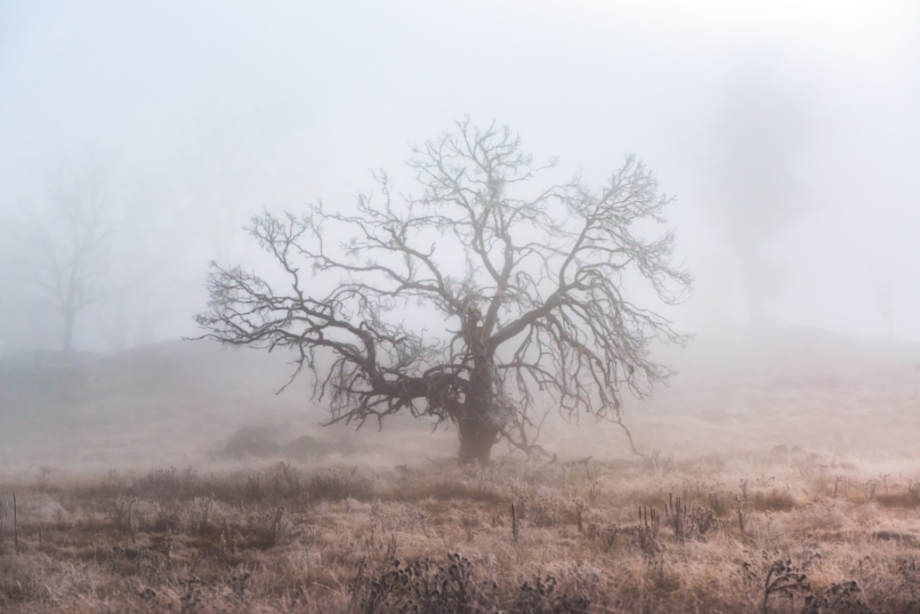
There'll be fog and frost and moody sunsets. There just won't be much rain and the snow will be on the thin side. Photo: Getty
The winter climate forecast for much of Australia is the same as it was for summer: warmer and drier than previous years.
While that might sound pleasant if you’re freezing your ears off at the moment, it’s horrible news for farmers caught in the drought that will not be broken by winter rains.
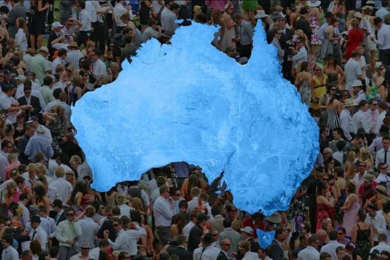
A map from the Bureau of Meteorology shows that the chance of rain for Queensland, NSW and Victoria – and half of South Australia and almost all of the Northern Territory (which is in its dry season anyway) – runs between 20 and 40 per cent.
The lowest forecasts – between 20 and 30 per cent chance of good rain – look to occur in Australia’s food bowl and grazing country.
As the BOM put it drily in a statement, the winter climate outlook “shows that eastern and central Australia is unlikely to receive the above average rainfall many have been hoping for.”

Map showing the low probabilities for higher than average rainfall across Australia during winter 2019. Farming areas appear to have the lowest probability. Graphic: BOM
On the upside, if you’re already sick of wearing a parka and woollen stockings, there is an 80 per cent chance of warmer days, as experienced in early May.
Remember autumn? One of the five warmest on record
As the BOM puts it: “Daytime temperatures have been much warmer to very much warmer than average for much of Australia.”
The BOM says winter nights are very likely to be warmer than average in Tasmania, along the mainland’s southeast coast, and northern WA stretching through parts of the NT.
But, the driest parts of the country will also be subject to empty, cloudless skies – leading to a greater chance of frost. Which is one more thorn in the side of farmers trying to coax life out if the ground.
“Winter hasn’t been cancelled… and the forecast isn’t a guarantee,” BOM climatologist Jonathan Pollock told The New Daily.
“There will still be some cold temperatures and some rainfall around.”
But essentially we’re stuck in a big dry. Why is that?
And why has the big dry struck the food bowl?
In a recent special climate report, BOM says the drought has taken place against a backdrop of consistently rising temperatures.
“Warming was slower to develop in the Murray darling basin than it was over most other parts of the country … but in recent decades the Basin has seen some of the most rapid warming in Australia,” it said.
The last five years have ranked among the nine warmest on record for the basin (with 2017 being the warmest), and nine of the basin’s ten warmest years have occurred since 2005.
“This warming has placed additional moisture stress on many systems within the region, over and above that associated with variations in rainfall.”
The biggest driver of 2019’s climate is what’s happening on the ocean.
Over the last seven or so months, BOM’s El Niño/Southern Oscillation (ENSO) outlook has kept to a 50 per cent probability of El Niño developing – double the normal risk at this time of year. El Niño events typically mean reduced rainfall for eastern Australia during winter and spring.
“In the Pacific, there was some warming at the end of last year. Temperatures in the Pacific have been hovering around that El Nino threshold and it wouldn’t take much to get an event happening,” said Mr Pollock.
However, the threat has eased a little. The World Meteorological Organization announced that a strong El Nino event during 2019 – where sea temperatures in the tropical Pacific would rise an average 1.5C degrees — appears unlikely.
Look to the Indian Ocean
The main driver is now in the Indian Ocean: with modelling predicting a positive Indian Ocean Dipole will develop in June, and persist through winter and into spring.
“Think of it as El Nin’s cousin,” said Mr Pollock.
If there is any good news here, it’s that “often a positive dipole and El Nino can coincide,” said Mr Pollock. “And when they do they tend to compound the impacts of that dry signal.”
And the snow season? While snowfalls will be lighter than average in late winter and spring because of the dipole, the drier and colder air at night make for great snow making conditions.


