Why El Nino doesn’t mean certain drought
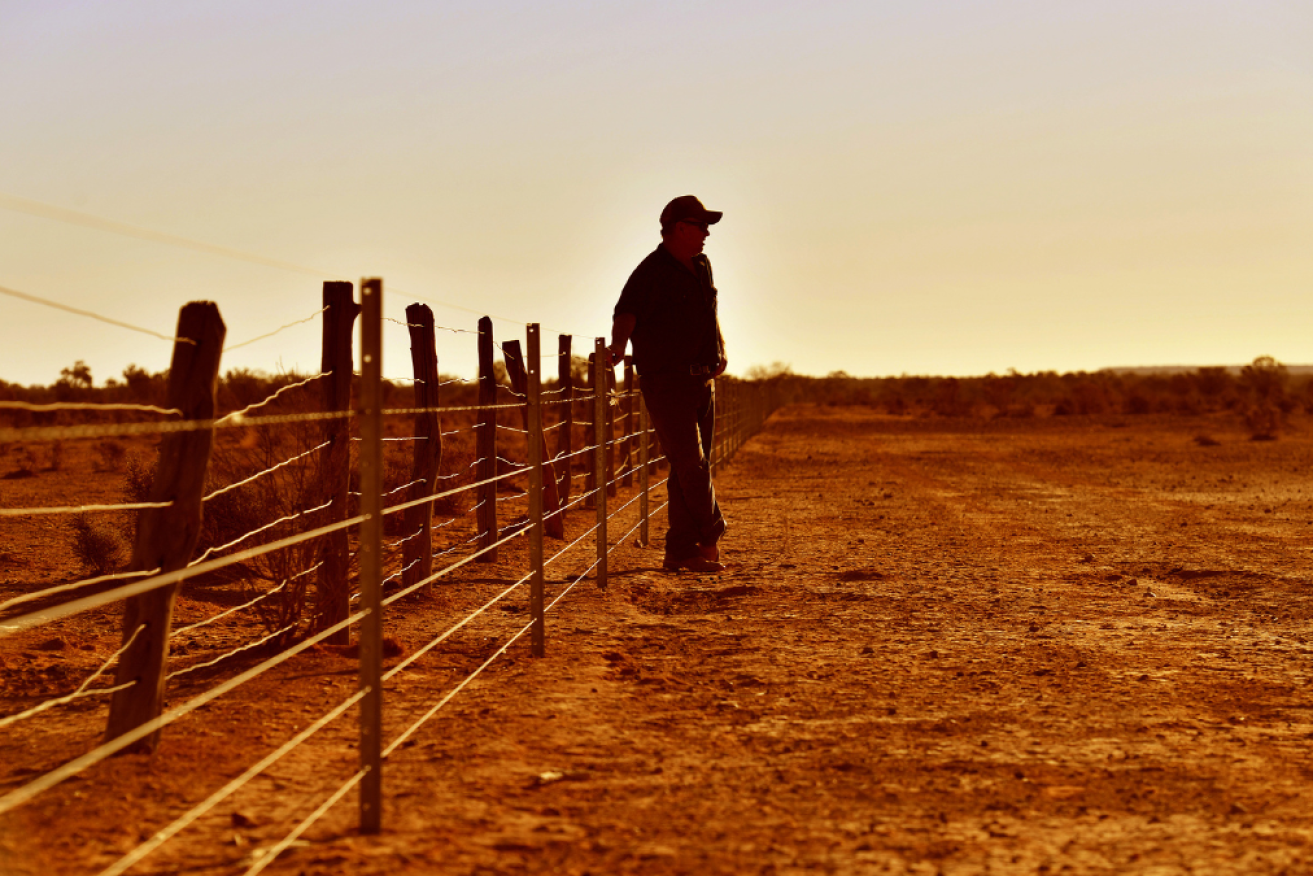
Photo: AAP
The Bureau of Meteorology released its latest climate driver update on Tuesday, saying the current La Nina has weakened and is “likely near its end”.
Most climate models now point to neutral conditions – neither El Nino nor La Nina – through autumn and a trend towards El Nino in early spring.
But it’s too early to say if a return to El Nino is imminent. Nor can we say Australia is about to swing back into drought, as many people fear, after three years of heavy rain associated with consecutive La Niñas.
Putting aside the uncertainties in long-range forecasts of El Nino, there are other factors that will determine whether Australia returns to drought.
Drought prediction is complex
El Nino is, of course, a well-known contributor to drought events. But a number of diverse climate drivers affecting different regions should be included in these discussions.
The other two most frequently mentioned drivers are the Indian Ocean Dipole and Southern Annular Mode. These, along with the Sub-tropical Ridge, fluctuations of the Madden-Julian Oscillation and local weather systems, can make dry periods worse or provide rainfall relief.
Drought prediction is also complex due to the nature of drought itself. Drought is a creeping disaster. Its build-up is slow, and predicting drought requires accurate long-range rainfall forecasts.
However, the range of drivers contributing to rainfall over seasons makes accurate forecasting in Australia challenging.
What is a drought?
Drought is simply a shortage of water to meet demand.
But this definition has an underlying complexity – demand changes depending on who requires the water. As a result, we have different types of droughts depending on the type of water shortage.
Drought begins with a lack of rain and snowfall. This is known as meteorological drought. When these deficiencies are sustained, evaporation demand leads to decreases in soil moisture and river flow into dams. As we continue to consume water and plants use up moisture, these storages decline even further without rain to refill them.
When we reach critical levels of dams and soil moisture we have hydrological and agricultural drought. A long hydrological or agricultural drought then leads to devastating impacts on the environment, economy and society.
This evolution of drought is known as propagation. It usually takes months or seasons. During this time, we’ve most likely passed from the influence of one climate driver to another.

It usually takes some time for water storages to drop to critically low levels. Photo: AAP
What causes a drought?
Our understanding of drought took off from studies focusing on the impacts and causes of the Millennium Drought between 1997 and 2010.
At first, El Nino was identified as a major player in this period, suppressing autumn rainfall in south-eastern Australia. Over time, the significant effects of the Indian Ocean Dipole and Southern Annular Mode were identified as adding to the extreme dry conditions.
All three climate modes acted in concert to sustain and prolong the Millennium Drought over a vast area.
Looking over our entire climate records reveals that drought impacts vary through space and time. Behind this variability is the different roles of the drivers in causing long dry periods.
The contribution of a given driver to drought is also different for different areas of Australia. For example, our research shows the various drivers can explain 75 per cent of the rainfall deficit during drought onset for areas across southern Australia, but only 30 per cent for the subtropics and tropics.
Will we be in drought in 2023?
A return to El Niño could trigger a drought for some regions of Australia.
However, our catchments are displaying wet to slightly drier than average conditions and our dams are generally full. We would need significant drying for a severe drought such as 2017 to 2019 or 1982 to 1983 to take hold.

Recent root-zone soil moisture levels are average to above average across most of Australia.
Bureau of Meteorology
During 1976-1977, a weak El Nino developed alongside a neutral Indian Ocean Dipole. This followed a triple-dip La Nina similar to the one we have just been through. After the El Nino developed, the resulting spring and summer rainfall was above average for much of eastern Australia.

The weak El Nino in 1976-1977 brought above-average rainfall for eastern Australia.
Source: Bureau of Meteorology
This shows not all El Nino events equate to drying if the right conditions align. Even the most recent El Nino in 2018-19 had mixed impacts on Australian rainfall.
It is also important to remember that drought depends on who requires water and when.
Flash droughts consist of a series of dry weeks and high temperatures. We are still learning about their relationship with the larger climate drivers and if we can predict them. But flash droughts can devastate agriculture if they happen at the wrong time.
The scars of 2017 to 2019, which culminated in the Black Summer bushfires, are still fresh in the minds of many who may see El Nino as an unwelcome visitor.
However, the complexity of our climate system and the creeping nature of drought are major challenges to forecasting drought months in advance.
As a result, it is hard to simply equate a projected El Nino to impending drought.![]()
Abraham Gibson, research fellow, Faculty of Science and Engineering, Southern Cross University and Danielle Verdon-Kidd, associate professor, School of Environmental and Life Sciences, University of Newcastle
This article is republished from The Conversation under a Creative Commons licence. Read the original article.

AFI achievement award overwhelms Kidman

AI images proliferate with scammers, spammers

Russell Crowe takes band on first US tour for years