Heat records set last weekend may be broken again this week
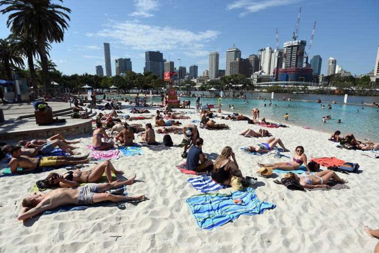
Brisbane's South Bank: Queensland will bear the brunt of the extreme heat. Photo: AAP
Temperature records set on Saturday may not last long, as eastern Australia braces for another heatwave.
Outback regions will be even hotter.
The Bureau of Meteorology predicts Queensland will hit a new September record on Wednesday, with Birdsville in the far west Channel Country expected to reach 43 degrees. That would equal the hottest September day ever recorded anywhere in Australia.
Brisbane is forecast to hit 36 degrees on Thursday and 33 degrees on both Friday and Saturday, while Sydney is set for a run of temperatures in the mid-to-high 20s from Thursday to Saturday.
Records set to fall as mercury rises
After smashing its own temperature records at the weekend, western New South Wales is tipped to do it again.
Bourke is predicted to hit 42 degrees on Wednesday, which would be the hottest September day ever recorded in NSW.
It was one of five sites across NSW to break the 40-degree barrier on Saturday, the first time on record the state has topped 40 degrees in September.
The series of significant temperature records are “quite exceptional”, according to forecasters.
It is an “unusual, intense, early-season event”, according to Scott Williams, senior forecaster on the Bureau of Meteorology’s extreme weather desk.
“Some [of the predicted temperatures] would break records by as much as two to three degrees, so it’s very significant,” he said.
“Normally when records fall it’s by a few tenths of a degree, whereas we saw on Saturday, particularly as it dipped into Victoria, records smashed by two to three degrees.
“We’re likely to see a repeat of that, only this time it’s further north.”

Map showing how far above average weekend temperatures were. Graphic: Bureau of Meteorology
Why is it so hot, so early in the year?
Mr Williams said the extreme heat was the result of a low pressure system dragging heat down from north-west Australia.
While that pattern brought heavy rain to south-west WA last weekend, it rained itself out before hitting the hot, dry air over the Northern Territory and South Australia.
“There will be a 48-hour period where there is a wind change moving across from western NSW to the east of NSW and south-east Queensland,” Mr Williams said.
“Ahead of that, we’ve got high pressure in the Tasman, we’ll have north to-north-westerly winds, that will bring that heat down ahead of that trough, into northern NSW and southern Queensland.”
This week’s extreme heat is not expected to hit Victoria, which also set new September records for Mildura and Gippsland last week.
How long will it last?
While there will be some reprieve from the extreme heat by Friday, the Bureau of Meteorology warns the heatwave could stick around for weeks.
Mr Williams said if a low pressure system developed far enough to the north, it could pull moisture down from the Gulf country, bringing rain and cooler conditions.
But there was no sign of that on the immediate horizon.
“Quite often [heatwaves] go for two or three weeks, as it did in the lead-up to the Victorian fires in 2009,” he said.
“Late next week there’s some hope that we might get such a system, but we’ll probably still see at least one more surge of heat [coming] south next week.”
Long, hot summer ahead?
After record September heat and a warning from the nation’s fire chiefs of a dangerous bushfire season, how concerned should Australians be about the summer ahead?
Mr Williams said there was no need to panic — record heat in early spring did not necessarily guarantee a record hot summer.
“There’s been plenty of years when we’ve had springtime heat and we’ve got an early monsoon and a decent wet season,” he said.
“The climate outlook for the next three months suggests conditions of about 50-50 probability of wetter or drier, and hotter or colder, than average.”
– ABC