NSW, Queensland brace for more severe thunderstorms

New South Wales' wet and windy weather isn't over yet. Photo: AAP
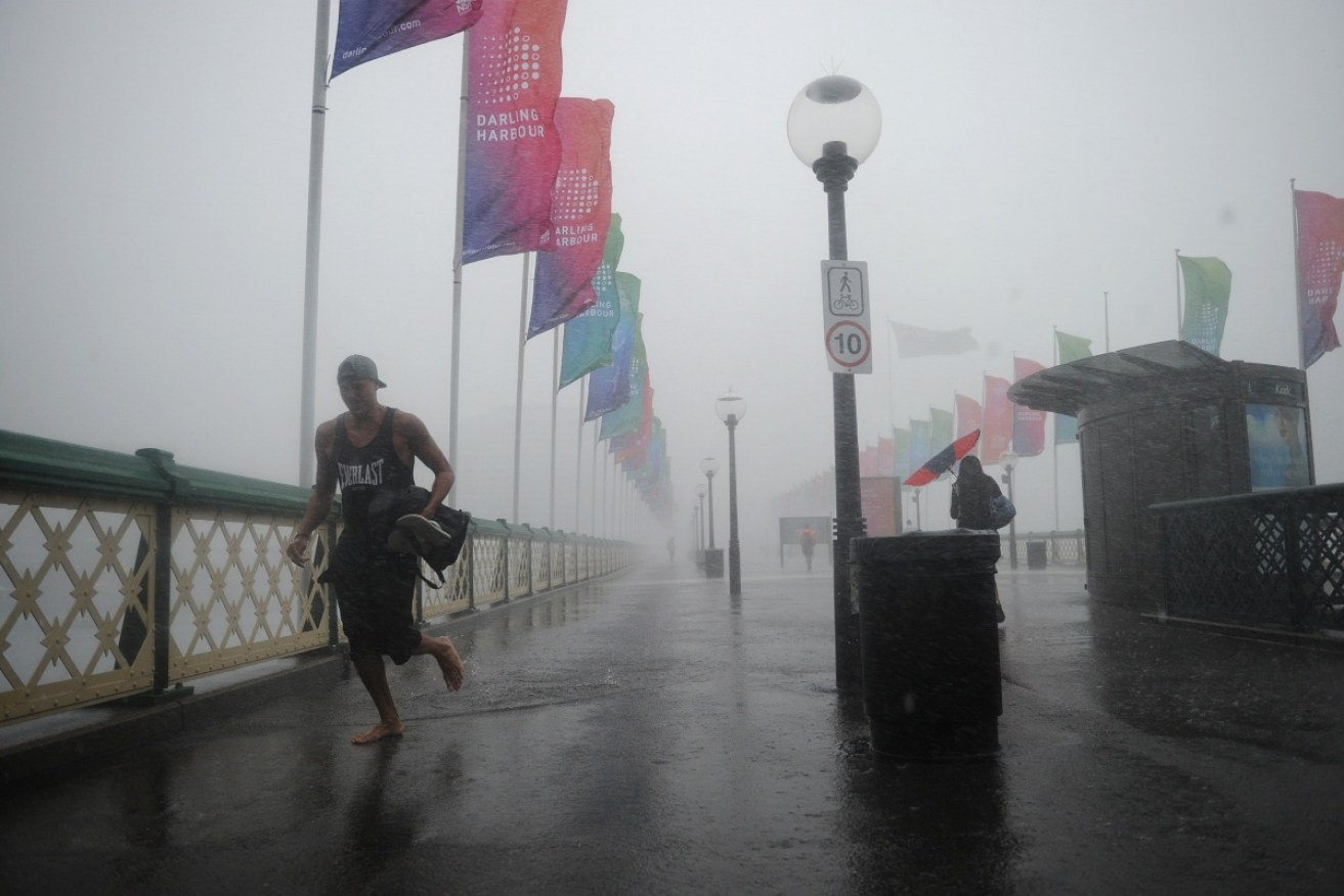
After 48 hours of damaging winds and heavy rainfall, New South Wales residents are being warned to brace for a third day of storms.
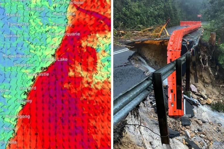
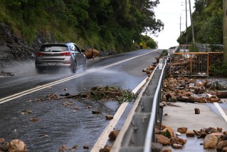
The Bureau of Meteorology (BoM) issued the warning on Sunday, following severe thunderstorms which have caused widespread blackouts and property damage across the state since Friday.

NSW has copped its fair share of wet weather this February. Photo: AAP
The BoM said the wild weather is expected to return once more to the north-eastern third of the state, before drifting into south-east Queensland on Monday.
“The thunderstorms that we have at the moment are confined to the Northern Tablelands and parts of the Mid North coast and parts of the Hunter region,” BoM forecaster Mohammed Nabi told The New Daily.
“We are watching those storms and the rainfall rate across these parts carefully.”
He said the areas from Byron Bay to Port Macquarie could expect the worst of the forecast conditions, while the Batemans Coast and Eden Coast will be struck by destructive winds through to Monday.
“High pressure will return across NSW on Monday for some fairly benign weather with the systems that gave Sydney all those storms moving up to the north-east,” he said.
But for Queensland, the shift is expected to drive heavy rain and strong winds across the entire south-east inland, as the northern part of the state battles a cyclone warning.
Brisbane, the Sunshine Coast and Darling Downs are expected to cop the brunt of a storm late on Sunday and into the early hours of Monday morning.
“Some pretty widespread rain and some embedded thunderstorms and heavy fails and gusty winds are expected late this afternoon and into the early hours,” BoM forecaster Dean Narramore told The New Daily.
The BoM also reported a tropical low in the Gulf of Carpentaria will likely form a cyclone late on Sunday, bringing rainfall of up to 200mm to some already sodden areas over the following 24 hours.
The weather system is currently tracking north into open water, but is expected to swing around to the south at about 7am on Monday after forming a category one cyclone.
It is expected to briefly intensify into a category two system before weakening again before making landfall at the Queensland and Northern Territory border.
NSW ravaged by destructive storms

SES crews received over 650 calls for help during the storms. Photo: Facebook
The State Emergency Service (SES) received more than 650 calls for help over the weekend to fix leaking roofs, broken windows and to clear fallen powerlines and trees.
“We’ve got hundreds of volunteers out at the moment, they’ve been working hard since yesterday’s storms,” SES spokeswoman Sue Pritchard said on Sunday.
She said the phones had been ringing off the hook with at least 100 calls still banked up by 7pm on Saturday.
The wild weather brought tennis ball-sized hailstones in Sydney on Saturday, leaving thousands of homes without power, and property damaged.
People took to social media to share photos of the large hail, which one user described as the “biggest hail I’ve ever seen”.
https://twitter.com/MikaelaCurtis/status/832830361780383747?ref_src=twsrc%5Etfw
The highest amount of rainfall was recorded at Mona Vale, where 46mm fell.
About 40,000 customers across the Central Coast and in Sydney were left without power, according to Ausgrid.